South Loop Trail
- 0.5 mi
- round trip
- 471 ft
- climb
- 4,793 ft
- high point
- Out and back
- route
- Mar–Jun, Sep–Oct
- best months
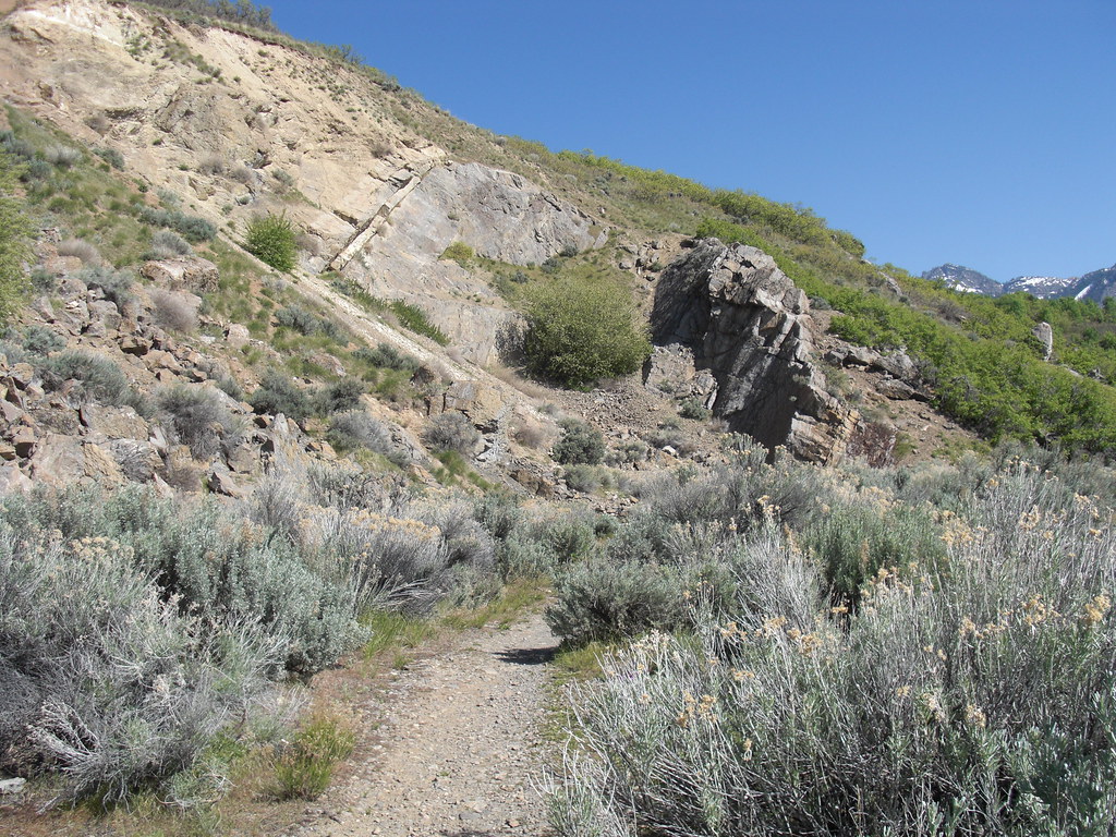
South Loop Trail is an easy, out-and-back hike of about a mile, with a total elevation gain of roughly 470 feet. The route starts at an elevation of about 4,766 feet and reaches a high point of about 4,793 feet, making it a short walk that adds only a few hundred feet of climbing to a trip that can be done in about half an hour. The trail sits about half a mile from the town of Canyon Rim, Utah. The climb is rolling, and the steepest section comes early on, around 0.29 miles in, with a grade of about 13%. Since the total gain and loss are equal, the trail works well as a short loop or a quick stop on the way to other spots nearby. Spring and fall are the most comfortable times to go. Typical averages from a nearby weather station run from highs around 73°F with lows near 46°F in May to highs near 66°F with lows around 41°F in October, while July highs typically reach about 92°F. The Bonneville Shoreline Trail has two sections close by, the Parley's Pointe Section about 0.7 miles away and the Grandeur Peak Section about 0.9 miles away. The Benchmark Primitive Trail is 0.8 miles off, and the Iron Curtain Wall climbing area is 0.9 miles away.
Local outfitters
- Midway Adventure Company22 mi away
- Rocky Mountain Outfitters23 mi away
Not on Roamze yet. Their page has how to reach them.
 Bonneville Shoreline Trail - Parley's Pointe SectionHikingPhoto: Famartin, CC BY-SA 3.0 (via Wikimedia Commons)0.7 mi
- Benchmark Primitive TrailHiking0.8 mi
- Iron Curtain WallRock climbing0.9 mi
- Bonneville Shoreline Trail - Grandeur Peak SectionHiking0.9 mi
- Riptide WallRock climbing1 mi
 Jordan RiverCanoeingPhoto: Andrey Zharkikh from Salt Lake City, USA, CC BY 2.0 (via Wikimedia Commons)7.5 mi
- Jordan River Water TrailCanoeing9 mi
- Jordan Pines CgCamping9.6 mi
Source: Roamze catalog (indexable pages within 10 miles, PostGIS distance)
- Bonneville Shoreline Trail - Parley's Pointe SectionHiking · ~1 min drivePhoto: Famartin, CC BY-SA 3.0 (via Wikimedia Commons)
- Grandeur Peak WestHiking · ~3 min drivePhoto: Famartin, CC BY-SA 3.0 (via Wikimedia Commons)
 Mount Olympus TrailHiking · ~7 min drivePhoto: rodrigodemarque, CC BY 3.0 (via Wikimedia Commons)
- Crestwood Gulch TrailHiking · ~3 min drive
- Bst Mount OlympusHiking · ~7 min drive
- Pipeline TrailHiking · ~4 min drivePhoto: Famartin, CC BY-SA 3.0 (via Wikimedia Commons)
 Bonneville Shoreline Trail - Mount Wire SectionHiking · ~5 min drivePhoto: Mark Cowell, CC BY 3.0 (via Wikimedia Commons)
 Mount Wire Southwest TrailHiking · ~7 min drivePhoto: pinkblackmusik, CC BY-SA 3.0 (via Wikimedia Commons)
- Scrubby Connector TrailHiking · ~3 min drive
- Desolation TrailHiking · ~7 min drive
Best time to visit South Loop Trail
Best months: March–June and September–October. Best months have typical highs of 55–85 °F, lows of 30 °F or warmer (32 °F where the station doesn't record snow), at most one snowy day and no more than 12 wet days.
Jan
40° / 23°
Feb
46° / 26°
Mar
56° / 33°
Apr
63° / 38°
May
73° / 46°
Jun
84° / 55°
Jul
92° / 63°
Aug
90° / 62°
Sep
80° / 53°
Oct
66° / 41°
Nov
52° / 31°
Dec
41° / 23°
Typical high / low (°F) and days with rain or snow, 1991–2020. Measured at Salt Lake City E Bench, UT, 1.9 mi away at 4,850 ft. This station doesn't record snowfall. Source: NOAA NCEI U.S. Climate Normals 1991–2020.

Map and trail data © OpenStreetMap contributors
