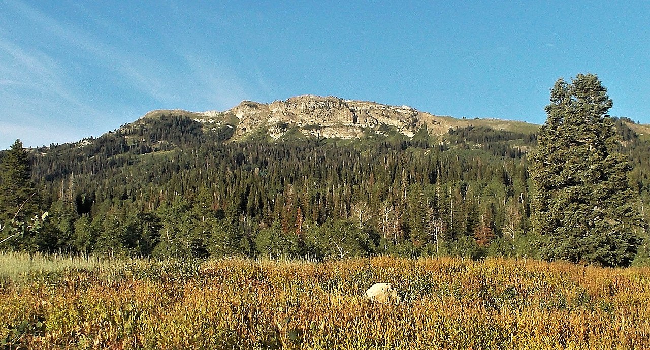
Parrish Creek
- 1.3 mi
- round trip
- 1,183 ft
- climb
- 8,283 ft
- high point
- Out and back
- route
Is PARRISH CREEK open right now?
No closures listed
The Forest Service lists no closures for Uinta-Wasatch-Cache National Forest.
As of · Source: USFS · Uinta-Wasatch-Cache National Forest. Agencies don't list every closure — check before you go.
Parrish Creek is a moderate out-and-back hike in Utah's Uinta-Wasatch-Cache National Forest, within the Salt Lake Ranger District. The route covers about 2.6 miles, with a total climb of roughly 1,183 feet and a high point of about 8,283 feet. The trail is front-loaded, and the steepest section comes early, around 0.22 miles from the start, where the grade reaches about 26 percent. That makes the first part the most demanding, with the descent on the return trip mirroring the climb. The start sits at about 7,328 feet, and the low point on the way down is around 7,315 feet. The hike takes about 1.5 hours to complete. It makes a good addition to a day in the surrounding area, which has plenty to offer. Deuel Creek Trail lies about 1.1 miles away, and the Bountiful climbing area is about 1.4 miles off. The Bountiful B Trail and Skyline Drive are both within about 1.5 miles.
Local outfitters
- Midway Adventure Company34 mi away
- Rocky Mountain Outfitters36 mi away
Not on Roamze yet. Their page has how to reach them.
- Deuel Creek TrailHiking1.1 mi
- BountifulRock climbing1.4 mi
- BUCKLAND RIDGEHiking1.5 mi
- Bountiful B TrailHiking1.5 mi
- Skyline DriveHiking1.5 mi
- Bountiful Peak CgCamping3.7 mi
- Farmington CragRock climbing4.4 mi
- FarmingtonRock climbing4.9 mi
Source: Roamze catalog (indexable pages within 10 miles, PostGIS distance)
- Deuel Creek TrailHiking · ~2 min drive
- Bountiful B TrailHiking · ~3 min drive
- Skyline DriveHiking · ~3 min drive
- Bonneville Shoreline TrailHiking · ~4 min drive
- BUCKLAND RIDGEHiking · ~3 min drive
- TUTTLE LOOPHiking · ~3 min drive
- Bountiful Peak TrailHiking · ~4 min drive
- Tuttle Loop TrailHiking · ~4 min drive
- Wagon Wheel TrailHiking · ~3 min drive
- Buckland Ridge TrailHiking · ~4 min drive
Also worth it near here