Canyon Wren Group Campsite
Campground
Campground · 0.5 mi from the trail
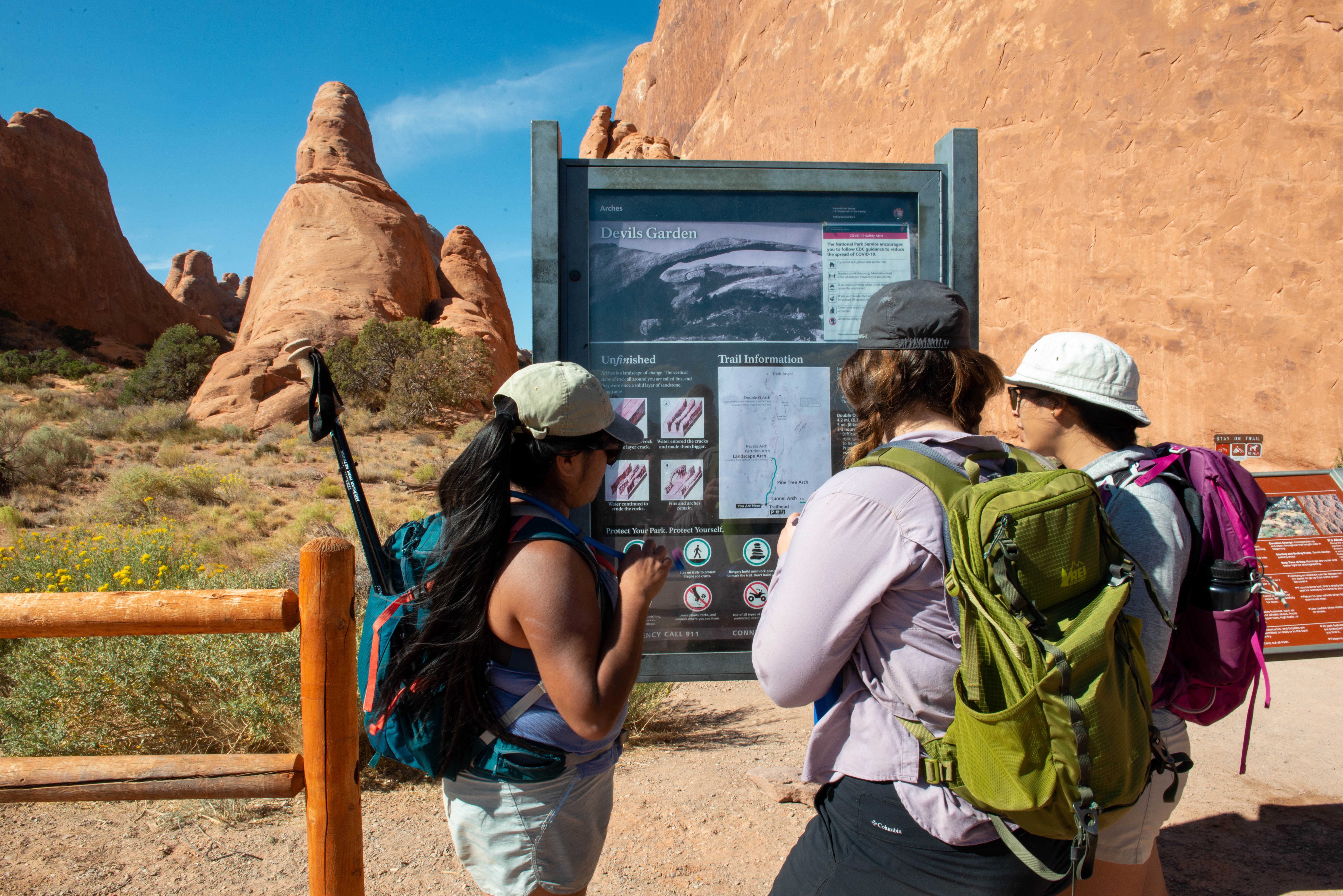 Photo: NPS/Veronica Verdin
No closures listed
The National Park Service lists no closures for Arches National Park.
As of · Source: NPS · Arches National Park. Agencies don't list every closure — check before you go.
Devils Garden is located at the northern end of the park, 18 miles (28 km) from the park entrance. Toilets are open year-round. Drinking water is available spring through fall. This trailhead offers a range of hiking experiences, from easy to strenuous. Three options are listed below. To Landscape Arch • Roundtrip Distance: 1.8 mi (2.9 km) • Time: 30-60 min • Elevation Change: 40 ft (12 m) • Difficulty: Easy • Hike Description: A hard-packed trail leads to a spectacular ribbon of rock. Spur trails lead to Pine Tree Arch and Tunnel Arch. • Accessibility: While the trail is considered barrier free, just before Landscape Arch the trail has steep slopes that may require assistance. • Dogs are not allowed on this trail. Service animals are allowed in national parks. What is a service animal? To Double O Arch • Roundtrip Distance: 4.0 mi (6.4 km) • Time: 2-3 hours • Elevation Change: 275 ft (84 m) • Difficulty: Strenuous • Hike Description: Past Landscape Arch, the trail climbs steeply over sandstone slabs. There are uneven surfaces and narrow ledges with steep drop-offs. Spur trails lead to more arches. Dark Angel is 0.4 miles (0.6 km) beyond Double O Arch. • Bring: Bring at least 2 quarts (2 L) of water per person. Avoid wearing shoes with open toes, high heels, or slick soles. • Accessibility: Beyond Landscape Arch, this trail is not accessible to wheelchairs. • Dogs are not allowed on this trail. Service animals are allowed in national parks. What is a service animal? Entire Devils Garden Trail • Roundtrip Distance: 7.9 mi (12.7 km) • Time: 3-5 hours • Elevation Change: 286 ft (87 m) • Difficulty: Strenuous • Hike Description: The full Devils Garden Trail includes Landscape Arch, Double O Arch, Dark Angel, and the primitive trail. This challenging hike involves narrow ledges, steep exposures, uneven surfaces, rock scrambling, and few trail markers. Avoid when rock is wet or icy. • Bring: Bring at least 3 quarts (3 L) of water per person and a headlamp and light jacket in case your return is after sundown. Avoid wearing shoes with open toes, high heels, or slick soles. • Accessibility: Beyond Landscape Arch, this trail is not accessible to wheelchairs. • Dogs are not allowed on this trail. Service animals are allowed in national parks. What is a service animal? Adventure waits for sightseers, hikers, and thrill-seekers in Devils Garden. Here you’ll find arches, spires, and a large concentration of narrow rock walls called “fins.” Fins form when rainwater erodes parallel fractures caused by the uplift of salt deposits below the surface. Fins eventually erode and give way to the formation of arches like Landscape Arch, the crown jewel of Devils Garden. Landscape Arch is the longest arch in North America with a light opening of 306 feet (93.3 meters). This awe-inspiring expanse is only 6 feet (1.8 meters) in diameter at its narrowest. Large segments of the arch came crashing down in the 1990s – proof that the park’s landscape can change dramatically in a instant. Although other arches have fallen, Landscape Arch still hangs on by a very thin thread.
Canyon Wren Group Campsite
Campground
 If it rainsCarter Pape, CC BY-SA 4.0 · Wikimedia Commons
Hell's Revenge
Attraction
Places © OpenStreetMap contributors · Photos: Carter Pape, CC BY-SA 4.0 (commons)
More in MoabNot on Roamze yet. Their page has how to reach them.
 Amphitheater PathHikingPhoto: Ken Lund from Reno, Nevada, USA, CC BY-SA 2.0 (via Wikimedia Commons)0.6 mi
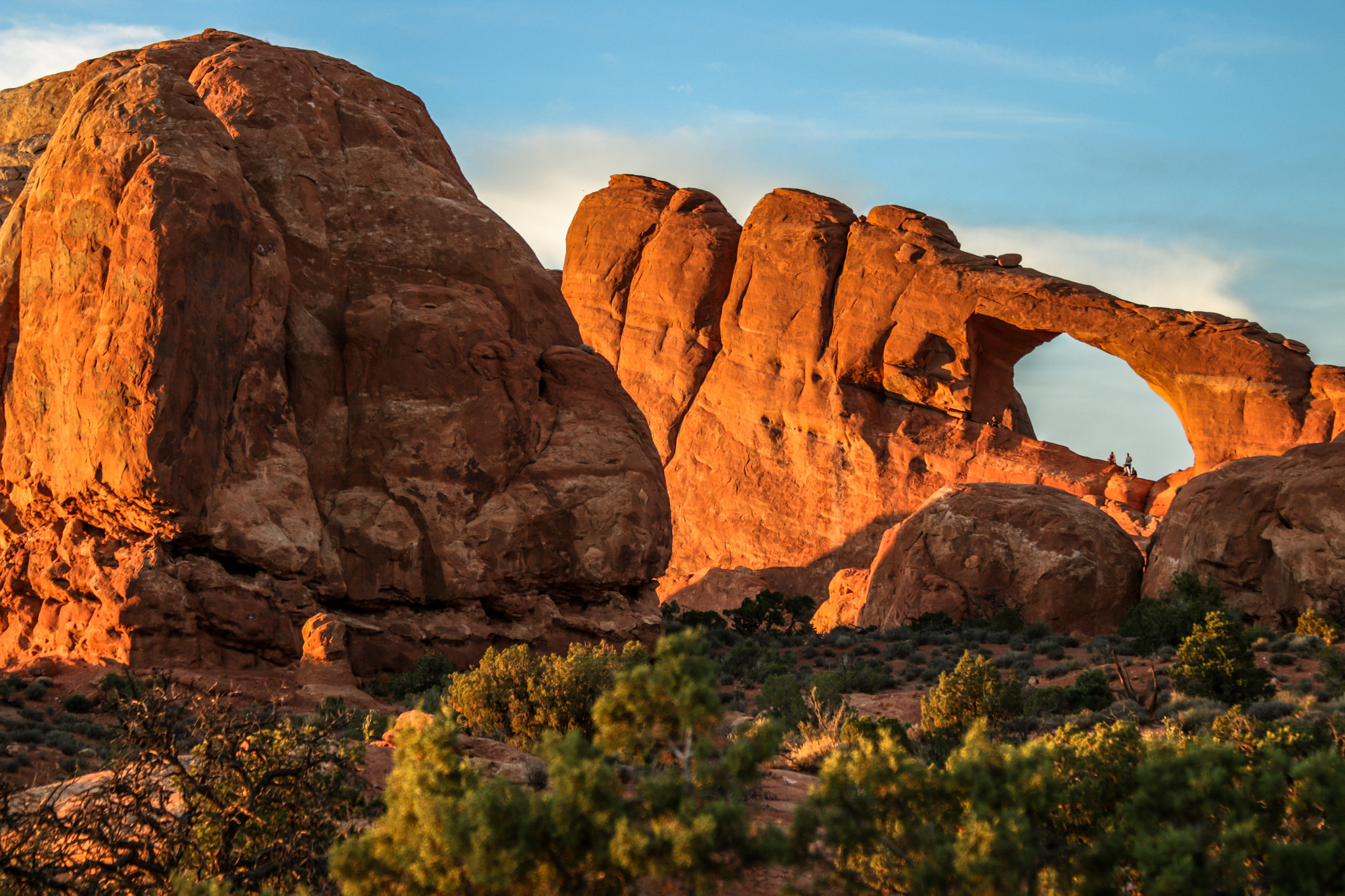 Skyline Arch TrailHikingPhoto: NPS/ Kait Thomas0.8 mi
 Broken Arch TrailHikingPhoto: Fredlyfish4, CC BY-SA 4.0 (via Wikimedia Commons)1.2 mi
 The Marching MenRock climbingPhoto: James St. John, CC BY 2.0 (via Wikimedia Commons)4.8 mi
 Arches National ParkRock climbingPhoto: inkknife_2000 (7.5 million views +), CC BY-SA 2.0 (via Wikimedia Commons)7.2 mi
 Sunshine WallRock climbingPhoto: Sandy Horvath-Dori from Grand Junction, CO, USA, CC BY 2.0 (via Wikimedia Commons)8.8 mi
Source: Roamze catalog (indexable pages within 10 miles, PostGIS distance)
Amphitheater PathHiking · Next doorPhoto: Ken Lund from Reno, Nevada, USA, CC BY-SA 2.0 (via Wikimedia Commons)Broken Arch TrailHiking · ~2 min drivePhoto: Fredlyfish4, CC BY-SA 4.0 (via Wikimedia Commons) Broken Arch ConnectorHiking · ~2 min drivePhoto: Sandy Horvath-Dori from Grand Junction, CO, USA, CC BY 2.0 (via Wikimedia Commons)
Also worth it near here
 Skyline ArchNatural arch · ~1 min drivePhoto: Thomas Wolf, www.foto-tw.de, CC BY-SA 3.0 (via Wikimedia Commons)The Marching MenRock climbing · ~8 min drivePhoto: James St. John, CC BY 2.0 (via Wikimedia Commons)
Best months: March–May and September–October. Best months have typical highs of 55–85 °F, lows of 30 °F or warmer (32 °F where the station doesn't record snow), at most one snowy day and no more than 12 wet days.
Jan
39° / 17°
5 wet
Feb
47° / 25°
5 wet
Mar
59° / 32°
4 wet
Apr
67° / 39°
4 wet
May
78° / 48°
4 wet
Jun
90° / 58°
3 wet
Jul
96° / 66°
4 wet
Aug
92° / 63°
5 wet
Sep
83° / 53°
5 wet
Oct
68° / 40°
5 wet
Nov
52° / 27°
4 wet
Dec
39° / 17°
5 wet
Typical high / low (°F) and days with rain or snow, 1991–2020. Measured at Moab Canyonland Ap, UT, 8.8 mi away at 4,561 ft. The station sits about 700 ft lower than this place, so expect it a little cooler here. This station doesn't record snowfall. Source: NOAA NCEI U.S. Climate Normals 1991–2020.
