Site 18 - Host
Campground
Campground · 1.9 mi from the trail
Powerline Trail is a short, easy hike in Wasatch Mountain State Park in Utah, managed by State Park and Recreation. The trail is an out-and-back route of about 2.4 miles, with a total elevation gain of 552 feet. The high point is 6,084 feet, and the low point is 5,695 feet, so the trail is roughly a 550-foot climb up and back. The steepest stretch comes at about 0.83 miles, with a grade of 9 percent. The most comfortable months for a visit are typically June and September. A nearby weather station records typical average highs of 78°F in June and 75°F in September, with July the warmest month at an average of 88°F. Winter is cold, with typical January highs around 36°F and lows near 14°F. The trip takes about an hour. Huber Grove Trail and Epperson Trail are both within about a mile and a half. Rock Creek, a canoeing spot, is about 5.4 miles away, and Albion Basin campground is about 7.4 miles away.
Site 18 - Host
Campground
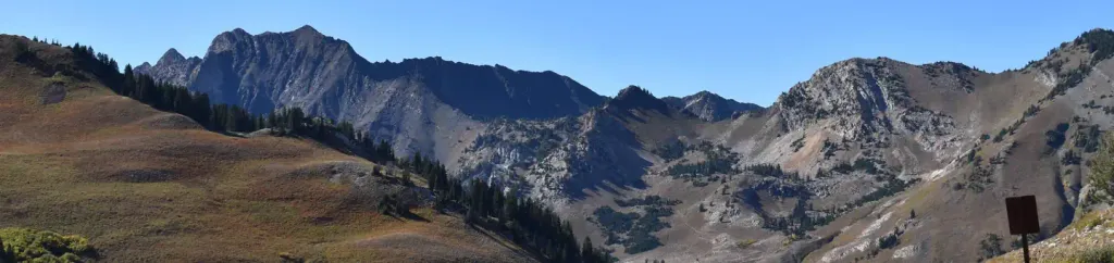
 If it rainsSaalebaer, CC0 · Wikimedia Commons
Park City Museum
Museum
Places © OpenStreetMap contributors, Places © Overture Maps Foundation · Photos: Saalebaer, CC0 (commons)
More in HeberNot on Roamze yet. Their page has how to reach them.
 Albion BasinCampingPhoto: Recreation.gov (RIDB) / public domain7.4 mi
Source: Roamze catalog (indexable pages within 10 miles, PostGIS distance)
Also worth it near here
Best months: May–June and August–September. Best months have typical highs of 55–85 °F, lows of 30 °F or warmer (32 °F where the station doesn't record snow), at most one snowy day and no more than 12 wet days.
Jan
36° / 14°
11 wet
Feb
40° / 15°
10 wet
Mar
49° / 24°
10 wet
Apr
57° / 29°
10 wet
May
66° / 37°
11 wet
Jun
78° / 44°
7 wet
Jul
88° / 47°
5 wet
Aug
85° / 44°
8 wet
Sep
75° / 39°
8 wet
Oct
62° / 31°
9 wet
Nov
46° / 22°
10 wet
Dec
35° / 15°
11 wet
Typical high / low (°F) and days with rain or snow, 1991–2020. Measured at Snake Creek Powerhouse, UT, 2.2 mi away at 6,010 ft. This station doesn't record snowfall. Source: NOAA NCEI U.S. Climate Normals 1991–2020.
Map and trail data © OpenStreetMap contributors
