River Bend Campground
Campground
Campground · < 0.1 mi from the trail
No closures listed
The Forest Service lists no closures for Manti-La Sal National Forest.
As of · Source: USFS · Manti-La Sal National Forest. Agencies don't list every closure — check before you go.
River Bend Campground is a primitive campsite in Huntington Canyon, on the Huntington Canyon National Scenic Byway along Utah Highway 31 in the Price Ranger District of Manti-La Sal National Forest in southeast Utah. It sits at about 7,100 feet, shaded alongside Huntington Creek. The Forest Service manages the land. The site has a double site that can hold 12 people, a graveled parking spur, a picnic table and a fire ring. There is no water or vault toilet on site, but a restroom is available at Little Bear Campground, about a mile north. Summer is the most comfortable time to visit. Typical July highs reach about 74°F with lows near 41°F, according to averages from a nearby weather station at Electric Lake, and July and August see the fewest wet days of the year. Winters there are cold, with January highs around 27°F. Overnight use costs $5 per night for a single site. The closest town is about 30 miles away, but the route is short enough for the most practical way to get here. Nearby, Lower Little Bear Campground is about 0.3 miles away and Little Bear Group about 0.6 miles. The Huntington Canyon Bouldering climbing area is roughly 1.4 miles off, and the Little Bear Ridge Trail is about 1.8 miles away.
River Bend Campground
Campground
Sub Zero
Restaurant
 If it rainsGranary arts, CC BY-SA 4.0 · Wikimedia Commons
Granary Arts
Museum
Places © OpenStreetMap contributors · Photos: Granary arts, CC BY-SA 4.0 (commons)
More in Mount PleasantNot on Roamze yet. Their page has how to reach them.
 Little Bear GroupCampingPhoto: Recreation.gov (RIDB) / public domain0.6 mi
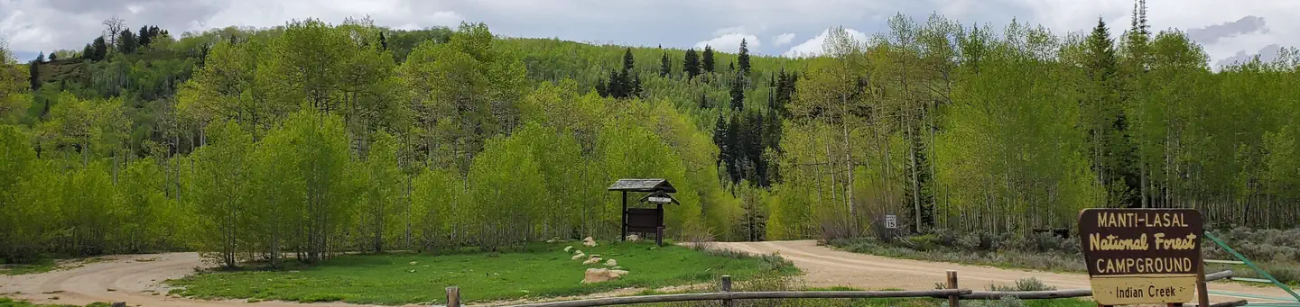 Indian CreekRiver fishing5.5 mi
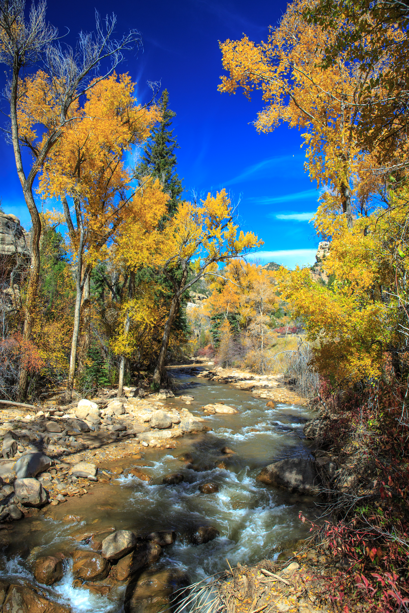 Huntington CreekCanoeingPhoto: Murray Foubister, CC BY-SA 2.0 (via Wikimedia Commons)9.1 mi
Source: Roamze catalog (indexable pages within 10 miles, PostGIS distance)
Also worth it near here
Huntington CreekCanoeing · ~16 min drivePhoto: Murray Foubister, CC BY-SA 2.0 (via Wikimedia Commons) Western Washing Machine BoulderRock climbing · ~16 min drivePhoto: Holly Mandarich hollymandarich, CC0 (via Wikimedia Commons)
Best months: June–September. Best months have typical highs of 55–85 °F, lows of 30 °F or warmer (32 °F where the station doesn't record snow), at most one snowy day and no more than 12 wet days.
Jan
27° / 4°
12 wet
Feb
30° / 3°
11 wet
Mar
38° / 10°
10 wet
Apr
43° / 18°
11 wet
May
55° / 27°
9 wet
Jun
66° / 35°
6 wet
Jul
74° / 41°
5 wet
Aug
72° / 40°
8 wet
Sep
63° / 32°
7 wet
Oct
48° / 22°
8 wet
Nov
35° / 15°
10 wet
Dec
25° / 2°
10 wet
Typical high / low (°F) and days with rain or snow, 1991–2020. Measured at Electric Lake, UT, 11.8 mi away at 8,380 ft. The station sits about 1,300 ft higher than this place, so expect it a little warmer here. This station doesn't record snowfall. Source: NOAA NCEI U.S. Climate Normals 1991–2020.
