Campsite 2
Campground
Campground · 2.1 mi from the trail
Closure in the area
There's a closure order in Zion National Park. It doesn't name Kayenta Trail, so check the source for the area it covers (2 listed).
Narrows are Closed.
Park closure covering Zion National Park · NPS · Zion National Park
Watchman Trail closed
Park closure covering Zion National Park · NPS · Zion National Park
Toxic cyanobacteria in rivers, streams, and pools
Park alert covering Zion National Park · NPS · Zion National Park
Large vehicle restrictions on Zion-Mt. Carmel Highway
Park alert covering Zion National Park · NPS · Zion National Park
As of · Source: NPS · Zion National Park. Agencies don't list every closure — check before you go.
Kayenta Trail is a short, easy hike in Zion National Park in Utah, managed by the National Park Service. The route is an out-and-back of about 1.3 miles, with a low point of 4,318 feet and a high of 4,460 feet, so the one-way climb is about 110 feet. The trail is close to the park's West Rim Trail and The Zion Grotto, both about 0.1 mile away. Spring and fall are the most comfortable times to go. Typical averages from a nearby weather station show April highs around 73°F and October highs around 78°F, while July averages about 100°F and January lows drop to about 30°F. A fee is charged for the hike. The trail is a short outing, so plan on about an hour or less. Watchman Campground is about 4.6 miles away for an overnight stay, and Angel's Landing is about 0.7 mile off for climbers.
Campsite 2
Campground
Red Rock Grill
Restaurant
 If it rainsDon Graham from Redlands, CA, USA - God bless it!, CC BY-SA 2.0 · Wikimedia Commons
Places © OpenStreetMap contributors · Photos: Don Graham from Redlands, CA, USA - God bless it!, CC BY-SA 2.0 (commons)
More in HurricaneNot on Roamze yet. Their page has how to reach them.
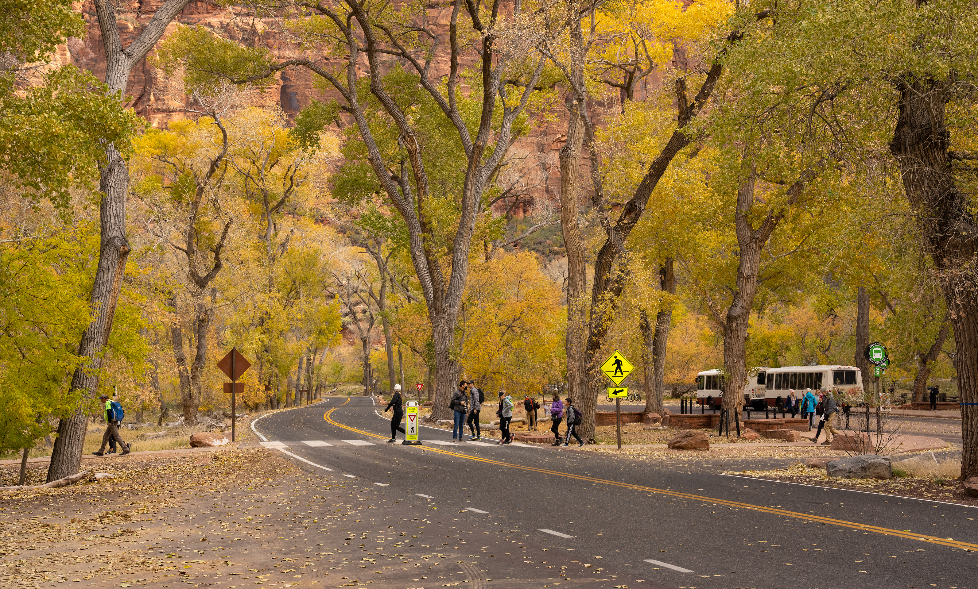 The Zion GrottoHikingPhoto: NPS/Abi Farish0.1 mi
 Red Arch MountainRock climbingPhoto: Don Graham from Redlands, CA, USA - God bless it!, CC BY-SA 2.0 (via Wikimedia Commons)0.3 mi
 Angel's LandingRock climbingPhoto: Pavel Špindler, CC BY 3.0 (via Wikimedia Commons)0.7 mi
 Cerberus GendarmeRock climbingPhoto: Frans-Banja Mulder, CC BY 3.0 (via Wikimedia Commons)1.1 mi
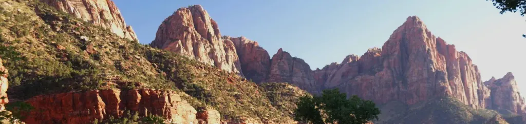 Watchman CampgroundCampingPhoto: Recreation.gov (RIDB) / public domain4.6 mi
Source: Roamze catalog (indexable pages within 10 miles, PostGIS distance)
 The Narrows Day Hike SectionHiking · ~4 min drivePhoto: Frans-Banja Mulder, CC BY 3.0 (via Wikimedia Commons)Riverside WalkHiking · ~4 min drivePhoto: Frans-Banja Mulder, CC BY 3.0 (via Wikimedia Commons)
 Angels Landing TrailHiking · ~2 min drivePhoto: Greg Willis from Denver, CO, usa, CC BY-SA 2.0 (via Wikimedia Commons)
 Many Pools HikeHiking · ~6 min drivePhoto: Ken Lund from Reno, Nevada, USA, CC BY-SA 2.0 (via Wikimedia Commons)
 Hidden Canyon - Closed IndefinitelyHiking · ~2 min drivePhoto: Klaus Eltrop, CC BY-SA 3.0 (via Wikimedia Commons)
Best months: February–May and October–November. Best months have typical highs of 55–85 °F, lows of 30 °F or warmer (32 °F where the station doesn't record snow), at most one snowy day and no more than 12 wet days.
Jan
54° / 30°
7 wet
Feb
58° / 34°
8 wet
Mar
66° / 39°
8 wet
Apr
73° / 44°
6 wet
May
83° / 53°
4 wet
Jun
95° / 62°
3 wet
Jul
100° / 70°
5 wet
Aug
98° / 69°
6 wet
Sep
91° / 61°
5 wet
Oct
78° / 49°
5 wet
Nov
64° / 37°
5 wet
Dec
53° / 29°
6 wet · 1 snow
Typical high / low (°F) and days with rain or snow, 1991–2020. Measured at Zion Np, UT, 3.9 mi away at 4,038 ft. Source: NOAA NCEI U.S. Climate Normals 1991–2020.
Map and trail data © OpenStreetMap contributors
