Pine Valley Guard Station
Campground
The next 6 weekends are full on Recreation.gov
Alert in the area
The Forest Service lists 3 alerts for Dixie National Forest.
Duck Creek OHV Trail Closure
Agency alert covering Dixie National Forest · Order 0407-26-11 · USFS · Dixie National Forest
Pine Valley Ranger District Area and Trail and Road Closure
Agency alert covering Dixie National Forest · Order 0407-26-01 · USFS · Dixie National Forest
Cedar City Temporary Road Closure Webster Flat Road (Order 0407-25-02)
Agency alert covering Dixie National Forest · Order 0407-25-02 · USFS · Dixie National Forest
As of · Source: USFS · Dixie National Forest. Agencies don't list every closure — check before you go.
Mill Canyon Trail is a 4.1-mile moderate hike in the Pine Valley Ranger District of Dixie National Forest in Utah. The trail is an out-and-back, with the round trip covering about 8.2 miles and a total elevation gain of roughly 776 feet. The route starts at about 7,112 feet and climbs to about 8,571 feet at the high point. The trail is close to several other destinations. White Rocks Trail lies about 0.7 miles away, and Cutoff Trail is about 2.3 miles off. Water Canyon Trail, a mountain biking route, is about 2.6 miles away. Pine Valley Guard Station, a campground, is about 5.5 miles from the trail.
Pine Valley Guard Station
Campground
Places © OpenStreetMap contributors
More in HurricaneNot on Roamze yet. Their page has how to reach them.
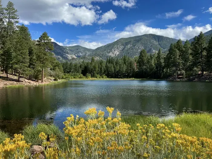 Pine Valley Guard StationCampingPhoto: Recreation.gov (RIDB) / public domain5.5 mi
Source: Roamze catalog (indexable pages within 10 miles, PostGIS distance)
 Comanche TrailHiking · ~12 min drivePhoto: brsolutions, CC BY 3.0 (via Wikimedia Commons)
Map and trail data © OpenStreetMap contributors
