Francis Peak Road
- 4.4 mi
- round trip
- 1,656 ft
- climb
- 9,191 ft
- high point
- Out and back
- route
Caution at last check
Agency alerts are in effect for this area; weather is marginal · USFS, OpenWeather · checked 21 h ago
Is Francis Peak Road open right now?
No closures listed
The Forest Service lists no closures for Uinta-Wasatch-Cache National Forest.
As of · Source: USFS · Uinta-Wasatch-Cache National Forest. Agencies don't list every closure — check before you go.
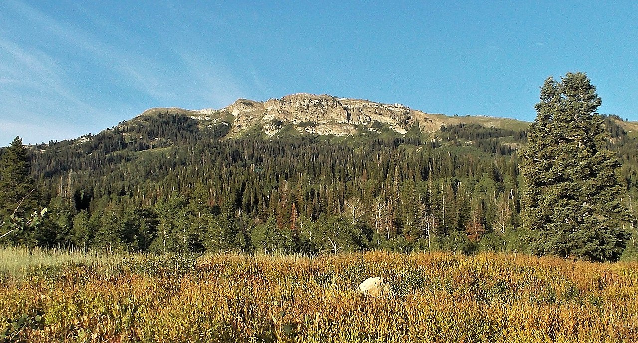
Francis Peak Road is a moderate out-and-back hike in Utah's Uinta-Wasatch-Cache National Forest, within the Salt Lake Ranger District. The route is about 8.8 miles long, with a one-way elevation gain of 1,656 feet, taking you from a low point of 7,234 feet to a high of 9,191 feet on Francis Peak. The Forest Service manages the land, and the trail is close to several other destinations. Deep Creek Trail starts just 0.1 mile away, and Bountiful Peak Campground is about 0.8 mile off. Farmington Flat Road and the Farmington Spine Trail are both roughly 1.9 miles away. For a longer outing, the Farmington Crag climbing area lies about 3.7 miles from the road.
Local outfitters
- Mantua Waterfront RV Resort36 mi away
- Midway Adventure Company37 mi away
Not on Roamze yet. Their page has how to reach them.
Keep exploring — more trails worth the drive
HIKE
Centennial Trail
~3 min drive
Steep 2.4-mile climb with 2,215 ft elevation gain in Utah.
HIKE
G2 Connector Trail
~5 min drive
1.07-mile out-and-back trail in Utah with 422 ft elevation gain.
HIKE
Triumph Trail
~5 min drive
Easy 1.9-mile trail with minimal elevation gain, perfect for beginners.
HIKE
Francis Peak Trail
~5 min drive
Steady Wasatch climb to Francis Peak with excellent summit views.
HIKE
Gold Hill Trail
~4 min drive
4.04-mile out-and-back hike in Utah with 1,427 ft elevation gain and loss.
HIKE
Davis Creek Trail
~6 min drive
1.02-mile out-and-back trail in Utah with 723 ft elevation gain.
HIKE
Wolverine Trail
~5 min drive
Steep 3.6-mile alpine climb with 2,746 ft elevation gain.
HIKE
Steed Creek Trail
~6 min drive
Steep alpine climb with nearly 5,000 ft gain in 3.45 miles.
HIKE
'03 Fire Trail
~6 min drive
Short, easy fire road trail with minimal elevation gain.
HIKE
G2 Connector Trail
~6 min drive
0.75-mile out-and-back trail in Utah with 382 ft elevation gain.

Map and trail data © OpenStreetMap contributors
