Canyon Wren Group Campsite
Campground
Campground · 4.7 mi from the trail
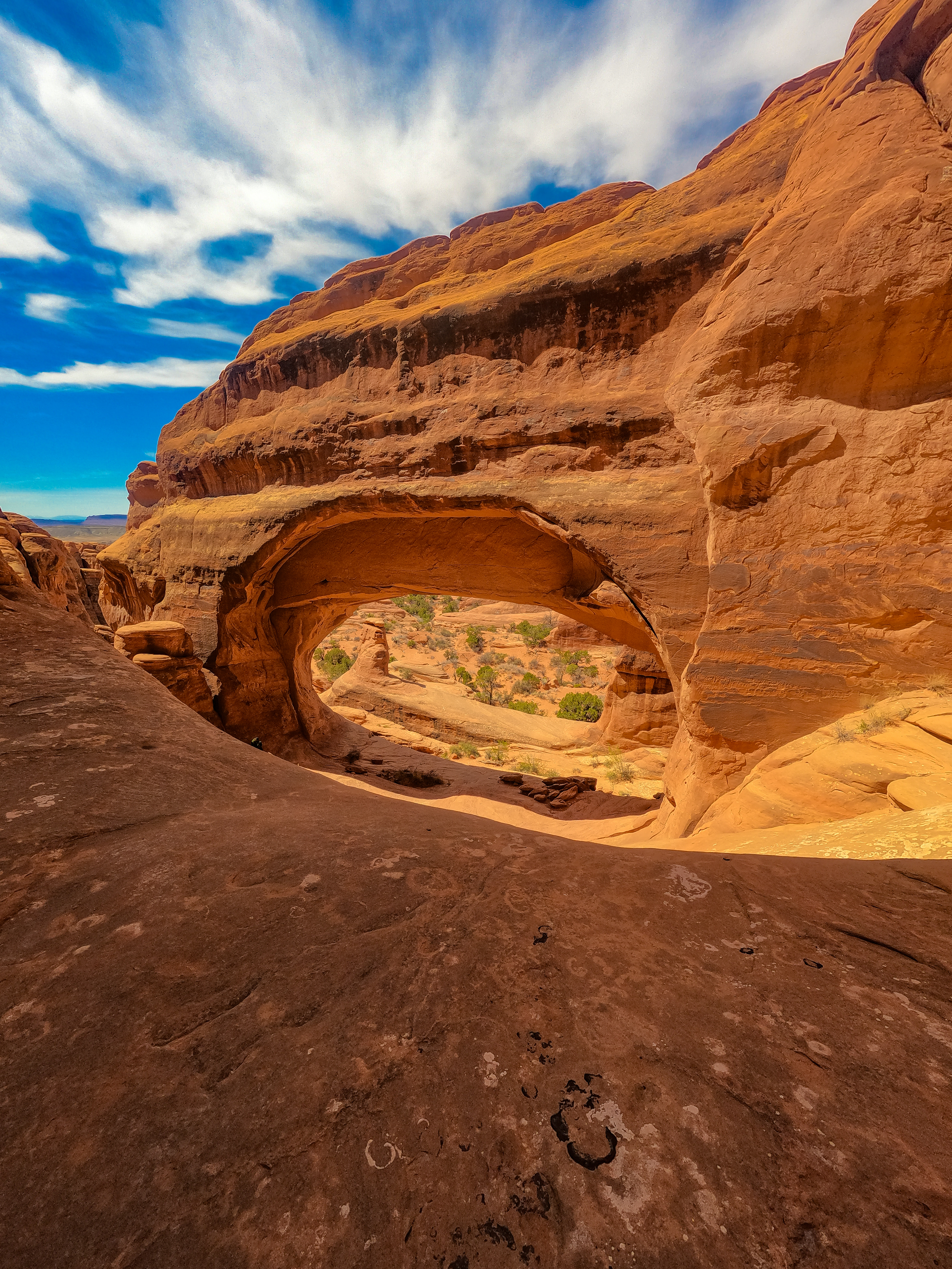 Photo: NPS/Paul Stolen
No closures listed
The National Park Service lists no closures for Arches National Park.
As of · Source: NPS · Arches National Park. Agencies don't list every closure — check before you go.
On the park's quieter side, this trail climbs up a rock wall, cuts across a valley, and then meanders through sandstone fins and sand dunes. Reaching this trailhead requires driving 8 mi (14 km) on unpaved roads. • Roundtrip Distance: 2.6 mi (4.2 km) • Time: 2-3 hours • Elevation Change: 290 ft (89 m) • Difficulty: Strenuous • Hike Description: This trail climbs up a steep rock wall, cuts across a valley, and then meanders through sandstone fins and sand dunes. Climbing sand dunes can be very difficult. Expect no cellular service and little to no shade on this trail. • Bring: Bring at least 2 quarts (2 L) of water per person. Avoid wearing shoes with open toes, high heels, or slick soles. • Accessibility: Due to the steep climbing and sandy sections, this trail is not accessible to wheelchairs. • Dogs are not allowed on this trail. Service animals are allowed in national parks. What is a service animal? The unpaved, less-developed side of the park offers opportunities for quiet reflection. Before recent decades of dramatically increased visitation, the entire park sat in desert silence most of the time.
Canyon Wren Group Campsite
Campground
Bar M Chuckwagon
Restaurant
Interactive Track Museum
Museum
Places © OpenStreetMap contributors
More in MoabNot on Roamze yet. Their page has how to reach them.
Best months: March–May and September–October. Best months have typical highs of 55–85 °F, lows of 30 °F or warmer (32 °F where the station doesn't record snow), at most one snowy day and no more than 12 wet days.
Jan
39° / 17°
5 wet
Feb
47° / 25°
5 wet
Mar
59° / 32°
4 wet
Apr
67° / 39°
4 wet
May
78° / 48°
4 wet
Jun
90° / 58°
3 wet
Jul
96° / 66°
4 wet
Aug
92° / 63°
5 wet
Sep
83° / 53°
5 wet
Oct
68° / 40°
5 wet
Nov
52° / 27°
4 wet
Dec
39° / 17°
5 wet
Typical high / low (°F) and days with rain or snow, 1991–2020. Measured at Moab Canyonland Ap, UT, 5 mi away at 4,561 ft. The station sits about 500 ft lower than this place, so expect it a little cooler here. This station doesn't record snowfall. Source: NOAA NCEI U.S. Climate Normals 1991–2020.
 Photo: mtnscll — CC BY-SA 2.0 (via Flickr)
Tower Arch
~1 min drive
1.53-mile out-and-back trail with 341 ft gain in Utah.
HIKE
Skyline Arch Trail
~8 min drive
A short, out-and-back hike on well defined trail leads to an arch in a high wall. A gentle, rocky uphill slope at the beginning of the trail continues along a relatively flat path to the base of the arch. Roundtrip Distance: 0.4 mi (0.6 km) Time: 10-20 min Elevation Change…
HIKE
EKG Trail
~4 min drive
8.92-mile out-and-back hike in Utah with 1,565 ft elevation gain/loss.
 Photo: inkknife_2000 (7.5 million views +), CC BY-SA 2.0 (via Wikimedia Commons)
Fallen Officer Trail
~7 min drive
1.28-mile out-and-back trail in Utah with 161 ft elevation gain/loss.
HIKE
Jurassic Trail
~4 min drive
5.8-mile out-and-back hike in Utah with 953 ft elevation gain and loss.
HIKE
Devils Garden Trail
~8 min drive
Devils Garden is located at the northern end of the park, 18 miles (28 km) from the park entrance. Toilets are open year-round. Drinking water is available spring through fall. This trailhead offers a range of hiking experiences, from easy to strenuous. Three options are…
HIKE
Primitive Loop
~5 min drive
3.53-mile out-and-back trail in Utah with 789 ft elevation gain.
 Photo: Ken Lund from Reno, Nevada, USA, CC BY-SA 2.0 (via Wikimedia Commons)
Amphitheater Path
~8 min drive
0.05-mile lollipop trail in Utah with 7 feet of elevation gain.
HIKE
Cedar Mountain Trail
~7 min drive
6.72-mile out-and-back hike in Utah with 1,322 ft gain and 4,958 ft max elevation
HIKE
Klondike Bluffs Trail
~2 min drive
0.82-mile lollipop trail in Utah with 57 ft gain and 118 ft loss.
Also worth it near here


