Cyclone Canyon
 Photo: Jason Hollinger, CC BY 2.0 (via Wikimedia Commons)
- 2.4 mi
- round trip
- 664 ft
- climb
- 4,891 ft
- high point
- Out and back
- route
- Mar–May, Sep–Oct
- best months
Is Cyclone Canyon open right now?
Alert in the area
The National Park Service lists an alert for Canyonlands National Park.
Mineral Bottom and White Rim Road Remain Muddy in Parts, Not Recommended
Park alert covering Canyonlands National Park · NPS · Canyonlands National Park
As of · Source: NPS · Canyonlands National Park. Agencies don't list every closure — check before you go.
Cyclone Canyon is an easy out-and-back hike in Canyonlands National Park in Utah, managed by the National Park Service. The route is about 4.8 miles long, with a total elevation gain of 76 feet, and it starts and ends at nearly the same elevation, around 4,890 feet. The high point of the hike reaches about 4,891 feet, and the steepest stretch comes at about 1.8 miles in, with a grade of about 9 percent. Spring and fall are the most comfortable times to go. Typical averages from a nearby weather station show May highs around 77°F and October highs around 70°F, while July averages about 95°F and January highs sit near 42°F. A fee is charged for the hike. Confluence Overlook is about 0.7 miles away, and Red Lake Canyon and Elephant Hill Trail are both within about 2.3 miles. For an overnight stay, Canyonlands National Park Needles District Campground is about 5.9 miles away.
Local outfitters
- Red Desert RV Park31 mi away
- Spanish Trail RV Park31 mi away
Not on Roamze yet. Their page has how to reach them.
- Confluence OverlookHiking0.7 mi
- Red Lake CanyonHiking2.1 mi
- Elephant Hill TrailHiking2.3 mi
- Elephant Hill RoadHiking2.6 mi
 The Needles DistrictRock climbingPhoto: RuggyBearLA, CC BY 2.0 (via Wikimedia Commons)2.8 mi
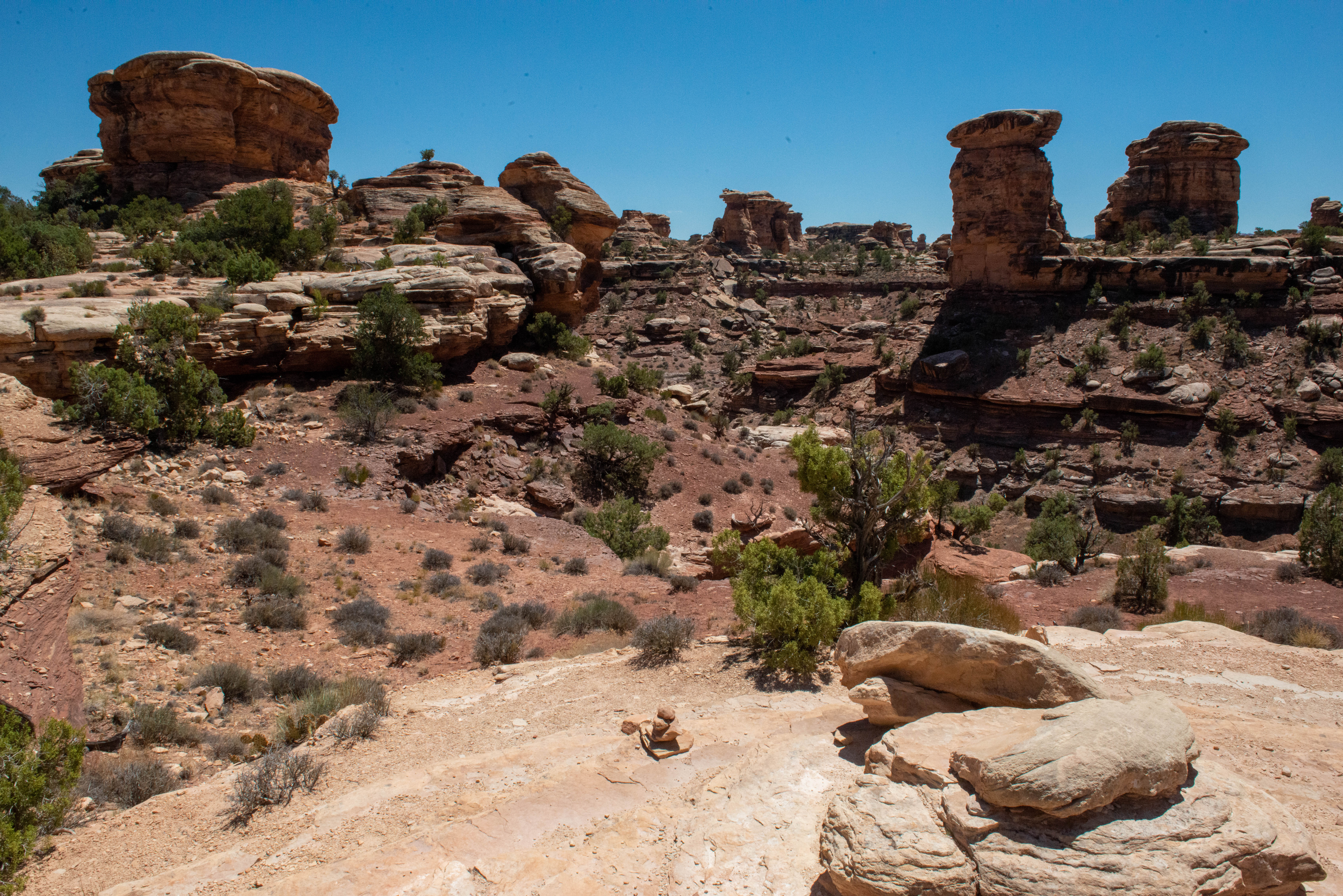 Big Spring Canyon Overlook and TrailheadHikingPhoto: NPS/Veronica Verdin2.8 mi
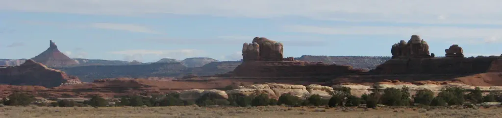 Canyonlands National Park Needles District CampgroundCampingPhoto: Recreation.gov (RIDB) / public domain5.9 mi
 Monument BasinRock climbingPhoto: Peter K., CC BY-SA 3.0 (via Wikimedia Commons)8.5 mi
Source: Roamze catalog (indexable pages within 10 miles, PostGIS distance)
- Big Spring Canyon Overlook and TrailheadHiking · ~5 min drive
- Colorado/Green River OverlookHiking · ~5 min drivePhoto: Jason Hollinger, CC BY 2.0 (via Wikimedia Commons)
- Chesler Park Loop and Joint TrailHiking · ~6 min drive
- Devils KitchenHiking · ~8 min drive
- Petes Mesa Ridge RouteHiking · ~10 min drive
- Slickrock TrailHiking · ~5 min drive
- Chesler Park Viewpoint TrailHiking · ~6 min drive
- Druid Arch TrailHiking · ~6 min drive
- Shot Canyon / Water CanyonHiking · ~10 min drive
- Pothole Point TrailHiking · ~6 min drive
Also worth it near here
- The Needles DistrictRock climbing · ~5 min drivePhoto: RuggyBearLA, CC BY 2.0 (via Wikimedia Commons)
 Beehive ArchNatural arch · ~7 min drivePhoto: CanyonlandsNPS, Public domain (via Wikimedia Commons)
- Lower JumpWaterfall · ~7 min drive
- Canyonlands National Park Needles District CampgroundCamping · ~10 min drive
Best time to visit Cyclone Canyon
Best months: March–May and September–October. Best months have typical highs of 55–85 °F, lows of 30 °F or warmer (32 °F where the station doesn't record snow), at most one snowy day and no more than 12 wet days.
Jan
42° / 17°
4 wet · 2 snow
Feb
49° / 23°
4 wet · 1 snow
Mar
59° / 30°
5 wet · 1 snow
Apr
67° / 36°
5 wet
May
77° / 46°
4 wet
Jun
89° / 56°
3 wet
Jul
95° / 63°
5 wet
Aug
92° / 61°
6 wet
Sep
84° / 51°
5 wet
Oct
70° / 38°
5 wet
Nov
55° / 26°
4 wet · 1 snow
Dec
42° / 18°
4 wet · 2 snow
Typical high / low (°F) and days with rain or snow, 1991–2020. Measured at Canyonlands-The Needles, UT, 5.9 mi away at 4,906 ft. Source: NOAA NCEI U.S. Climate Normals 1991–2020.
