

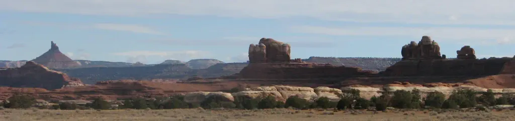
Red Desert RV Park
Hiking business nearby (~29 mi away) — hasn't claimed their Roamze page yet
Free — you'll pick up right here.
Watch this trail
Sign up to watch it — saving subscribes you to gate, closure and report changes.
Utah
397 ft
Gain
We won't guess. Here is exactly what we do and don't know.
What we do know
Inside Canyonlands National Park
National Park unit boundary is mapped — agency alerts for it feed this page automatically.
Boundary data
What's missing
No access route mapped
We don't yet know which road reaches this trailhead, so we can't tell you if it's gated.
Nobody's filed a report here yet — be the first.
Why you'll love it
Slickrock Trail
AI-suggested draft · review before you go
No permit or access details on file for this trail — check with the local land manager before you go.
<p paraeid="{d14d2d0d-a4b0-4790-be11-fb663f41d6ff}{113}" paraid="137460281">Slickrock, a general term for any bare rock surface, dominates much of the landscape in Canyonlands. For millions of years, natural forces have interacted to create the sweeping vistas and landmarks visible along this trail. </p> <ul> <li> <p><strong>Roundtrip Distance</strong>: 2.4 mi (3.9 km)</p> </li> <li> <p><strong>Time</strong>: 1.5 hrs</p> </li> <li> <p><strong>Overall Elevation Change</strong>: 73 ft (22 m)</p> </li> <li> <p><strong>Difficulty</strong>: Moderate/Short</p> </li> <li> <p><strong>Hike Description</strong>: This trail features expansive 360-degree views into Big Spring Canyon and Little Spring Canyon, with the La Sal Mountains and Abajo Mountains in the background. Geology guide available at the Visitor Center or through the <a href="https://www.nps.gov/subjects/digital/nps-apps.htm">NPS App</a>.</p> </li> <li> <p><strong>Accessibility</strong>: This trail can be rough and uneven. It is not accessible to wheelchairs. In winter, there may be snow or icy conditions; we recommend traction devices for hikers.</p> </li> <li> <p><strong>Dogs are not allowed on this trail</strong>. Service animals are allowed in national parks. <a href="https://cms.nps.gov/planyourvisit/service-animals.htm">What is a service animal?</a> </p> </li> </ul>
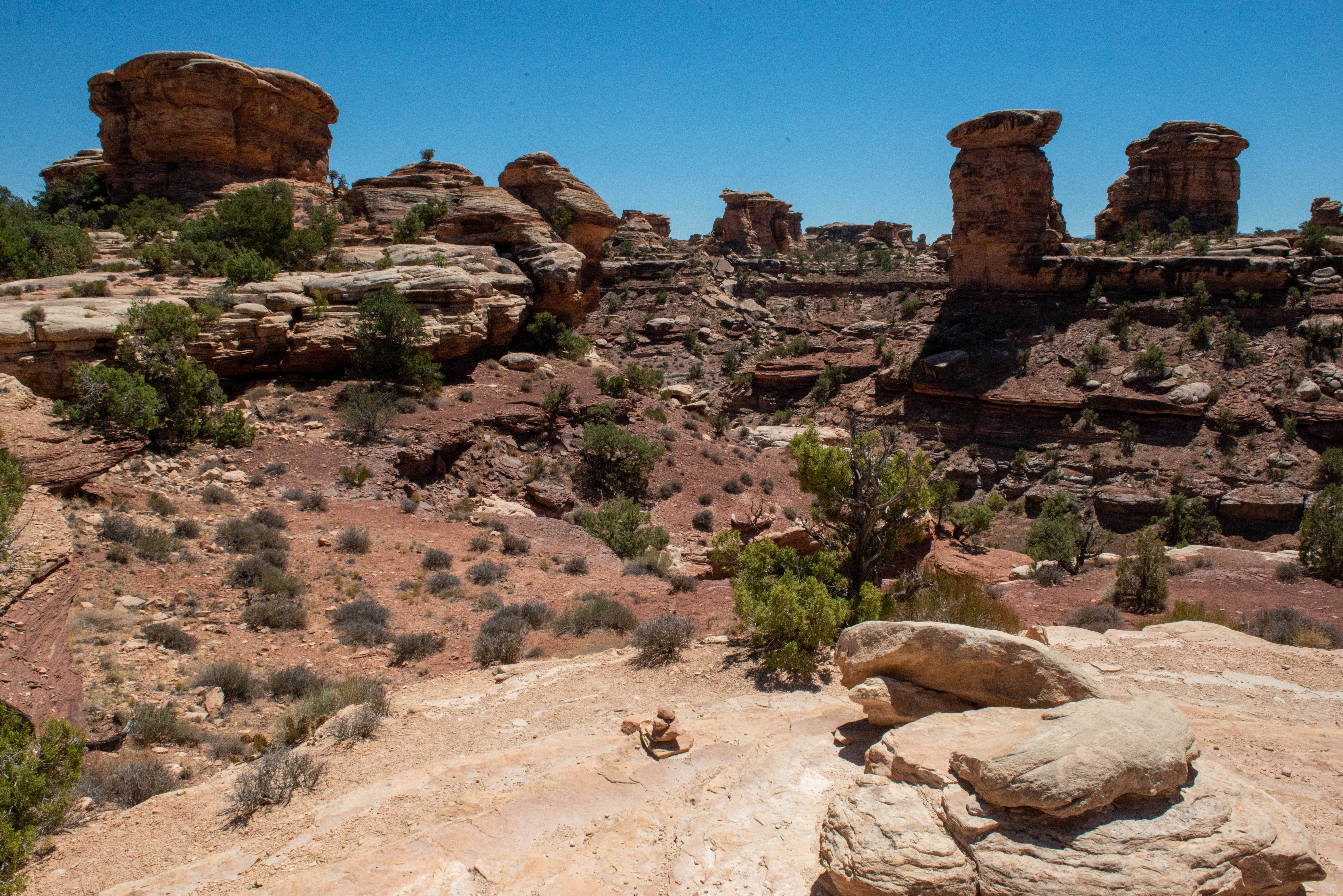
Big Spring Canyon Overlook and Trailhead
~0 min drive
<h4>Overlook</h4> <p>Big Spring rests at the end of the Needles Park Road. From the overlook, unique rock spires and multi-colored sandstone benches line the bend in the canyon. The presence of the spring allows trees and plants to flourish in the spring and summer months.</p>…
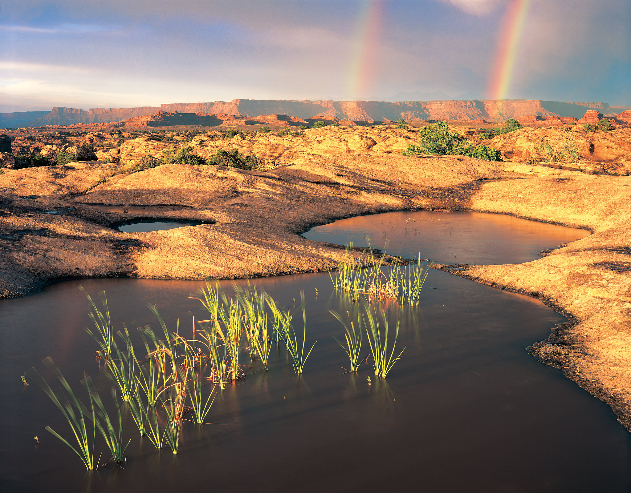
Pothole Point Trail
~1 min drive
<p>This short loop trail (0.6 mi/1 km) crosses sandstone dimpled with pockets called potholes.</p> <ul> <li><strong>Roundtrip Distance</strong>: 0.6 mi (1 km)</li> <li><strong>Time</strong>: 45 min</li> <li><strong>Elevation Change</strong>: 36 ft (11 m)</li> <li><strong>Diffi…

Big Spring Canyon to Elephant Canyon Loop Trail
~4 min drive
<p>This loop features extended hiking on slickrock benches and mesa tops overlooking canyons. Excellent views of sheer cliff walls and other rock formations.</p> <ul role="list"> <li aria-setsize="-1" data-aria-level="5" data-aria-posinset="1" data-font="Courier New" data-le…
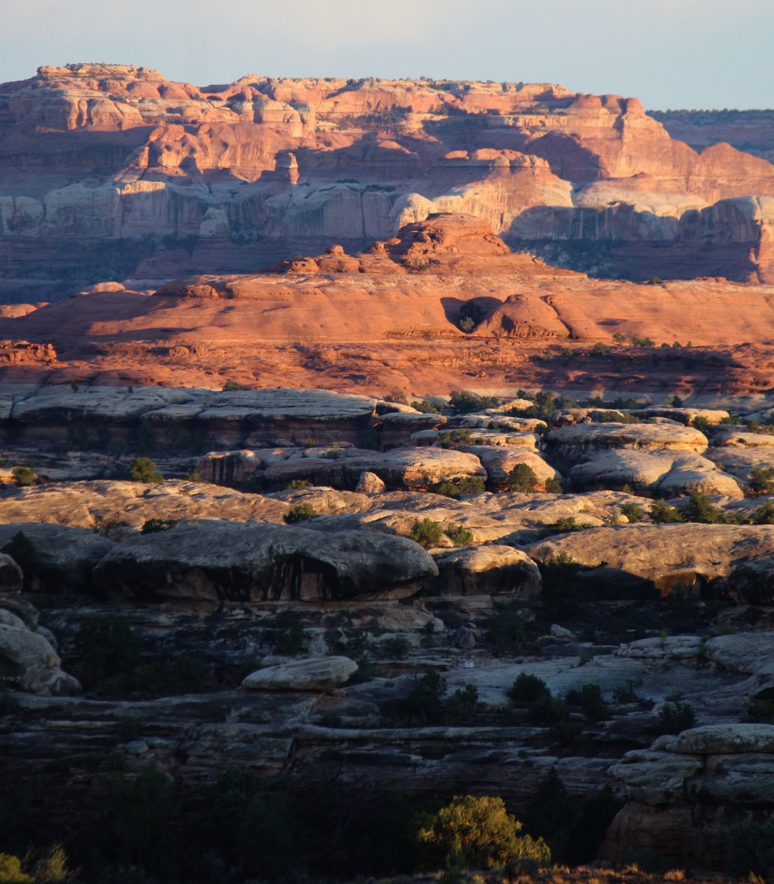
Wooden Shoe Canyon to Lost Canyon Loop Trail
~4 min drive
<p paraeid="{156383aa-4d02-43bf-bbf7-157c741fb3f7}{101}" paraid="216926381">This loop hike is a bit more challenging, with one ladder and some difficult sections of climbing between the two canyons.</p> <ul role="list"> <li aria-setsize="-1" data-aria-level="5" data-aria-posin…
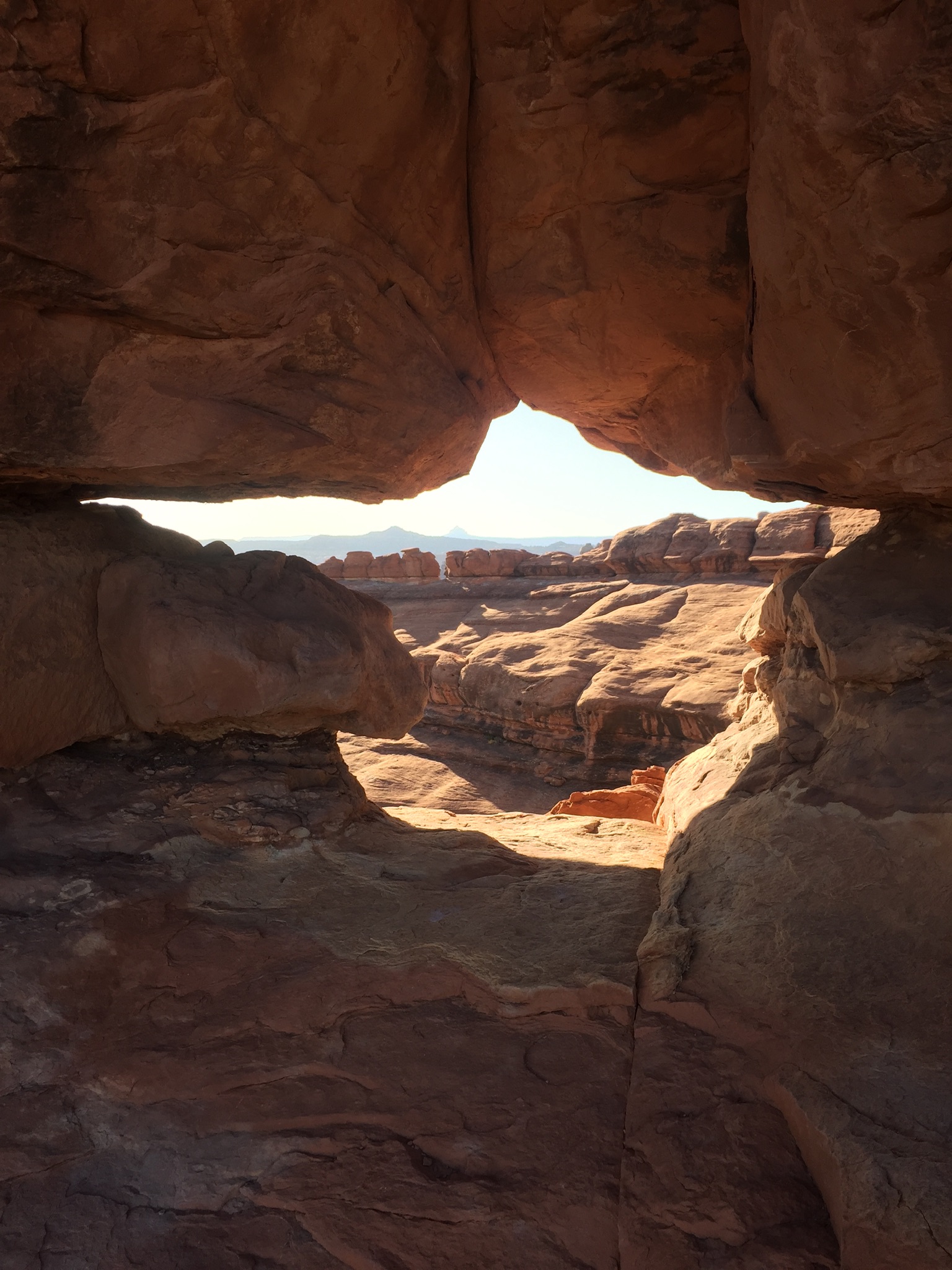
Peekaboo Trail
~4 min drive
<p>This trail crosses both Wooden Shoe and Lost Canyons on its way to Salt Creek Canyon, passing along high slickrock benches with spectacular views.</p> <ul role="list"> <li aria-setsize="-1" data-aria-level="5" data-aria-posinset="3" data-font="Courier New" data-leveltext="o…
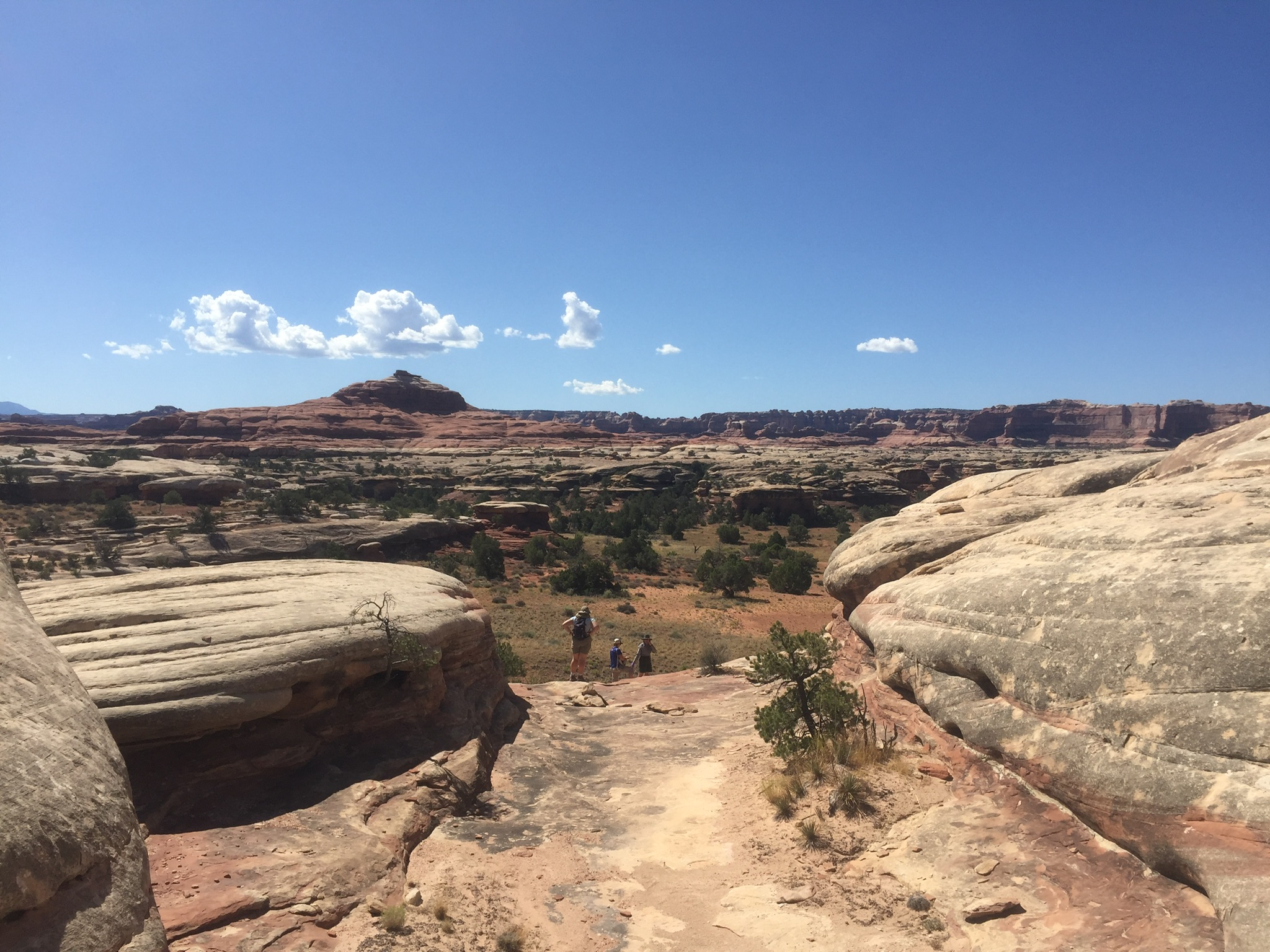
Big Spring Canyon to Wooden Shoe Canyon Loop Trail
~4 min drive
<p paraeid="{156383aa-4d02-43bf-bbf7-157c741fb3f7}{25}" paraid="962957899">A great introduction to the landscape of The Needles, this route connects two canyons for a loop across varied terrain.</p> <ul role="list"> <li><strong>Roundtrip Distance</strong>: 7.5 mi (12 km) </li>…
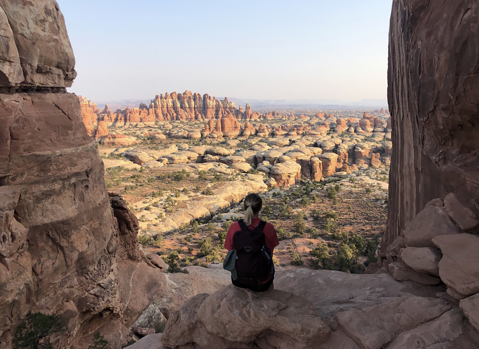
Chesler Park Viewpoint Trail
~4 min drive
<p>Discover stunning views of the sandstone spires that characterize the Needles.</p> <ul> <li><strong>Roundtrip Distance</strong>: 5.8 mi (9.3 km)</li> <li><strong>Time</strong>: 3-4 hrs</li> <li><strong>Overall Elevation Change</strong>: 533 ft (162 m)<br /> <em>Cumulative e…
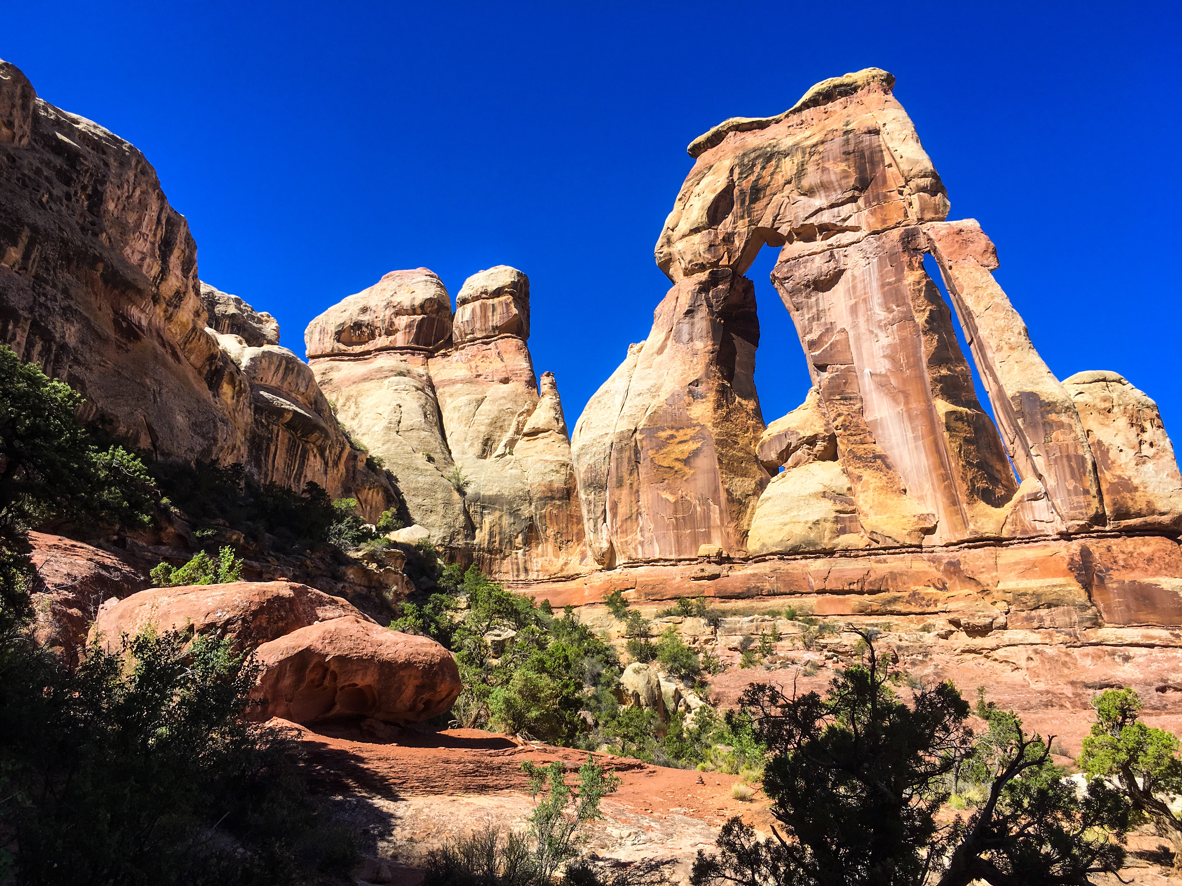
Druid Arch Trail
~4 min drive
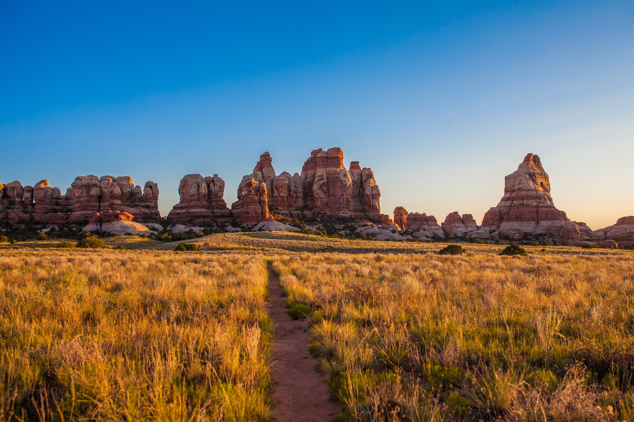
<p>Encounter spectacular rock formations on this unique trail.</p> <ul> <li><strong>Roundtrip Distance</strong>: 10.8 mi (17.4 km)</li> <li><strong>Time</strong>: 5-7 hrs</li> <li><strong>Overall Elevation Change</strong>: 503 ft (153 m)<br /> <em>Cumulative elevation gain on…
Chesler Park Loop and Joint Trail
~4 min drive
<p>This trail provides many great panoramas of the Needles formations. The Joint Trail winds through deep, narrow fractures in the rock. </p> <ul> <li> <p><strong>Roundtrip Distance</strong>: 10.7 mi (17.2 km)</p> </li> <li> <p><strong>Time</strong>: 5-7 hrs</p> </li> <li> <p>…
Canyonlands' Cave Spring Trail
~6 min drive
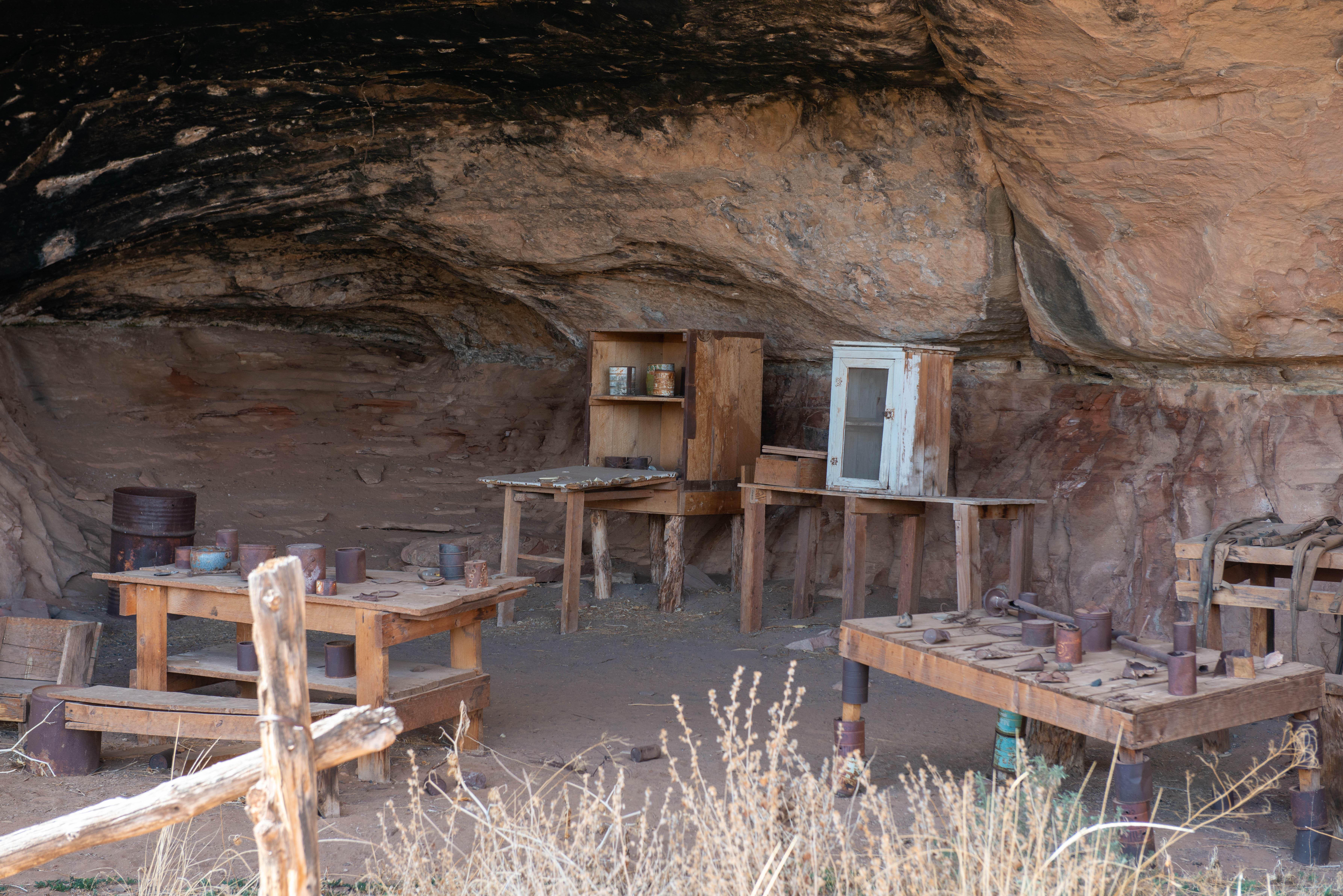
<p>This is the trailhead for a short, 0.6-mile (1 km) loop leading to a historic cowboy camp and prehistoric rock markings. You will climb two ladders to complete the route. </p> <ul> <li><strong>Roundtrip Distance</strong>: 0.6 mi (1 km) Time: 45 min</li> <li><strong>Elevatio…
Local operatorsoffering guided trips. You book directly with them — Roamze doesn’t take a cut.
Red Desert RV Park
Hiking business nearby (~29 mi away) — hasn't claimed their Roamze page yet
Spanish Trail RV Park
Hiking business nearby (~29 mi away) — hasn't claimed their Roamze page yet
Moab Rim Campark
Hiking business nearby (~30 mi away) — hasn't claimed their Roamze page yet