
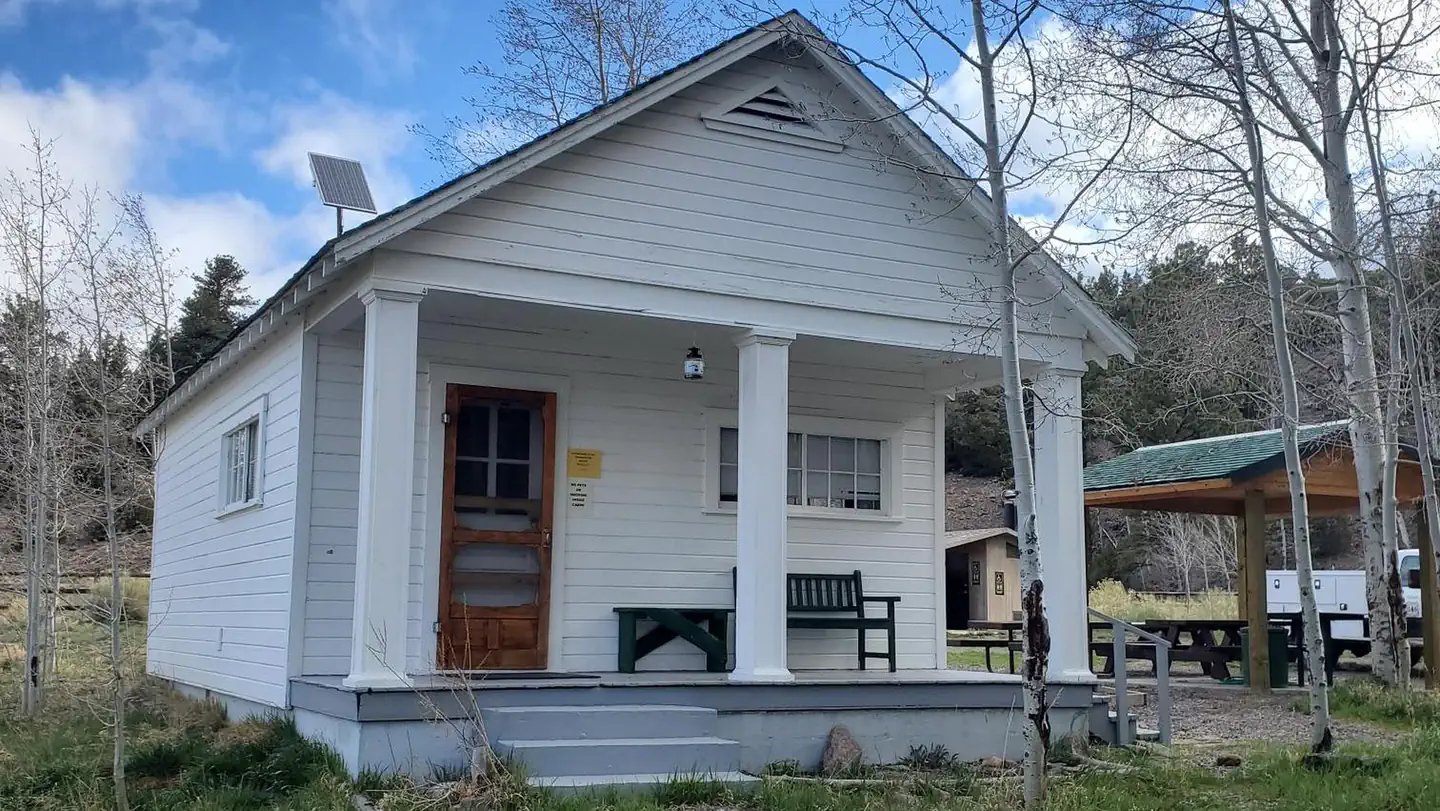


Sand Creek RV Park & Campground
Hiking business nearby (~5 mi away) — hasn't claimed their Roamze page yet
Free — you'll pick up right here.
Watch this trail
Sign up to watch it — saving subscribes you to gate, closure and report changes.
Utah
3.8 mi
Distance
988 ft
Gain
1h 46m
Time
Agency alerts are in effect for this area; weather is good
2 factors · 2 sources
Newest 13 h ago · oldest 3 d
caution: Agency alerts
14 active alerts in Fishlake National Forest; most severe: Beaver Canyon Corridor, SR-153 Road Status
USFS3 d ago
clear: Weather
Clouds, high 59°F / low 59°F, 0% precip — 100/100 for hike
OpenWeather13 h ago
Been out here in the last few days? One report keeps this current for everyone.
Why you'll love it
Bullberry Lake Trail
AI-suggested draft · review before you go
No permit or access details on file for this trail — check with the local land manager before you go.
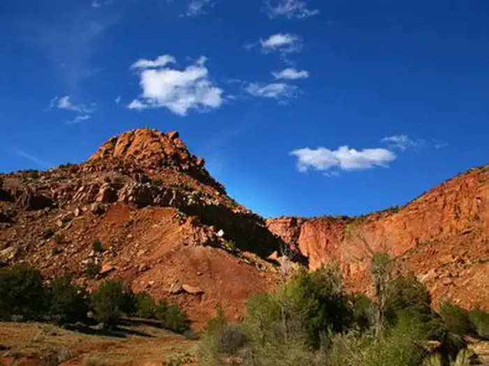
Bullberry Lake Trail is a scenic alpine hike offering stunning views of mountain terrain and pristine lake waters. With nearly 1,000 feet of elevation gain over 3.8 miles, this trail provides a moderate workout while remaining accessible to most hikers. The route showcases the natural beauty of Utah's high country with opportunities to explore subalpine meadows and enjoy peaceful lakeside scenery.
Lost Lake Trail
~1 min drive
Easy 1.5-mile hike to a mountain lake with 535 ft elevation gain.
Birch Creek Trail
~4 min drive
Moderate 6.6-mile creek-side hike with 1,918 ft elevation gain.
Boulder Creek Trail
~4 min drive
Moderate 4-mile canyon hike with 1,471 ft gain and scenic creek views.
Teasdale Road
~7 min drive
Easy 3.1-mile road walk near Teasdale with minimal elevation gain.
Solitare Lake Trail
~6 min drive
Easy 2-mile hike to a scenic alpine lake with minimal elevation gain.
Donkey Meadows Trail
~10 min drive
Scenic 8-mile meadow hike with gentle terrain and open vistas.
Jim Larsen Reservoir Trail
~6 min drive
Moderate 5-mile hike to alpine reservoir with 1,812 ft elevation gain.
River View Drive
~8 min drive
Easy riverside walk with gentle elevation gain and scenic views.
Pine Creek Trail
~9 min drive
Short forest hike with steady elevation gain and scenic views.
Middle Ranger
~11 min drive
Challenging 14-mile Utah trail with 3,179 ft elevation gain.
Local operatorsoffering guided trips. You book directly with them — Roamze doesn’t take a cut.
Sand Creek RV Park & Campground
Hiking business nearby (~5 mi away) — hasn't claimed their Roamze page yet
Escalante Outfitters
Hiking business nearby (~34 mi away) — hasn't claimed their Roamze page yet
Canyons of Escalante RV Park
Hiking business nearby (~34 mi away) — hasn't claimed their Roamze page yet