


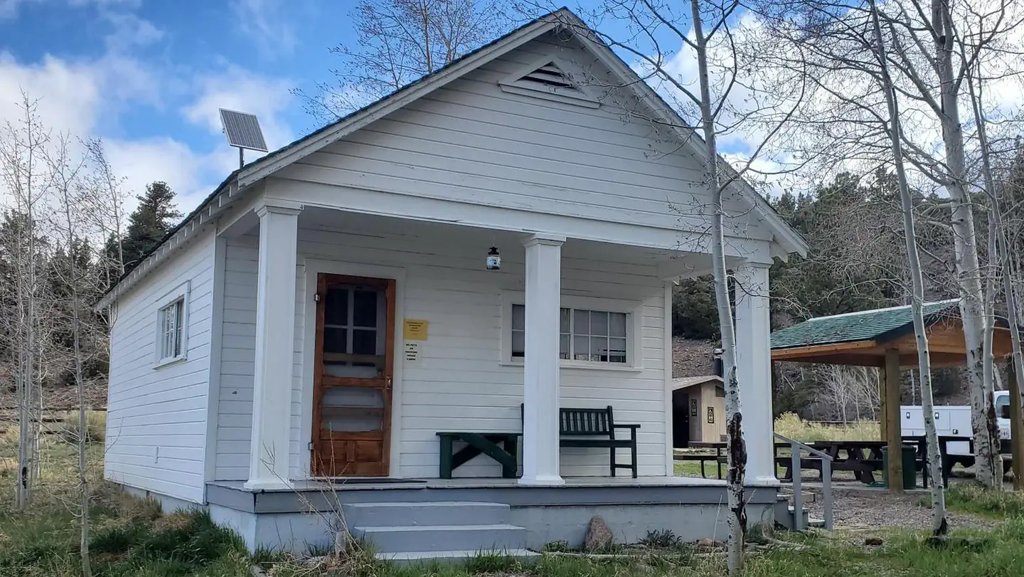
Sand Creek RV Park & Campground
Hiking business nearby (~3 mi away) — hasn't claimed their Roamze page yet
Free — you'll pick up right here.
Watch this trail
Sign up to watch it — saving subscribes you to gate, closure and report changes.
Utah
4.0 mi
Distance
1,471 ft
Gain
2h 4m
Time
No agency boundary, access route or field report is mapped to it — so there is no verdict, and we won't guess. We'll tell you the moment this trail has something to say.
Covered nearby
Trails within 25 miles where we do have a current picture.
Nobody's filed a report here yet — be the first.
Why you'll love it
Boulder Creek Trail
AI-suggested draft · review before you go
No permit or access details on file for this trail — check with the local land manager before you go.
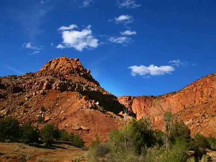
Boulder Creek Trail offers a scenic 4-mile journey through Utah's diverse terrain with nearly 1,500 feet of elevation gain. This moderate hike features the natural beauty of Boulder Creek canyon, with cascading water features and riparian vegetation that create a refreshing escape. The trail provides excellent views of the surrounding landscape and is popular for its accessible yet rewarding climb.
Birch Creek Trail
~1 min drive
Moderate 6.6-mile creek-side hike with 1,918 ft elevation gain.
Teasdale Road
~3 min drive
Easy 3.1-mile road walk near Teasdale with minimal elevation gain.
Jim Larsen Reservoir Trail
~4 min drive
Moderate 5-mile hike to alpine reservoir with 1,812 ft elevation gain.
Lost Lake Trail
~5 min drive
Easy 1.5-mile hike to a mountain lake with 535 ft elevation gain.
Middle Ranger
~11 min drive
Challenging 14-mile Utah trail with 3,179 ft elevation gain.
River View Drive
~3 min drive
Easy riverside walk with gentle elevation gain and scenic views.
Blind Lake Trail
~9 min drive
Scenic 4.37-mile lake hike with 666 ft elevation gain.
Solitare Lake Trail
~8 min drive
Easy 2-mile hike to a scenic alpine lake with minimal elevation gain.
Sand Flat
~12 min drive
Moderate 9.5-mile desert hike with 824 ft elevation gain near Sand Flat.
Sand Creek Road
~4 min drive
Easy, short walk on Sand Creek Road with minimal elevation gain.
Local operatorsoffering guided trips. You book directly with them — Roamze doesn’t take a cut.
Sand Creek RV Park & Campground
Hiking business nearby (~3 mi away) — hasn't claimed their Roamze page yet
Escalante Outfitters
Hiking business nearby (~35 mi away) — hasn't claimed their Roamze page yet
Canyons of Escalante RV Park
Hiking business nearby (~35 mi away) — hasn't claimed their Roamze page yet