South Rim
- 2.0 mi
- round trip
- 1,731 ft
- climb
- 7,353 ft
- high point
- Out and back
- route
Is South Rim open right now?
No closures listed
The National Park Service lists no closures for Big Bend National Park.
As of · Source: NPS · Big Bend National Park. Agencies don't list every closure — check before you go.
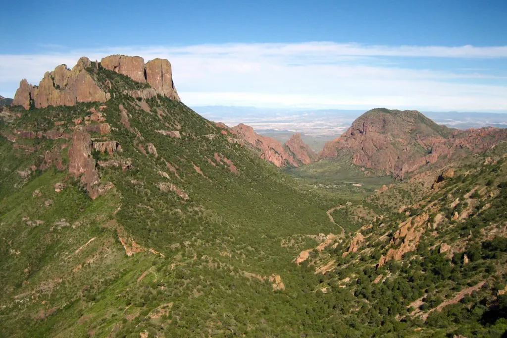
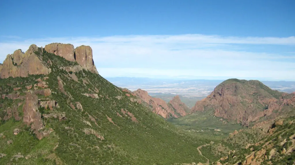
South Rim is a moderate out-and-back hike in Big Bend National Park in Texas, managed by the National Park Service. The trail is about 4 miles long, with a total elevation gain of 376 feet. The climb starts at 7,254 feet and reaches a high point of 7,353 feet, and the steepest stretch comes about 0.3 miles into the hike, where the grade reaches 42 percent. A fee is charged for the hike, as noted in National Park Service records. Plan about 4 miles for the round trip. The trail is a short walk from several other routes in the park, so it works well as part of a longer day on foot. East Rim and Boot Canyon are each about 0.6 miles away, and Juniper Canyon is about 0.9 miles off. For an overnight stay, Chisos Basin Campground (Big Bend, TX) is about 3.2 miles away.
- East RimHiking0.6 mi
- Boot CanyonHiking0.6 mi
- Juniper CanyonHiking0.9 mi
- ColimaHiking1 mi
- Blue CreekHiking1.3 mi
- Laguna Meadows SpurHiking1.5 mi
 Chisos Basin Group Campground (Big Bend, TX)CampingPhoto: Recreation.gov (RIDB) / public domain3.2 mi
 Chisos Basin Campground (Big Bend, TX)CampingPhoto: Recreation.gov (RIDB) / public domain3.2 mi
Source: Roamze catalog (indexable pages within 10 miles, PostGIS distance)
 Dorgan-Sublett TrailHiking · ~31 min drivePhoto: Fredlyfish4, CC BY-SA 3.0 (via Wikimedia Commons)
- East RimHiking · Next door
- Juniper CanyonHiking · ~1 min drive
- Laguna MeadowsHiking · ~3 min drive
- Mariscal Rim TrailHiking · ~31 min drive
- ColimaHiking · ~2 min drive
- Boot CanyonHiking · Next door
- Blue CreekHiking · ~2 min drive
- DodsonHiking · ~4 min drive
- Laguna Meadows SpurHiking · ~3 min drive

