Juniper Canyon
- 6.7 mi
- round trip
- 6,658 ft
- climb
- 7,087 ft
- high point
- Out and back
- route
Is Juniper Canyon open right now?
No closures listed
The National Park Service lists no closures for Big Bend National Park.
As of · Source: NPS · Big Bend National Park. Agencies don't list every closure — check before you go.
Juniper Canyon is a rugged out-and-back hike in Big Bend National Park, managed by the National Park Service in Texas. The route spans about 13.4 miles and rises from roughly 6,889 feet to a high point of 7,087 feet, with a total elevation gain and loss of about 6,658 feet over the course of the trip. It's an expert-level climb, and the steepest stretch comes early, around the 0.9-mile mark, where the grade reaches 32 percent. The hike starts and ends at the same elevation, and with a one-way climb of about 3,085 feet, it's a serious commitment. The National Park Service charges a fee for the visit, and the trip takes about eight hours to complete. The trail is close to several other destinations. Colima and Boot Canyon are each within about half a mile, and Emory Peak is under a mile away. For camping, Chisos Basin Group Campground (Big Bend, TX) is about 2.4 miles off.
- ColimaHiking0.2 mi
- Boot CanyonHiking0.4 mi
- East RimHiking0.4 mi
- Emory PeakHiking0.8 mi
- Blue CreekHiking0.9 mi
- South RimHiking0.9 mi
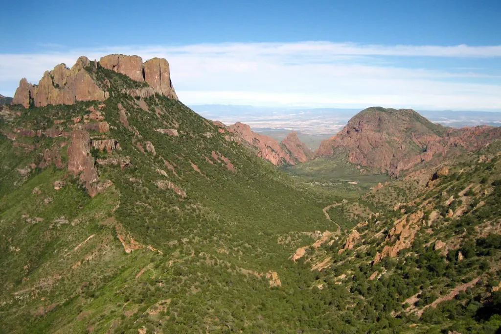 Chisos Basin Group Campground (Big Bend, TX)CampingPhoto: Recreation.gov (RIDB) / public domain2.4 mi
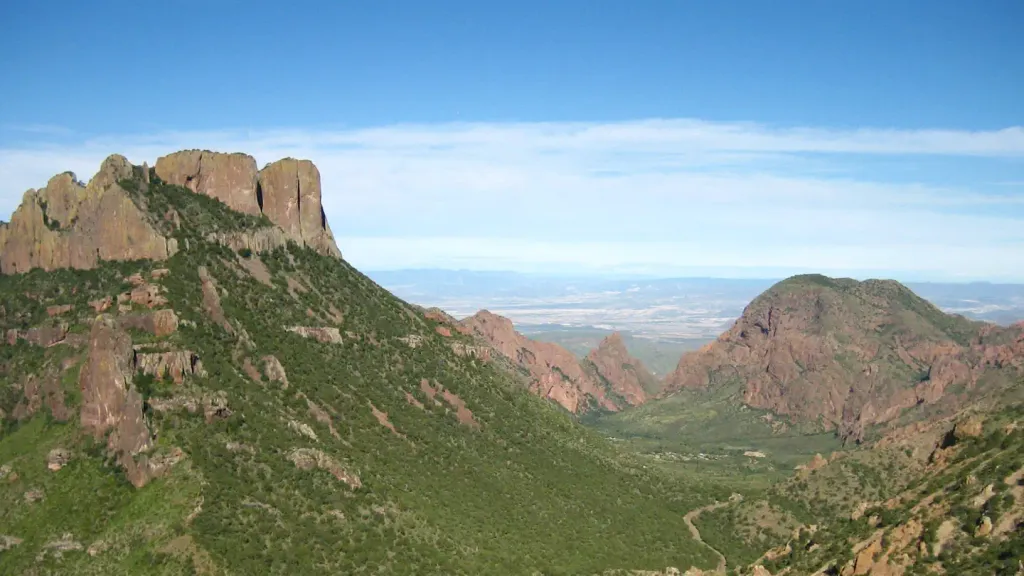 Chisos Basin Campground (Big Bend, TX)CampingPhoto: Recreation.gov (RIDB) / public domain2.4 mi
Source: Roamze catalog (indexable pages within 10 miles, PostGIS distance)
 Dorgan-Sublett TrailHiking · ~31 min drivePhoto: Fredlyfish4, CC BY-SA 3.0 (via Wikimedia Commons)
- Boot CanyonHiking · Next door
- Blue CreekHiking · ~1 min drive
- Laguna MeadowsHiking · ~2 min drive
- Mariscal Rim TrailHiking · ~32 min drive
- ColimaHiking · Next door
- East RimHiking · Next door
- Telephone CanyonHiking · ~30 min drive
- DodsonHiking · ~5 min drive
- Laguna Meadows SpurHiking · ~2 min drive

