Colima
- 0.9 mi
- round trip
- 694 ft
- climb
- 7,183 ft
- high point
- Out and back
- route
Is Colima open right now?
No closures listed
The National Park Service lists no closures for Big Bend National Park.
As of · Source: NPS · Big Bend National Park. Agencies don't list every closure — check before you go.
Colima is a short, easy hike in Big Bend National Park in Texas, managed by the National Park Service. The route is an out-and-back about 1.8 miles long, with a total climb of 694 feet. It starts at roughly 6,897 feet and reaches a high point of about 7,183 feet. The steepest part comes within the first third of the route, where the grade reaches about 28 percent, so plan for a brief stretch of uphill before the path eases back down. The hike is close to several other trails. Juniper Canyon lies about 0.2 miles away, and Boot Canyon and East Rim are each about 0.5 miles off. Emory Peak is about 0.6 miles away, and the Chisos Basin Campground (Big Bend, TX) is about 2.2 miles away for anyone planning to stay overnight.
- Juniper CanyonHiking0.2 mi
- Boot CanyonHiking0.5 mi
- East RimHiking0.5 mi
- Emory PeakHiking0.6 mi
- PinnaclesHiking0.7 mi
- Blue CreekHiking0.9 mi
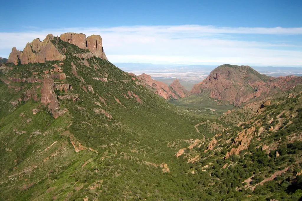 Chisos Basin Group Campground (Big Bend, TX)CampingPhoto: Recreation.gov (RIDB) / public domain2.2 mi
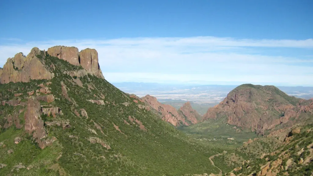 Chisos Basin Campground (Big Bend, TX)CampingPhoto: Recreation.gov (RIDB) / public domain2.2 mi
Source: Roamze catalog (indexable pages within 10 miles, PostGIS distance)
 Dorgan-Sublett TrailHiking · ~31 min drivePhoto: Fredlyfish4, CC BY-SA 3.0 (via Wikimedia Commons)
- Juniper CanyonHiking · Next door
- Boot CanyonHiking · Next door
- Laguna MeadowsHiking · ~2 min drive
- Mariscal Rim TrailHiking · ~32 min drive
- Laguna Meadows SpurHiking · ~2 min drive
- Blue CreekHiking · ~1 min drive
- East RimHiking · Next door
- DodsonHiking · ~6 min drive
- Basin Loop-PinnaclesHiking · ~3 min drive

