Boot Canyon 4
- Jul–May
- best months
Is Boot Canyon 4 open right now?
No closures listed
The National Park Service lists no closures for Big Bend National Park.
As of · Source: NPS · Big Bend National Park. Agencies don't list every closure — check before you go.
- At 6,710 ft
- Big Bend National Park
Boot Canyon 4 is a campground in Texas at about 6,710 feet. It is managed by the National Park Service.
- ColimaHiking0.3 mi
- Emory PeakHiking0.4 mi
- Southeast Rim KeyholeNatural arch1.1 mi
 Casa Grande PeakSummitPhoto: Fredlyfish4, CC BY-SA 3.0 (via Wikimedia Commons)1.5 mi
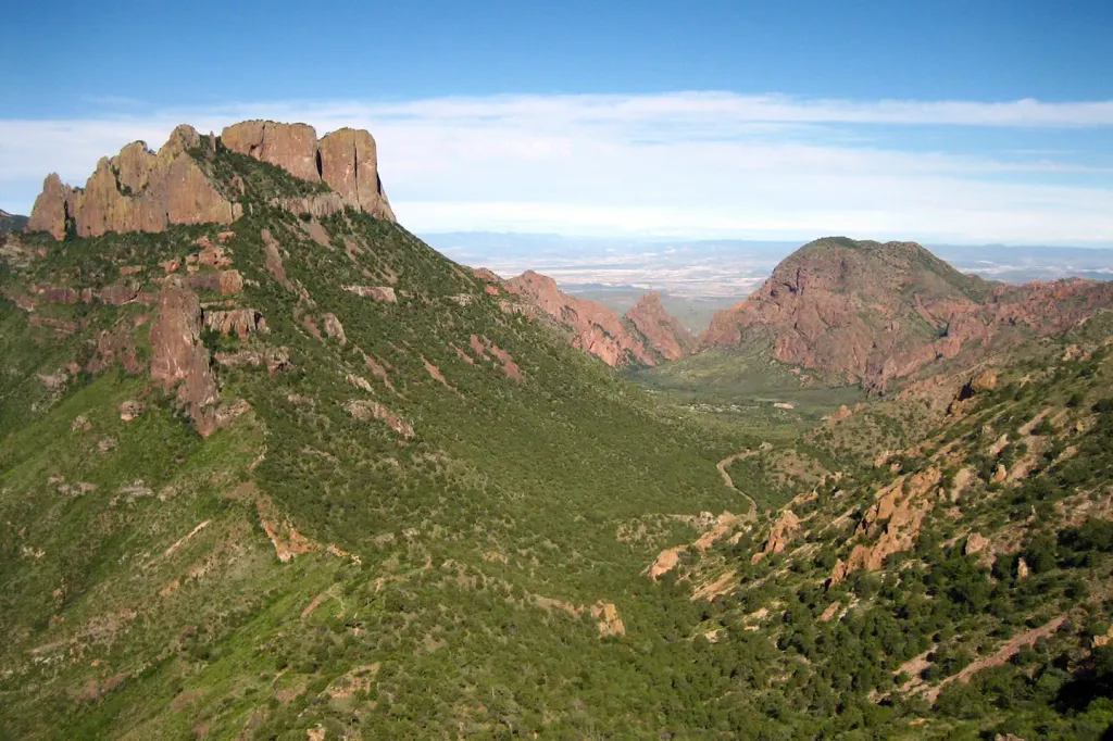 Chisos Basin Group Campground (Big Bend, TX)CampingPhoto: Recreation.gov (RIDB) / public domain2.1 mi
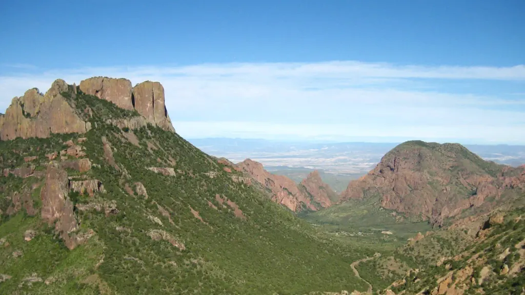 Chisos Basin Campground (Big Bend, TX)CampingPhoto: Recreation.gov (RIDB) / public domain2.1 mi
 Lost Mine PeakSummitPhoto: Yinan Chen, Public Domain (via Wikimedia Commons)3 mi
- Cattail FallsWaterfall3.1 mi
Source: Roamze catalog (indexable pages within 10 miles, PostGIS distance)
- Boot Canyon 3Camping · Next door
- Boot Canyon 2Camping · Next door
- Boot Canyon 1Camping · Next door
- Juniper Canyon 1Camping · Next door
- Colima 1Camping · Next door
- Colima 2Camping · Next door
- Toll Mountain 1Camping · Next door
- Pinnacles 1Camping · Next door
- Colima 3Camping · Next door
- Pinnacles 2Camping · ~1 min drive
Best time to visit Boot Canyon 4
Best months: July–May. Best months have typical highs of 55–85 °F, lows of 30 °F or warmer (32 °F where the station doesn't record snow), at most one snowy day and no more than 12 wet days.
Jan
58° / 38°
3 wet
Feb
63° / 41°
3 wet
Mar
69° / 46°
3 wet
Apr
76° / 52°
3 wet
May
83° / 60°
5 wet
Jun
87° / 65°
7 wet
Jul
85° / 65°
9 wet
Aug
84° / 65°
9 wet
Sep
79° / 60°
7 wet
Oct
74° / 53°
5 wet
Nov
65° / 45°
4 wet
Dec
59° / 39°
3 wet
Typical high / low (°F) and days with rain or snow, 1991–2020. Measured at Chisos Basin, TX, 1.7 mi away at 5,300 ft. The station sits about 1,400 ft lower than this place, so expect it a little cooler here. This station doesn't record snowfall. Source: NOAA NCEI U.S. Climate Normals 1991–2020.

Facts about this campground
Map and trail data © OpenStreetMap contributors
