North Indian Creek Campground
Campground
Campground · 2.6 mi from the trail
Closure in the area
There's a closure order in Cherokee National Forest. It doesn't name Stamping Ground Ridge Trail, so check the source for the area it covers (2 listed).
Ocoee River Flooding Damage - Nov 5
Agency closure covering Cherokee National Forest · USFS · Cherokee National Forest
Campsite limitations
Agency closure covering Cherokee National Forest · Order 08-04-00-22-180 · USFS · Cherokee National Forest
Emergency road closures due to storm damage
Agency alert covering Cherokee National Forest · USFS · Cherokee National Forest
As of · Source: USFS · Cherokee National Forest. Agencies don't list every closure — check before you go.
Stamping Ground Ridge Trail is a hard, 8.2-mile out-and-back route in the Unaka Ranger District of Cherokee National Forest in Tennessee, managed by the Forest Service. It starts at an elevation of about 2,650 feet and climbs to a high point of 4,745 feet, with a total gain of 3,062 feet over the course of the trip. The climb is front-loaded, with the steepest stretch at about 1.9 miles, where the grade reaches 32%. The trip takes about 4.5 hours. Summer is the most comfortable time to go. Typical averages from the Beech Mtn, NC weather station, about 22 miles away and at a similar elevation, put July highs near 69°F with lows around 57°F. Snow days are common from December through March. Several other trails lie close by. Limestone Cove Trail is about 1.5 miles away, and Stamping Ground Horse Trail and Dick Creek Horse Trail are within about 2.6 miles. For an overnight stay, Rock Creek Recreation Area is about 5 miles off.
North Indian Creek Campground
Campground
mica Art Gallery
Gallery
Places © OpenStreetMap contributors
More in Spruce PineNot on Roamze yet. Their page has how to reach them.
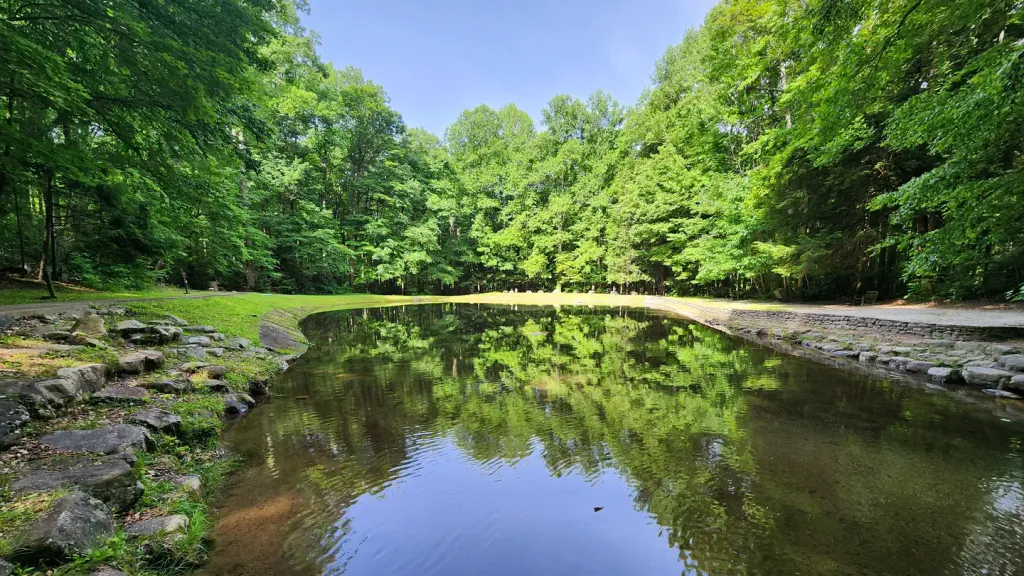 Rock Creek Recreation Area (Cherokee National Forest, TN)CampingPhoto: Recreation.gov (RIDB) / public domain5 mi
Source: Roamze catalog (indexable pages within 10 miles, PostGIS distance)
 HACK LINE TRAILHiking · ~17 min drivePhoto: Dallas Krentzel, CC BY 2.0 (via Flickr)
 CloudlandHiking · ~15 min drivePhoto: vastateparksstaff, CC BY 2.0 (via Flickr)
Best months: September–October. Best months have typical highs of 55–85 °F, lows of 30 °F or warmer (32 °F where the station doesn't record snow), at most one snowy day and no more than 12 wet days.
Jan
35° / 20°
19 wet · 9 snow
Feb
37° / 22°
18 wet · 9 snow
Mar
43° / 28°
17 wet · 6 snow
Apr
53° / 36°
16 wet · 2 snow
May
61° / 46°
17 wet
Jun
66° / 54°
17 wet
Jul
69° / 57°
18 wet
Aug
68° / 56°
16 wet
Sep
63° / 51°
12 wet
Oct
55° / 41°
12 wet · 1 snow
Nov
46° / 31°
13 wet · 3 snow
Dec
39° / 24°
18 wet · 6 snow
Typical high / low (°F) and days with rain or snow, 1991–2020. Measured at Beech Mtn, NC, 22 mi away at 5,053 ft. Source: NOAA NCEI U.S. Climate Normals 1991–2020.
Map and trail data © OpenStreetMap contributors

