Rock Creek Recreation Area (Cherokee National Forest, TN)
Campground
Campground · < 0.1 mi from the trail
Closure in the area
There's a closure order in Cherokee National Forest. It doesn't name ROCK CREEK BICYCLE TRAIL, so check the source for the area it covers (2 listed).
Ocoee River Flooding Damage - Nov 5
Agency closure covering Cherokee National Forest · USFS · Cherokee National Forest
Campsite limitations
Agency closure covering Cherokee National Forest · Order 08-04-00-22-180 · USFS · Cherokee National Forest
Emergency road closures due to storm damage
Agency alert covering Cherokee National Forest · USFS · Cherokee National Forest
As of · Source: USFS · Cherokee National Forest. Agencies don't list every closure — check before you go.
Rock Creek Bicycle Trail is an easy out-and-back route of about a mile on the Forest Service land of the Unaka Ranger District in Cherokee National Forest, Tennessee. The trail is short and gentle, with a total elevation gain of about 200 feet and a high point of about 2,510 feet. It makes a quick stop, and the climb is front-loaded, with the steepest stretch coming early at about 9 percent. For timing, late spring and early fall tend to be the most comfortable. Typical averages from a nearby weather station in Erwin show May highs around 76°F and September highs around 80°F. That station sits roughly 800 feet lower than the trail, so temperatures here run cooler. The trail starts close to Rock Creek Recreation Area, about a tenth of a mile away, and Rock Creek Falls Trail is also about a tenth of a mile off. Rattlesnake Ridge Trail is about 0.3 miles away, and North Indian Creek, a paddling route, lies about 3 miles off.
Rock Creek Recreation Area (Cherokee National Forest, TN)
Campground
Clarence's Drive In
Restaurant
mica Art Gallery
Gallery
Places © OpenStreetMap contributors, Places © Overture Maps Foundation
More in Spruce PineNot on Roamze yet. Their page has how to reach them.
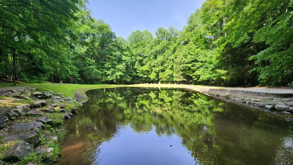 Rock Creek Recreation Area (Cherokee National Forest, TN)CampingPhoto: Recreation.gov (RIDB) / public domain0.1 mi
Source: Roamze catalog (indexable pages within 10 miles, PostGIS distance)
Best months: March–April and August–November. Best months have typical highs of 55–85 °F, lows of 30 °F or warmer (32 °F where the station doesn't record snow), at most one snowy day and no more than 12 wet days.
Jan
47° / 25°
12 wet · 2 snow
Feb
51° / 27°
11 wet · 1 snow
Mar
59° / 33°
12 wet · 1 snow
Apr
68° / 41°
11 wet
May
76° / 50°
13 wet
Jun
83° / 58°
13 wet
Jul
85° / 62°
14 wet
Aug
85° / 61°
12 wet
Sep
80° / 55°
9 wet
Oct
70° / 43°
9 wet
Nov
59° / 32°
10 wet
Dec
50° / 28°
11 wet · 1 snow
Typical high / low (°F) and days with rain or snow, 1991–2020. Measured at Erwin 1 W, TN, 4.4 mi away at 1,720 ft. The station sits about 800 ft lower than this place, so expect it a little cooler here. Source: NOAA NCEI U.S. Climate Normals 1991–2020.

