Rock Creek Recreation Area (Cherokee National Forest, TN)
Campground
Campground · 0.3 mi from the trail
Closure in the area
There's a closure order in Cherokee National Forest. It doesn't name Rattlesnake Ridge Trail, so check the source for the area it covers (2 listed).
Ocoee River Flooding Damage - Nov 5
Agency closure covering Cherokee National Forest · USFS · Cherokee National Forest
Campsite limitations
Agency closure covering Cherokee National Forest · Order 08-04-00-22-180 · USFS · Cherokee National Forest
Emergency road closures due to storm damage
Agency alert covering Cherokee National Forest · USFS · Cherokee National Forest
As of · Source: USFS · Cherokee National Forest. Agencies don't list every closure — check before you go.
Rattlesnake Ridge Trail is an out-and-back hike in the Unaka Ranger District of Cherokee National Forest in Tennessee, managed by the Forest Service. The route is 7.6 miles long, with a total elevation gain of 5,356 feet, and it reaches a high point of 4,835 feet. The trail is rated expert, and the climb is rolling, with the steepest stretch at about 5 miles in, where the grade reaches 38%. The trail starts at 2,477 feet and ends at the same elevation, so the total gain and loss are each about 5,350 feet. The trip takes about five hours, and the steepest part of the route comes in the middle. September is the most comfortable month to go, with typical highs around 73°F and lows near 54°F, and October is similar at about 64°F. These are typical averages from a nearby weather station in North Carolina, which sits about 1,500 feet lower than the trail's high point, so temperatures on the ridge run cooler. Rock Creek Falls Trail and the Rock Creek Bicycle Trail both start within a third of a mile, and Rock Creek Recreation Area offers camping about 0.3 miles away. Dick Creek Falls Trail is about 1.4 miles off.
Rock Creek Recreation Area (Cherokee National Forest, TN)
Campground
Clarence's Drive In
Restaurant
mica Art Gallery
Gallery
Places © OpenStreetMap contributors, Places © Overture Maps Foundation
More in Spruce PineNot on Roamze yet. Their page has how to reach them.
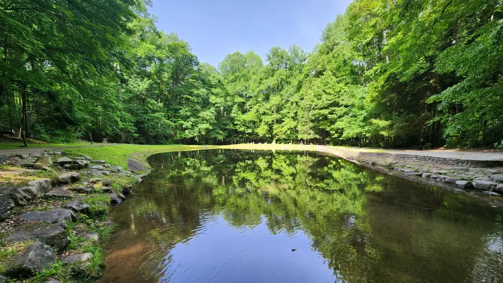 Rock Creek Recreation Area (Cherokee National Forest, TN)CampingPhoto: Recreation.gov (RIDB) / public domain0.3 mi
Source: Roamze catalog (indexable pages within 10 miles, PostGIS distance)
 CloudlandHiking · ~20 min drivePhoto: vastateparksstaff, CC BY 2.0 (via Flickr)
Best months: September–October. Best months have typical highs of 55–85 °F, lows of 30 °F or warmer (32 °F where the station doesn't record snow), at most one snowy day and no more than 12 wet days.
Jan
41° / 24°
17 wet
Feb
44° / 27°
15 wet
Mar
52° / 33°
15 wet
Apr
62° / 42°
14 wet
May
70° / 50°
16 wet
Jun
75° / 58°
14 wet
Jul
79° / 61°
15 wet
Aug
78° / 60°
14 wet
Sep
73° / 54°
11 wet
Oct
64° / 44°
11 wet
Nov
53° / 35°
12 wet
Dec
46° / 28°
16 wet
Typical high / low (°F) and days with rain or snow, 1991–2020. Measured at Flat Springs 1e, NC, 25.2 mi away at 3,330 ft. The station sits about 1,500 ft lower than this place, so expect it a little cooler here. This station doesn't record snowfall. Source: NOAA NCEI U.S. Climate Normals 1991–2020.
Map and trail data © OpenStreetMap contributors

