Dennis Cove Campground
Campground
Campground · 0.5 mi from the trail
Caution at last check
Agency alerts are in effect for this area; weather is good · USFS, OpenWeather · checked 17 h ago
Closure in the area
There's a closure order in Cherokee National Forest. It doesn't name Coon Den Falls, so check the source for the area it covers (2 listed).
Ocoee River Flooding Damage - Nov 5
Agency closure covering Cherokee National Forest · USFS · Cherokee National Forest
Campsite limitations
Agency closure covering Cherokee National Forest · Order 08-04-00-22-180 · USFS · Cherokee National Forest
Emergency road closures due to storm damage
Agency alert covering Cherokee National Forest · USFS · Cherokee National Forest
Roan Mountain Fire Restrictions
Agency alert covering Watauga Ranger District · Order 08-04-06-25-001 · USFS · Watauga Ranger District
As of · Source: USFS · Cherokee National Forest. Agencies don't list every closure — check before you go.
Coon Den Falls is a waterfall in the Watauga Ranger District of Cherokee National Forest in Tennessee, about 3.4 miles from the town of Hampton. It sits at roughly 3,016 feet. Summer and early fall are the most comfortable times to visit. Typical averages from a nearby weather station show July highs around 80°F with lows near 59°F, and September highs around 74°F with lows near 51°F. The Coon Den Falls Trail starts just 0.2 miles away, and the Laurel Fork Trail and Dennis Cove Campground are each about half a mile off. The Appalachian Trail passes about 1.4 miles away.
Dennis Cove Campground
Campground
mica Art Gallery
Gallery
Places © OpenStreetMap contributors
More in Spruce PineElevation from USGS 3D Elevation Program terrain data (about 10 m resolution).
 Dennis Cove CampgroundCampingPhoto: Recreation.gov (RIDB) / public domain0.5 mi
Source: Roamze catalog (indexable pages within 10 miles, PostGIS distance)
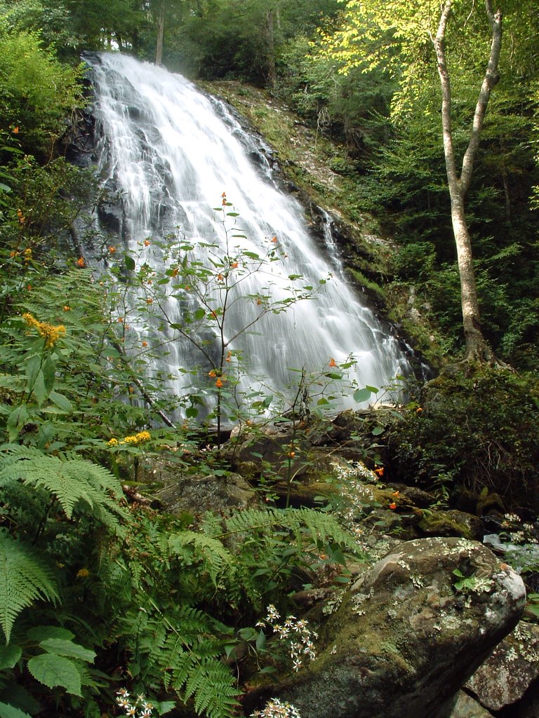 Crabtree FallsWaterfall · ~47 min drivePhoto: Wncoutdoors, CC BY-SA 3.0 (via Wikimedia Commons)
 Mitchell FallsWaterfall · ~59 min drivePhoto: Unknown authorUnknown author, Public domain (via Wikimedia Commons)
 Walker FallsWaterfall · ~1h 3m drivePhoto: User:5minutes, CC BY 2.5 (via Wikimedia Commons)
 Linville FallsWaterfall · ~40 min drivePhoto: Ken Thomas, Public domain (via Wikimedia Commons)
Best months: April–October. Best months have typical highs of 55–85 °F, lows of 30 °F or warmer (32 °F where the station doesn't record snow), at most one snowy day and no more than 12 wet days.
Jan
44° / 22°
Feb
48° / 25°
Mar
55° / 31°
Apr
65° / 38°
May
71° / 47°
Jun
77° / 55°
Jul
80° / 59°
Aug
78° / 58°
Sep
74° / 51°
Oct
67° / 40°
Nov
56° / 30°
Dec
48° / 25°
Typical high / low (°F) and days with rain or snow, 1991–2020. Measured at Roan Mtn 3sw, TN, 6.3 mi away at 2,923 ft. This station doesn't record snowfall. Source: NOAA NCEI U.S. Climate Normals 1991–2020.
