Nolichucky Gorge Campground and Cabins
Campground
Campground · 0.9 mi from the trail
Closure in the area
There's a closure order in Cherokee National Forest. It doesn't name Chestoa Launch, so check the source for the area it covers (3 listed).
Ocoee River Flooding Damage - Nov 5
Agency closure covering Cherokee National Forest · USFS · Cherokee National Forest
Campsite limitations
Agency closure covering Cherokee National Forest · Order 08-04-00-22-180 · USFS · Cherokee National Forest
List of trail closures post-Hurricane Helene
Park closure covering Appalachian National Scenic Trail · NPS · Appalachian National Scenic Trail
Black Bears Frequenting the McAfee Knob Area in Virginia
Park alert covering Appalachian National Scenic Trail · NPS · Appalachian National Scenic Trail
Emergency road closures due to storm damage
Agency alert covering Cherokee National Forest · USFS · Cherokee National Forest
As of · Source: USFS · Cherokee National Forest. Agencies don't list every closure — check before you go.
Chestoa Launch is a boat launch in Tennessee's Cherokee National Forest, within the Unaka Ranger District and along the Appalachian National Scenic Trail. The nearest town is Banner Hill, about 2 miles away. The launch has vault toilets, and there is no fee to use it. It is a simple put-in for getting a boat onto the water in this corner of the forest. For comfortable weather, aim for late spring or early fall. Typical averages from a nearby weather station in Erwin show May highs around 76°F and October highs around 70°F, with September and October seeing the fewest wet days of the year. Several trails start close by, including the Temple Hill Trail about a mile away and the California Trail at about 2 miles. Paddlers can also look to Spivey Creek, roughly 4 miles off, and Rock Creek Recreation Area offers camping about 6 miles away.
Nolichucky Gorge Campground and Cabins
Campground
McElroy House
Museum
Places © OpenStreetMap contributors, Places © Overture Maps Foundation
More in Spruce Pine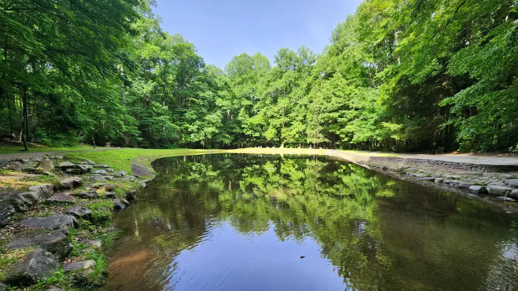 Rock Creek Recreation Area (Cherokee National Forest, TN)CampingPhoto: Recreation.gov (RIDB) / public domain6.1 mi
Source: Roamze catalog (indexable pages within 10 miles, PostGIS distance)
Also worth it near here
 A.T. Curley Maple Gap ShelterCamping · ~5 min drivePhoto: J.P. Lawrence (University of Mississippi), CC BY 4.0 (via Wikimedia Commons)
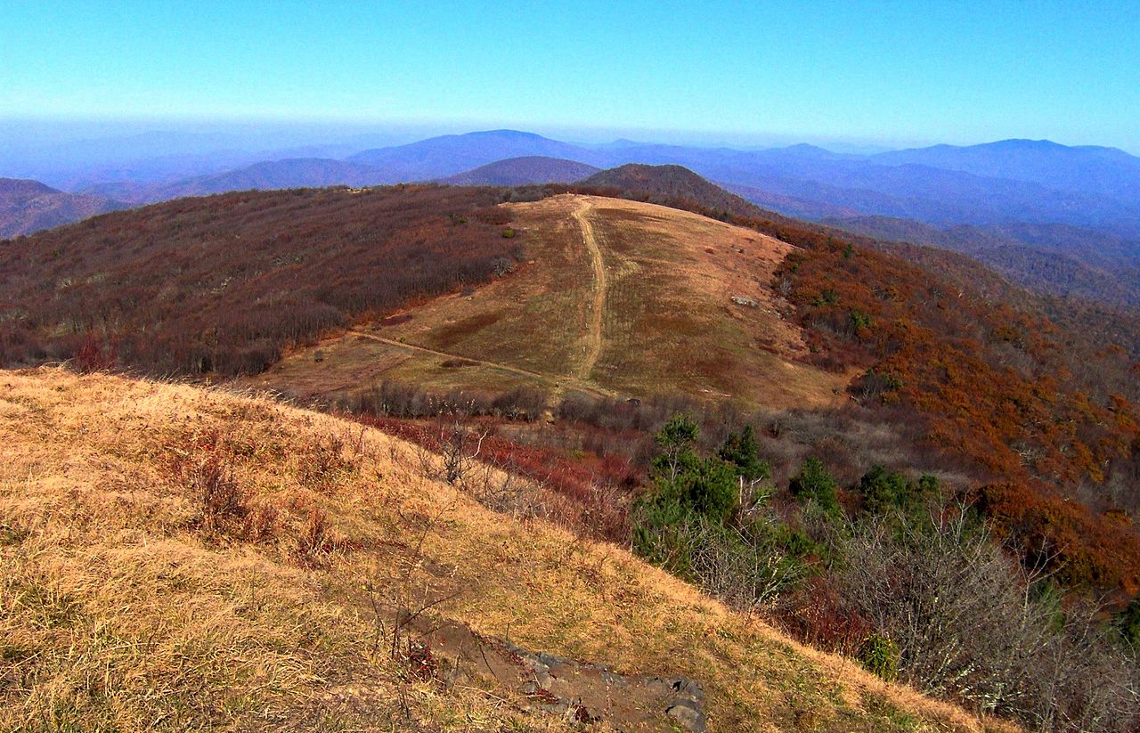 Big BaldSummit · ~14 min drivePhoto: Brian Stansberry, CC BY 3.0 (via Wikimedia Commons)
Best months: March–April and August–November. Best months have typical highs of 55–85 °F, lows of 30 °F or warmer (32 °F where the station doesn't record snow), at most one snowy day and no more than 12 wet days.
Jan
47° / 25°
12 wet · 2 snow
Feb
51° / 27°
11 wet · 1 snow
Mar
59° / 33°
12 wet · 1 snow
Apr
68° / 41°
11 wet
May
76° / 50°
13 wet
Jun
83° / 58°
13 wet
Jul
85° / 62°
14 wet
Aug
85° / 61°
12 wet
Sep
80° / 55°
9 wet
Oct
70° / 43°
9 wet
Nov
59° / 32°
10 wet
Dec
50° / 28°
11 wet · 1 snow
Typical high / low (°F) and days with rain or snow, 1991–2020. Measured at Erwin 1 W, TN, 3 mi away at 1,720 ft. We don't have this place's elevation, so higher spots nearby can run cooler. Source: NOAA NCEI U.S. Climate Normals 1991–2020.
