Long Branch Trail
- 2.6 mi
- round trip
- 2,003 ft
- climb
- 2,949 ft
- high point
- Out and back
- route
- Mar–Jun, Sep–Nov
- best months
Caution today
Agency alerts are in effect for this area; weather is good · USFS, OpenWeather · checked 7 h ago
Is LONG BRANCH TRAIL open right now?
Closure in the area
There's a closure order in Cherokee National Forest. It doesn't name LONG BRANCH TRAIL, so check the source for the area it covers (3 listed).
Ocoee River Flooding Damage - Nov 5
Agency closure covering Cherokee National Forest · USFS · Cherokee National Forest
Campsite limitations
Agency closure covering Cherokee National Forest · Order 08-04-00-22-180 · USFS · Cherokee National Forest
Citico Creek Flood Closure
Agency closure covering Tellico Ranger District · USFS · Tellico Ranger District
Emergency road closures due to storm damage
Agency alert covering Cherokee National Forest · USFS · Cherokee National Forest
As of · Source: USFS · Cherokee National Forest. Agencies don't list every closure — check before you go.
Long Branch Trail is a moderate out-and-back hike in the Tellico Ranger District of Cherokee National Forest in Tennessee, managed by the Forest Service. The trail is about 5 miles long, with a total elevation gain of about 2,000 feet, and it reaches a high point of 2,949 feet. The climb is front-loaded, with the steepest stretch at about 0.9 miles in, where the grade reaches 22 percent. The trail starts at about 1,780 feet and climbs to the high point before descending back to the start. The round trip covers about 5 miles and takes roughly 2.5 hours. Spring and fall are the most comfortable times to go. Typical averages from a nearby weather station in Andrews, North Carolina, show October highs around 72°F with lows near 43°F, and April is similar at about 70°F by day and 42°F at night. That station sits about 1,200 feet lower than the trail's high point, so temperatures on the summit run cooler. The Tellico River is about half a mile away, and the Hemlock Trail and Panther Branch Trail are also within a mile. For an overnight stay, the McNabb Creek Group campground is about 0.8 miles off.
Local outfitters
- GSM Outfitters39 mi away
- Hurshel's Outfitters46 mi away
Not on Roamze yet. Their page has how to reach them.
- Tellico RiverRiver fishing0.5 mi
- HEMLOCK TRAILHiking0.5 mi
- PANTHER BRANCH TRAILHiking0.7 mi
- MCNABB CREEK TRAILHiking0.8 mi
- McNabb Creek GroupCamping0.8 mi
 Mcnabb Group CampCampingPhoto: Idawriter, CC BY-SA 3.0 (via Wikimedia Commons)0.9 mi
- Tellico River AreaRiver fishing0.9 mi
 North River CgCampingPhoto: Chris M Morris, CC BY 2.0 (via Wikimedia Commons)1.4 mi
Source: Roamze catalog (indexable pages within 10 miles, PostGIS distance)
 NORTH FORK OF CITICO TRAILHiking · ~10 min drivePhoto: Chris M Morris, CC BY 2.0 (via Wikimedia Commons)
 FODDERSTACK MOUNTAINHiking · ~10 min drivePhoto: MichaelGras, CC BY 2.0 (via Flickr)
 Benton Mackaye -Cheoah RdHiking · ~11 min drivePhoto: pseabolt, CC BY 3.0 (via Wikimedia Commons)
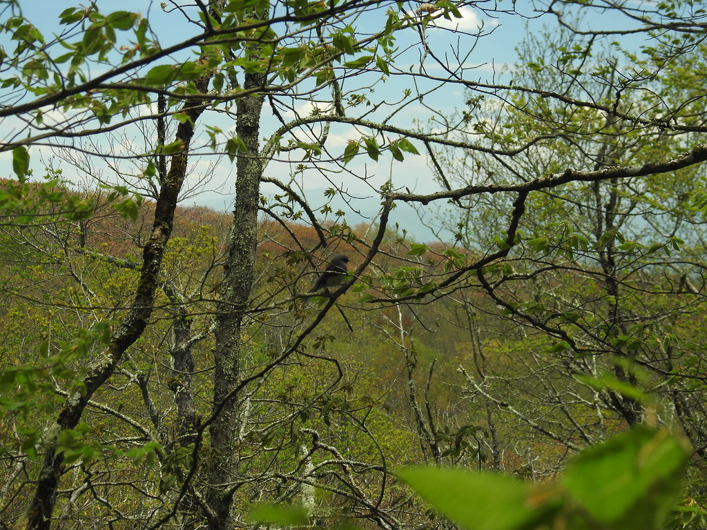 Hooper BaldHiking · ~14 min drivePhoto: MichaelGras, CC BY 2.0 (via Flickr)
- ROCKY FLATS TRAILHiking · ~11 min drivePhoto: Chris M Morris, CC BY 2.0 (via Wikimedia Commons)
- SOUTH FORK OF CITICO TRAILHiking · ~10 min drivePhoto: Chris M Morris, CC BY 2.0 (via Wikimedia Commons)
- Mitchell LickHiking · ~15 min drivePhoto: pseabolt, CC BY 3.0 (via Wikimedia Commons)
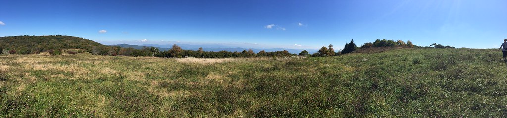 HuckleberryHiking · ~15 min drivePhoto: wordjunky, CC BY 2.0 (via Flickr)
- Snowbird MountainHiking · ~12 min drivePhoto: pseabolt, CC BY 3.0 (via Wikimedia Commons)
- HEMLOCK TRAILHiking · Next door
Best time to visit LONG BRANCH TRAIL
Best months: March–June and September–November. Best months have typical highs of 55–85 °F, lows of 30 °F or warmer (32 °F where the station doesn't record snow), at most one snowy day and no more than 12 wet days.
Jan
50° / 27°
Feb
54° / 29°
Mar
62° / 35°
Apr
70° / 42°
May
77° / 51°
Jun
84° / 58°
Jul
86° / 62°
Aug
86° / 61°
Sep
82° / 56°
Oct
72° / 43°
Nov
61° / 34°
Dec
53° / 29°
Typical high / low (°F) and days with rain or snow, 1991–2020. Measured at Andrews, NC, 19.4 mi away at 1,749 ft. The station sits about 1,200 ft lower than this place, so expect it a little cooler here. This station doesn't record snowfall. Source: NOAA NCEI U.S. Climate Normals 1991–2020.
