Jeffery's Hell Trail
- 1.8 mi
- round trip
- 1,530 ft
- climb
- 3,993 ft
- high point
- Out and back
- route
Is JEFFERY'S HELL TRAIL open right now?
Closure in the area
There's a closure order in Cherokee National Forest. It doesn't name JEFFERY'S HELL TRAIL, so check the source for the area it covers (3 listed).
Ocoee River Flooding Damage - Nov 5
Agency closure covering Cherokee National Forest · USFS · Cherokee National Forest
Campsite limitations
Agency closure covering Cherokee National Forest · Order 08-04-00-22-180 · USFS · Cherokee National Forest
Citico Creek Flood Closure
Agency closure covering Tellico Ranger District · USFS · Tellico Ranger District
Emergency road closures due to storm damage
Agency alert covering Cherokee National Forest · USFS · Cherokee National Forest
As of · Source: USFS · Cherokee National Forest. Agencies don't list every closure — check before you go.
Jeffery's Hell Trail is a 1.8-mile moderate hike in the Citico Creek Wilderness, part of the Tellico Ranger District of Cherokee National Forest in Tennessee. The Forest Service manages the land, and the trail is an out-and-back that climbs about 1,033 feet one way, with a total round-trip gain of 1,530 feet. The route starts at about 3,413 feet and reaches a high point of 3,993 feet. The steepest stretch comes early, around 0.24 miles in, with a grade of about 22 percent. The trail's length is 3.6 miles round trip, so plan for a full day if you want to take in the whole climb. Several other destinations sit within about a mile and a half, including Fodderstack Mountain, Falls Branch Trail and Strawberry Knob - Bmt. For an overnight stay, Donley Cabin is about 3.8 miles away.
Local outfitters
- GSM Outfitters34 mi away
- Hurshel's Outfitters41 mi away
Not on Roamze yet. Their page has how to reach them.
Conditions and forecast on Rattlesnake Rock
Daily highs and lows, wind and the chance of precipitation at the summit and route start for the next 7 days, from the Open-Meteo model.
 FODDERSTACK MOUNTAINHikingPhoto: MichaelGras, CC BY 2.0 (via Flickr)1.2 mi
- FALLS BRANCH TRAILHiking1.2 mi
- Strawberry Knob - BmtHiking1.2 mi
- Donley CabinCamping3.8 mi
- Indian Boundary Overflow CampgroundCamping4 mi
 Indian Boundary Recreation AreaCampingPhoto: Idawriter, CC BY-SA 3.0 (via Wikimedia Commons)4.1 mi
- Indian Boundary LakePier fishing4.5 mi
- Tellico RiverRiver fishing5.7 mi
Source: Roamze catalog (indexable pages within 10 miles, PostGIS distance)
- FODDERSTACK MOUNTAINHiking · ~2 min drivePhoto: MichaelGras, CC BY 2.0 (via Flickr)
 Benton Mackaye -Cheoah RdHiking · ~5 min drivePhoto: pseabolt, CC BY 3.0 (via Wikimedia Commons)
 NORTH FORK OF CITICO TRAILHiking · ~5 min drivePhoto: Chris M Morris, CC BY 2.0 (via Wikimedia Commons)
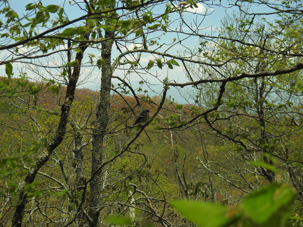 Hooper BaldHiking · ~8 min drivePhoto: MichaelGras, CC BY 2.0 (via Flickr)
- SOUTH FORK OF CITICO TRAILHiking · ~6 min drivePhoto: Chris M Morris, CC BY 2.0 (via Wikimedia Commons)
- Mitchell LickHiking · ~9 min drivePhoto: pseabolt, CC BY 3.0 (via Wikimedia Commons)
- ROCKY FLATS TRAILHiking · ~6 min drivePhoto: Chris M Morris, CC BY 2.0 (via Wikimedia Commons)
 Wright's CreekHiking · ~10 min drivePhoto: MichaelGras, CC BY 2.0 (via Flickr)
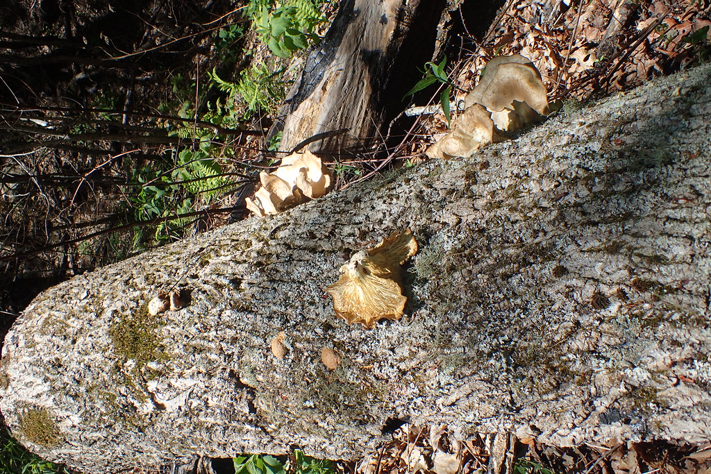 Deep CreekHiking · ~12 min drivePhoto: MichaelGras, CC BY 2.0 (via Flickr)
- Snowbird MountainHiking · ~8 min drivePhoto: pseabolt, CC BY 3.0 (via Wikimedia Commons)
Route details
- Distance
- 1.8 mi round trip
- Climbing
- About 1,530 ft
- Summit
- 4,143 ft
- Difficulty
- Moderate
- Time
- About 1 hour
Other routes up Rattlesnake Rock
Questions about this route
How long is the JEFFERY'S HELL TRAIL on Rattlesnake Rock?
About 1.8 mi round trip.
How much elevation gain is on the JEFFERY'S HELL TRAIL?
About 1,530 ft of climbing round trip.
How hard is the JEFFERY'S HELL TRAIL?
It is rated moderate.
How long does the JEFFERY'S HELL TRAIL take?
About 1 hour round trip.
How many routes go up Rattlesnake Rock?
2: FALLS BRANCH TRAIL and JEFFERY'S HELL TRAIL.
