French Broad River Area
- Mar–May, Sep–Nov
- best months
Is French Broad River Area open right now?
Closure in the area
There's a closure order in Cherokee National Forest. It doesn't name French Broad River Area, so check the source for the area it covers (2 listed).
Ocoee River Flooding Damage - Nov 5
Agency closure covering Cherokee National Forest · USFS · Cherokee National Forest
Campsite limitations
Agency closure covering Cherokee National Forest · Order 08-04-00-22-180 · USFS · Cherokee National Forest
Emergency road closures due to storm damage
Agency alert covering Cherokee National Forest · USFS · Cherokee National Forest
As of · Source: USFS · Cherokee National Forest. Agencies don't list every closure — check before you go.
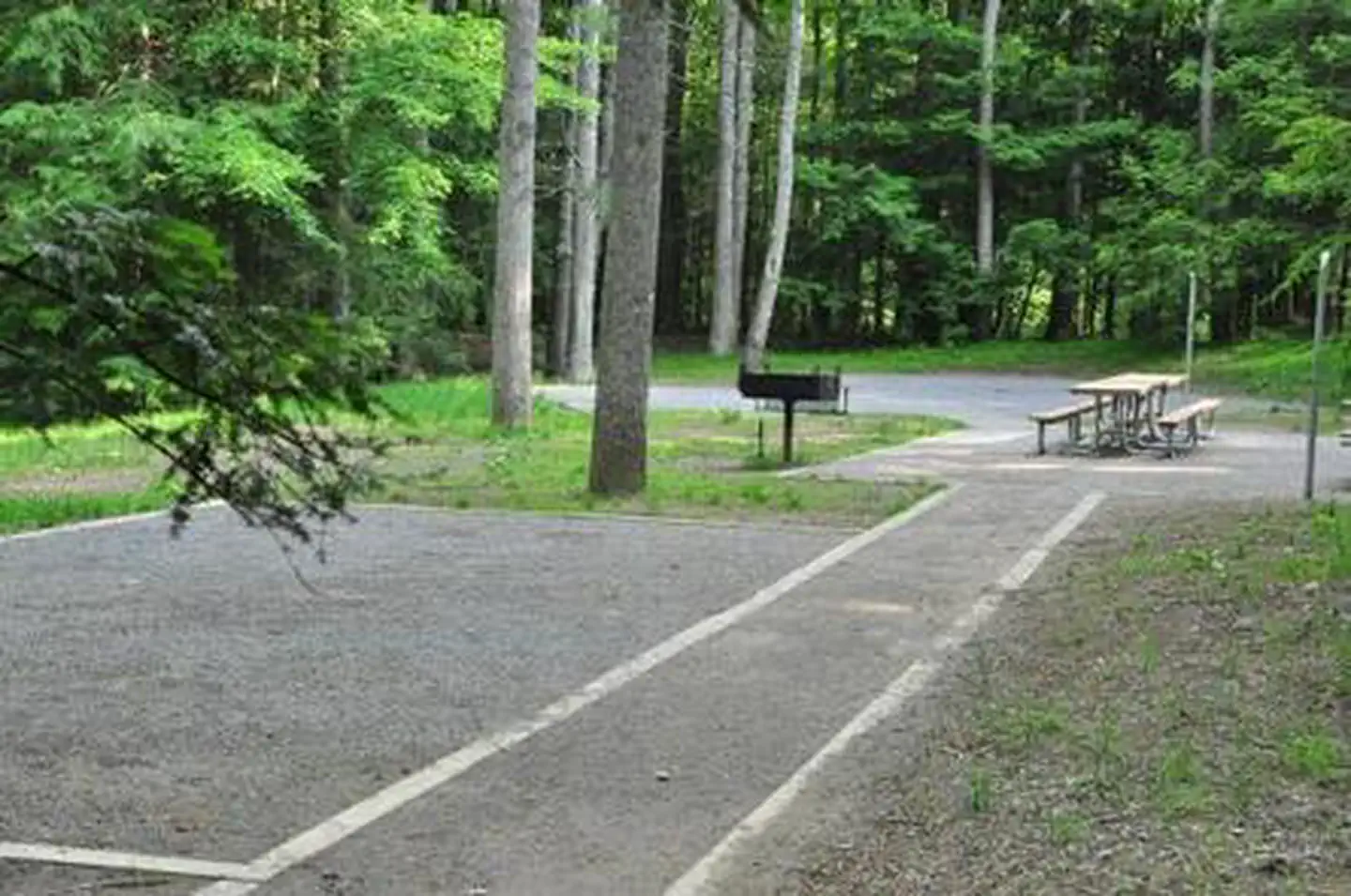
The French Broad River Area in Tennessee's Cherokee National Forest is a forested stretch of mountain and creek country in the Unaka Ranger District, managed by the Forest Service. It is a place of linked roads and trails, with fishing, hiking, horseback riding, creek play and camping all part of the mix. Paint Creek is a hub for camping, fishing, swimming and picnicking, and the Appalachian Scenic Trail runs along the area's eastern edge. Spring and fall are the most comfortable times to visit. Typical averages from a nearby weather station in Hot Springs, North Carolina, show October highs around 72°F with lows near 47°F, and April highs around 71°F. July is the warmest month, with highs near 87°F. Paint Creek Campground and Houston Valley Campground are both within about 1.6 miles. The Allens Branch Pond Loop hike starts about half a mile away, and Buffalo Rock on French Broad River, a climbing area, is about 0.3 miles off.
Local outfitters
- Nantahala Outdoor Center14 mi away
- French Broad Outfitters31 mi away
Not on Roamze yet. Their page has how to reach them.
- Buffalo Rock on French Broad RiverRock climbing0.3 mi
- Allens Branch Pond LoopHiking0.5 mi
- Paint Mountain TrailHiking1.5 mi
 Houston Valley CampgroundCampingPhoto: AppalachianCentrist, CC BY-SA 4.0 (via Wikimedia Commons)1.6 mi
- GUM SPRINGS TRAILHiking1.6 mi
- Paint Creek CampgroundCamping5.7 mi
- Cove CreekCanoeing6.1 mi
- Trail ForkCanoeing6.4 mi
Source: Roamze catalog (indexable pages within 10 miles, PostGIS distance)
- Carolina Hemlocks Rec AreaRiver fishing · ~1h 12m drive
- Lake Powhatan GlampingLake fishing · ~1h 2m drive
- Little RiverRiver fishing · ~1h 11m drive
- South Toe RiverRiver fishing · ~1h 13m drive
- Balsam Lake LodgePier fishing · ~1h 20m drive
- Pisgah National ForestRiver fishing · ~59 min drive
- Davy Crockett LakeLake fishing · ~18 min drive
- Davidson RiverRiver fishing · ~1h 23m drive
- Sycamore Flats Picnic ShelterPier fishing · ~1h 22m drive
- Bald MountainsRiver fishing · ~36 min drive
Best time to visit French Broad River Area
Best months: March–May and September–November. Best months have typical highs of 55–85 °F, lows of 30 °F or warmer (32 °F where the station doesn't record snow), at most one snowy day and no more than 12 wet days.
Jan
48° / 28°
12 wet
Feb
52° / 31°
12 wet
Mar
60° / 37°
12 wet
Apr
71° / 44°
12 wet
May
78° / 54°
12 wet
Jun
84° / 62°
13 wet
Jul
87° / 65°
13 wet
Aug
86° / 65°
11 wet
Sep
82° / 59°
8 wet
Oct
72° / 47°
9 wet
Nov
60° / 36°
9 wet
Dec
51° / 32°
11 wet
Typical high / low (°F) and days with rain or snow, 1991–2020. Measured at Hot Springs, NC, 6.7 mi away at 1,345 ft. This station doesn't record snowfall. Source: NOAA NCEI U.S. Climate Normals 1991–2020.