Black Mountain Campground
Campground
The next 6 weekends are full on Recreation.gov
Closure in the area
There's a closure order in National Forests in North Carolina. It doesn't name South Toe River, so check the source for the area it covers (2 listed).
Maple Sally Road Closure
Agency closure covering National Forests in North Carolina · USFS · National Forests in North Carolina
Table Rock Road construction starts Nov. 2, 2026
Agency closure covering National Forests in North Carolina · USFS · National Forests in North Carolina
Pisgah National Forest Begins Removing Hazardous Fuel Left by Helene via Helicopters
Agency alert covering National Forests in North Carolina · USFS · National Forests in North Carolina
Temporary Closure - The Elk Falls Trail
Agency alert covering National Forests in North Carolina · USFS · National Forests in North Carolina
Rainbow Springs Road closed for reconstruction
Agency alert covering National Forests in North Carolina · USFS · National Forests in North Carolina
As of · Source: USFS · National Forests in North Carolina. Agencies don't list every closure — check before you go.
South Toe River is a river in North Carolina, within the Appalachian Ranger District of the National Forests in North Carolina. The Forest Service manages the land, and the river is a fishing destination. The most comfortable months for a visit are typically late spring and early fall. Typical averages from a nearby weather station at Celo show May highs around 71°F and September highs around 73°F, with September also seeing the fewest wet days of the year. Several other spots sit close by. North River Loop and Devils Den Nature are both hikes about a mile away, and Black Mountain Campground offers camping at a similar distance. Carolina Hemlocks Rec Area, another river fishing area, is about 2.5 miles off.
Black Mountain Campground
Campground
J & J's Grill On The Green
Restaurant
 If it rainsDavidhuffcreative, CC BY-SA 4.0 · Wikimedia Commons
Places © OpenStreetMap contributors · Photos: Davidhuffcreative, CC BY-SA 4.0 (commons)
More in Spruce PineNot on Roamze yet. Their page has how to reach them.
 North River LoopHikingPhoto: Tim Brown Architecture, CC BY 2.0 (via Flickr)1.1 mi
 Devils Den NatureHikingPhoto: Tim Brown Architecture, CC BY 2.0 (via Flickr)1.2 mi
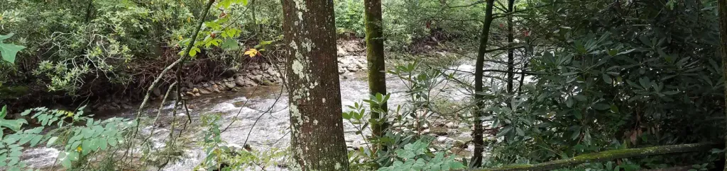 Black Mountain CampgroundCampingPhoto: Recreation.gov (RIDB) / public domain1.2 mi
 Briar Bottom Group CampCampingPhoto: Wncoutdoors, CC BY-SA 3.0 (via Wikimedia Commons)1.6 mi
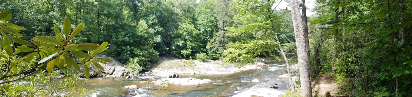 Carolina Hemlocks Rec AreaRiver fishing2.5 mi
Source: Roamze catalog (indexable pages within 10 miles, PostGIS distance)
Also worth it near here
Best months: March–June and August–October. Best months have typical highs of 55–85 °F, lows of 30 °F or warmer (32 °F where the station doesn't record snow), at most one snowy day and no more than 12 wet days.
Jan
45° / 23°
10 wet
Feb
49° / 26°
10 wet
Mar
56° / 32°
11 wet
Apr
65° / 40°
11 wet
May
71° / 48°
12 wet
Jun
76° / 55°
12 wet
Jul
79° / 59°
13 wet
Aug
78° / 58°
12 wet
Sep
73° / 52°
9 wet
Oct
65° / 41°
8 wet
Nov
56° / 31°
8 wet
Dec
48° / 26°
10 wet
Typical high / low (°F) and days with rain or snow, 1991–2020. Measured at Celo 2 S, NC, 4.3 mi away at 2,700 ft. This station doesn't record snowfall. Source: NOAA NCEI U.S. Climate Normals 1991–2020.
