Sycamore Flats Picnic Shelter
Campground
The next 6 weekends are full on Recreation.gov
Closure in the area
There's a closure order in National Forests in North Carolina. It doesn't name Sycamore Flats Picnic Shelter, so check the source for the area it covers (2 listed).
Maple Sally Road Closure
Agency closure covering National Forests in North Carolina · USFS · National Forests in North Carolina
Table Rock Road construction starts Nov. 2, 2026
Agency closure covering National Forests in North Carolina · USFS · National Forests in North Carolina
Pisgah National Forest Begins Removing Hazardous Fuel Left by Helene via Helicopters
Agency alert covering National Forests in North Carolina · USFS · National Forests in North Carolina
Temporary Closure - The Elk Falls Trail
Agency alert covering National Forests in North Carolina · USFS · National Forests in North Carolina
Rainbow Springs Road closed for reconstruction
Agency alert covering National Forests in North Carolina · USFS · National Forests in North Carolina
As of · Source: USFS · National Forests in North Carolina. Agencies don't list every closure — check before you go.
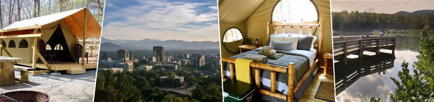
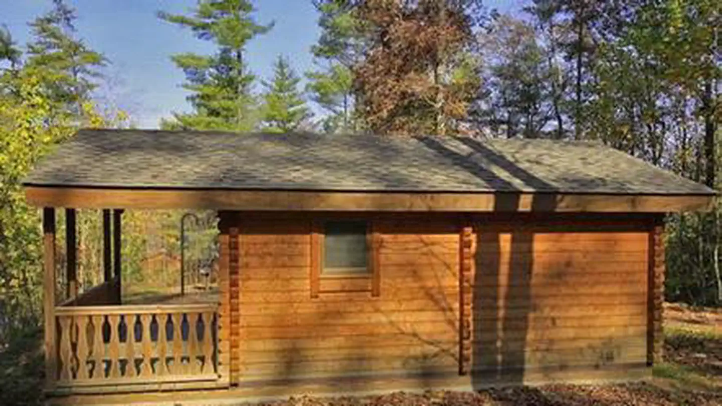
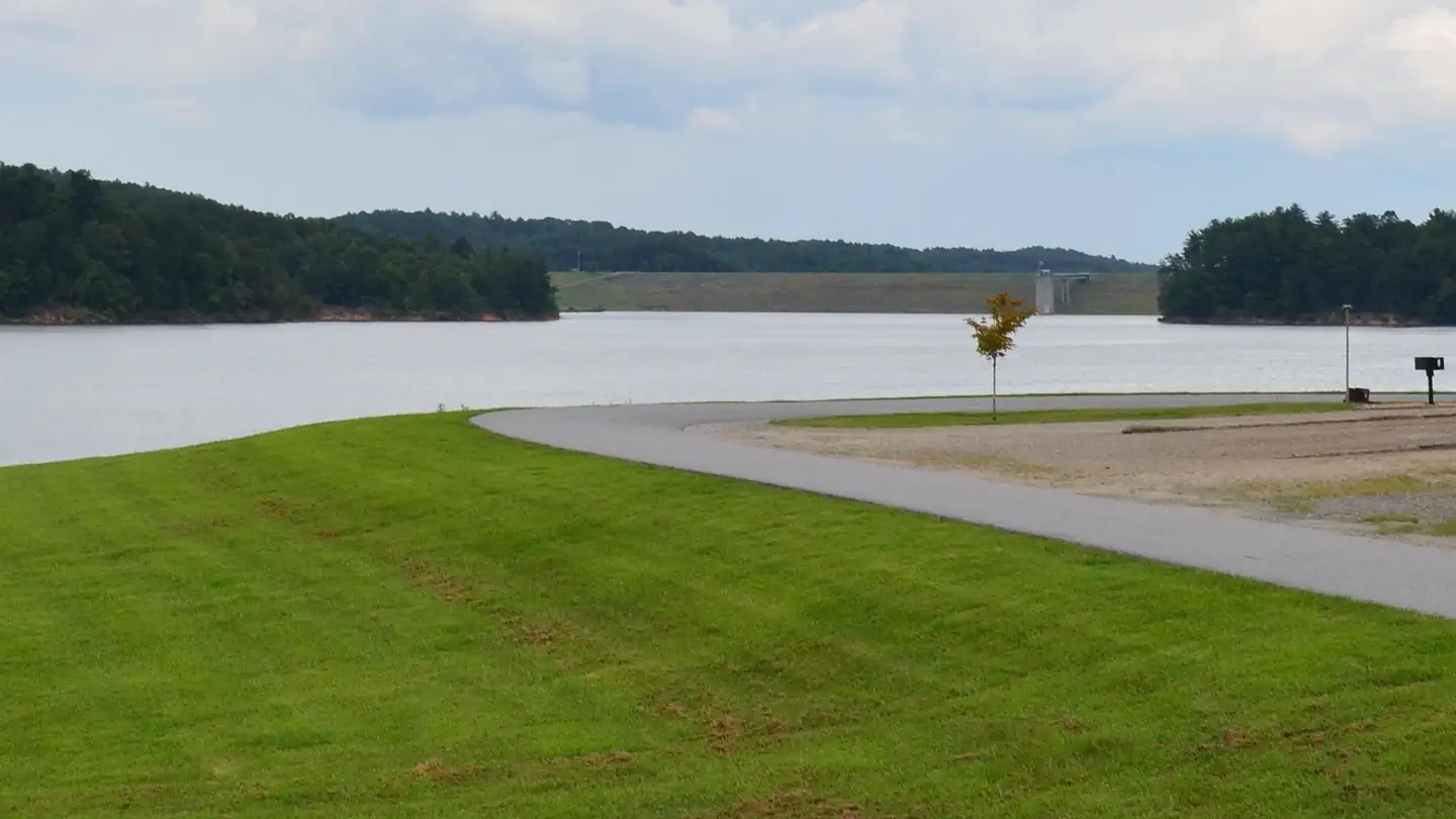
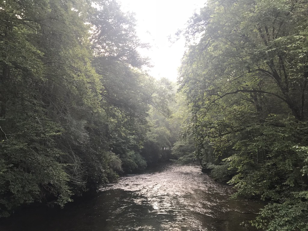
Overview Sycamore Flats Picnic Shelter is located along the Davidson River on the Pisgah National Forest. This picnic area was named for the sycamore trees which line the banks of the river.The shelter is available on a first come, first served basis from mid-November to April 15th. Reservations are available April 16th through mid-November. Some amenities may not be available during the off-season. This is a popular destination with limited parking, please plan accordingly.Recreation Sycamore Flats Picnic Area offers excellent swimming and wading, trout fishing, and tubing opportunities on the Davidson River. There is an accessible fishing pier. Facilities This large picnic area has 40 picnic tables with grills nearby. The reservable shelter has four picnic tables for use, plus one grill. There are two restrooms available; one is wheelchair accessible.There is a large, open field beside the picnic shelter for games and fun.Natural Features Sycamore Flats is a beautiful, shaded picnic area that sits in the bend of the Davidson River. This picnic area is surrounded by lush hardwood forest and rhododendron. Contact Info This location is unstaffed. To speak with our main office for general information, please call: (828) 877-3265. Nearby Attractions Pisgah National Forest offers nearly 400 miles of trails -- many are for biking, hiking and several for equestrian use. Throughout the area, visitors will discover the many beautiful waterfalls the forest is known for. Pisgah Visitor Center is just 1.5 miles up on Hwy 276 from the Sycamore Flats Picnic Shelter and offers interpretive displays, a gift shop, and a wealth of information and maps. Further up Hwy 276 is the birthplace of forestry in America--The Cradle of Forestry. Nearby is the Pisgah Fish Hatchery and Pisgah Center for Wildlife Education.
Sycamore Flats Picnic Shelter
Campground
 If it rainsMx. Granger, CC0 · Wikimedia Commons
Places © OpenStreetMap contributors, Places © Overture Maps Foundation · Photos: Mx. Granger, CC0 (commons)
More in HendersonvilleNot on Roamze yet. Their page has how to reach them.
 EstatoeHikingPhoto: HopeHill, CC BY 2.0 (via Flickr)0.2 miSycamore CoveHikingPhoto: HopeHill, CC BY 2.0 (via Flickr)0.5 mi
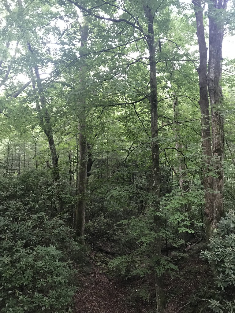 North Slope LoopHikingPhoto: HopeHill, CC BY 2.0 (via Flickr)1 mi
 Hidden WallRock climbingPhoto: jasonferrell, CC BY 2.0 (via Flickr)4.6 mi
 Upper Cove Creek Roadside CampsitesCampingPhoto: Wncoutdoors, CC BY-SA 3.0 (via Wikimedia Commons)6.2 mi
Source: Roamze catalog (indexable pages within 10 miles, PostGIS distance)
Best months: March–May and September–November. Best months have typical highs of 55–85 °F, lows of 30 °F or warmer (32 °F where the station doesn't record snow), at most one snowy day and no more than 12 wet days.
Jan
49° / 25°
10 wet · 1 snow
Feb
53° / 27°
10 wet · 1 snow
Mar
60° / 33°
12 wet
Apr
69° / 41°
11 wet
May
75° / 50°
12 wet
Jun
81° / 58°
14 wet
Jul
83° / 62°
15 wet
Aug
82° / 62°
14 wet
Sep
77° / 55°
10 wet
Oct
69° / 43°
9 wet
Nov
59° / 32°
8 wet
Dec
51° / 28°
10 wet · 1 snow
Typical high / low (°F) and days with rain or snow, 1991–2020. Measured at Brevard, NC, 3.5 mi away at 2,175 ft. Source: NOAA NCEI U.S. Climate Normals 1991–2020.