Round Top
- 2,173 ft
- summit
- 2
- ways up
- Jul–Sep
- best months
Round Top is a summit of 2,173 feet in Rothrock State Forest in Pennsylvania, about 4 miles from the town of Petersburg. The peak sits within the state forest, and several trails start close by, making it a natural anchor for a day of hiking in the area. Summer and early fall are the most comfortable times to go. Typical averages from a nearby weather station show July highs around 80°F with lows near 57°F, and September highs around 72°F. That station sits about 450 feet lower than the summit, so temperatures on top run a little cooler. The Summit Trail is the closest route, about 0.4 miles away, with the Wheeler Trail and Rudy Trail within a mile. Shaver Creek, a canoeing spot, is about 5 miles off.
Conditions and forecast
Daily highs and lows, wind and the chance of precipitation at the summit and route start for the next 7 days, from the Open-Meteo model.
- Summit elevation
- 2,173 ft
Elevation from USGS 3D Elevation Program terrain data (about 10 m resolution).
- Summit TrailModerateabout 1,684 ft of climbing2.4 mi round trip
- Round Top TrailModerateabout 1,252 ft of climbing5.1 mi round trip
Compare the routes Summit Trail Round Top Trail Climbing About 1,684 ft About 1,252 ft Round trip 2.4 mi 5.1 mi Difficulty Moderate Moderate Terrain Hike Hike Map © Mapbox © OpenStreetMap contributors Questions about Round Top
How tall is Round Top?
2,173 ft (662 m).
How many routes go to the summit of Round Top?
2: Summit Trail and Round Top Trail.
What is the shortest route up Round Top?
Summit Trail, about 2.4 mi round trip.
- Broad Mountain2,382 ft · Pennsylvania2 routes17 mi away
- Bald Knob2,298 ft · Pennsylvania2 routes18 mi away
- Horse Knob1,973 ft · Pennsylvania1 route19 mi away
- Terrace Mountain1,973 ft · Pennsylvania1 route19 mi away
- Milligans Knob2,333 ft · Pennsylvania1 route21 mi away
- Broad Mountain2,342 ft · Pennsylvania1 route22 mi away
- Summit TrailHiking0.4 mi
- Wheeler TrailHiking0.6 mi
- Rudy TrailHiking0.9 mi
- Colerain TrailHiking1 mi
- Shaver CreekCanoeing4.9 mi
- Donation RocksRock climbing7.4 mi
- Left SideRock climbing7.4 mi
- Damnation WallRock climbing7.4 mi
Source: Roamze catalog (indexable pages within 10 miles, PostGIS distance)
 Butler KnobSummit · ~41 min drivePhoto: Joe Calzarette, CC BY-SA 3.0 (via Wikimedia Commons)
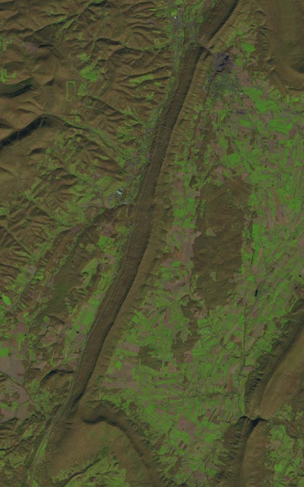 Dunning MountainSummit · ~57 min drivePhoto: James Stuby based on USGS/Landsat image, Public domain (via Wikimedia Commons)
 Blue KnobSummit · ~1h 1m drivePhoto: Calzarette, CC BY 3.0 (via Wikimedia Commons)
 Clarks KnobSummit · ~1h 14m drivePhoto: Calzarette at en.wikipedia, Public domain (via Wikimedia Commons)
 Big MountainSummit · ~1h 21m drivePhoto: Calzarette at en.wikipedia, Public domain (via Wikimedia Commons)
- Broad MountainSummit · ~30 min drive
- Bald KnobSummit · ~30 min drive
- Horse KnobSummit · ~33 min drive
- Terrace MountainSummit · ~33 min drive
- Milligans KnobSummit · ~35 min drive
Best time to visit Round Top
Best months: July–September. Best months have typical highs of 55–85 °F, lows of 30 °F or warmer (32 °F where the station doesn't record snow), at most one snowy day and no more than 12 wet days.
Jan
32° / 15°
16 wet
Feb
35° / 17°
13 wet
Mar
44° / 23°
14 wet
Apr
57° / 34°
15 wet
May
68° / 44°
15 wet
Jun
76° / 53°
13 wet
Jul
80° / 57°
12 wet
Aug
78° / 55°
12 wet
Sep
72° / 48°
11 wet
Oct
59° / 38°
13 wet
Nov
47° / 29°
12 wet
Dec
36° / 21°
15 wet
Typical high / low (°F) and days with rain or snow, 1991–2020. Measured at Philipsburg 2 S, PA, 18.5 mi away at 1,720 ft. This station doesn't record snowfall. Source: NOAA NCEI U.S. Climate Normals 1991–2020.
