Butler Knob
 Photo: Joe Calzarette, CC BY-SA 3.0 (via Wikimedia Commons)
- 2,323 ft
- summit
- 1
- way up
- Jun–Oct
- best months
Butler Knob is a summit of 2,323 feet in Rothrock State Forest in Pennsylvania, about 3 miles from the town of Cassville. It sits at the top of the forest's high ground, and the Standing Stone Trail passes within half a mile, making it an easy addition to a day on foot in the area. For comfortable weather, aim for late spring or early fall. Typical averages from a nearby weather station at Raystown Lake show May highs around 72°F and September highs around 76°F, though that station sits roughly 1,300 feet lower, so temperatures on the knob run cooler. The Standing Stone Trail is the closest neighbor, and the Over There Trail and Pipeline Trail are both within about 6 miles. Seven Points Picnic Shelters, about 6 miles away, offers a place to stop for a picnic.
Conditions and forecast
Daily highs and lows, wind and the chance of precipitation at the summit and route start for the next 7 days, from the Open-Meteo model.
- Summit elevation
- 2,323 ft
Elevation from USGS 3D Elevation Program terrain data (about 10 m resolution).
Map © Mapbox © OpenStreetMap contributors Questions about Butler Knob
How tall is Butler Knob?
2,323 ft (708 m).
How many routes go to the summit of Butler Knob?
One: Standing Stone Trail.
- Horse Knob1,973 ft · Pennsylvania1 route7.6 mi away
- Terrace Mountain1,973 ft · Pennsylvania1 route7.8 mi away
- Knob Mountain1,877 ft · Pennsylvania1 route16 mi away
- Rising Mountain2,314 ft · Pennsylvania1 route17 mi away
- King Knob2,104 ft · Pennsylvania1 route19 mi away
- Fenton Knob2,194 ft · Pennsylvania1 route20 mi away
- Standing Stone TrailHiking0.5 mi
- Over There TrailHiking5.7 mi
- Pipeline TrailHiking5.9 mi
- Seven Points Picnic SheltersCamping6.3 mi
 Great Trough CreekCanoeingPhoto: Ron Shawley, CC BY 3.0 (via Wikimedia Commons)6.9 mi
- SusquehannockCamping7.9 mi
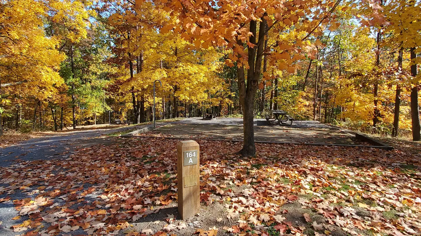 Seven PointsLake fishing8.6 mi
 Seven Points (pa)CampingPhoto: Recreation.gov (RIDB) / public domain8.6 mi
Source: Roamze catalog (indexable pages within 10 miles, PostGIS distance)
 Clarks KnobSummit · ~35 min drivePhoto: Calzarette at en.wikipedia, Public domain (via Wikimedia Commons)
 Big MountainSummit · ~41 min drivePhoto: Calzarette at en.wikipedia, Public domain (via Wikimedia Commons)
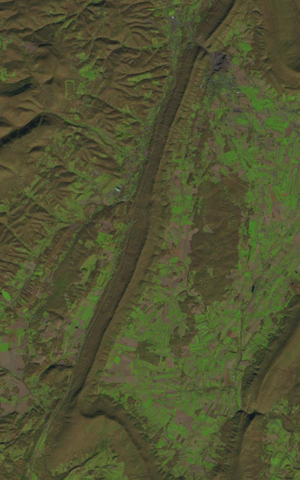 Dunning MountainSummit · ~44 min drivePhoto: James Stuby based on USGS/Landsat image, Public domain (via Wikimedia Commons)
 Blue KnobSummit · ~54 min drivePhoto: Calzarette, CC BY 3.0 (via Wikimedia Commons)
 High RockSummit · ~1h 21m drivePhoto: Acroterion, CC BY-SA 4.0 (via Wikimedia Commons)
 Savage MountainSummit · ~1h 25m drivePhoto: Nyttend, Public domain (via Wikimedia Commons)
- Horse KnobSummit · ~13 min drive
- Terrace MountainSummit · ~13 min drive
- Knob MountainSummit · ~27 min drive
- Rising MountainSummit · ~29 min drive
Best time to visit Butler Knob
Best months: June–October. Best months have typical highs of 55–85 °F, lows of 30 °F or warmer (32 °F where the station doesn't record snow), at most one snowy day and no more than 12 wet days.
Jan
37° / 21°
11 wet
Feb
40° / 22°
9 wet
Mar
49° / 29°
11 wet
Apr
61° / 40°
13 wet
May
72° / 50°
14 wet
Jun
80° / 58°
12 wet
Jul
85° / 63°
12 wet
Aug
84° / 62°
12 wet
Sep
76° / 55°
11 wet
Oct
64° / 44°
11 wet
Nov
52° / 34°
10 wet
Dec
41° / 27°
11 wet
Typical high / low (°F) and days with rain or snow, 1991–2020. Measured at Raystown Lake 2, PA, 8.4 mi away at 1,000 ft. The station sits about 1,300 ft lower than this place, so expect it a little cooler here. This station doesn't record snowfall. Source: NOAA NCEI U.S. Climate Normals 1991–2020.

