North Trail Lower Loop
- 1.5 mi
- round trip
- 435 ft
- climb
- 1,421 ft
- high point
- Out and back
- route
North Trail Lower Loop is an easy, rolling out-and-back hike of about 3 miles in Big Pocono State Park in Pennsylvania, managed by State Park and Recreation. The trail starts and ends at roughly 1,421 feet, with a high point of 1,421 feet and a low of 1,269 feet along the way. The total elevation gain is about 435 feet, and the steepest stretch comes at about 0.78 miles in, with an 8% grade. Summer is the most comfortable time to go. Typical averages from a nearby weather station at Mt Pocono Mountains show July highs around 78°F and lows near 58°F, while winter highs stay around 30°F. The hike takes about an hour. North Trail lies about 0.7 miles away, and South Trail is about 2 miles off. Cranberry Bog Loop and Red Rock Trail are both within about 5 miles.
- North TrailHiking0.7 mi
 South TrailHikingPhoto: sarahkaza, CC BY 3.0 (via Wikimedia Commons)2 mi
- Cranberry Bog LoopHiking3.8 mi
 Red Rock TrailHikingPhoto: Nicholas A. Tonelli from Pennsylvania, USA, CC BY 2.0 (via Wikimedia Commons)5.2 mi
- Brodhead CreekRiver fishing5.8 mi
- McMichael CreekCanoeing6.4 mi
- Field LoopMountain biking7 mi
- Brodhead Creek TrailHiking7.2 mi
Source: Roamze catalog (indexable pages within 10 miles, PostGIS distance)
- South TrailHiking · ~3 min drivePhoto: sarahkaza, CC BY 3.0 (via Wikimedia Commons)
- Red Rock TrailHiking · ~9 min drivePhoto: Nicholas A. Tonelli from Pennsylvania, USA, CC BY 2.0 (via Wikimedia Commons)
 Karamac One Mile Rail Trail (New York Susquehana and Western R.R. 1881 - 1940)Hiking · ~19 min drivePhoto: Nicholas A. Tonelli from Pennsylvania, USA, CC BY 2.0 (via Wikimedia Commons)
 Pocono Heritage Land Trust TrailHiking · ~16 min drivePhoto: Nicholas A. Tonelli from Pennsylvania, USA, CC BY 2.0 (via Wikimedia Commons)
 Red Dot TrailHiking · ~20 min drivePhoto: estro, CC BY-SA 2.0 (via Flickr)
 Front Nine TrailHiking · ~17 min drivePhoto: Nicholas A. Tonelli from Pennsylvania, USA, CC BY 2.0 (via Wikimedia Commons)
- Dunnfield Creek TrailHiking · ~21 min drivePhoto: estro, CC BY-SA 2.0 (via Flickr)
- Back Nine TrailHiking · ~17 min drivePhoto: Nicholas A. Tonelli from Pennsylvania, USA, CC BY 2.0 (via Wikimedia Commons)
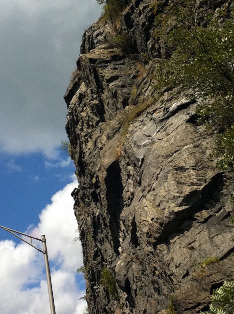 Blue Blaze TrailHiking · ~22 min drivePhoto: joeymanley, CC BY-SA 2.0 (via Flickr)
- Back Nine TrailHiking · ~17 min drivePhoto: Nicholas A. Tonelli from Pennsylvania, USA, CC BY 2.0 (via Wikimedia Commons)
Best time to visit North Trail Lower Loop
No month here meets our mild-weather rule. Best months have typical highs of 55–85 °F, lows of 30 °F or warmer (32 °F where the station doesn't record snow), at most one snowy day and no more than 12 wet days.
Jan
30° / 15°
12 wet
Feb
33° / 17°
11 wet
Mar
41° / 24°
13 wet
Apr
55° / 34°
14 wet
May
65° / 45°
16 wet
Jun
73° / 53°
15 wet
Jul
78° / 58°
15 wet
Aug
76° / 56°
15 wet
Sep
69° / 50°
14 wet
Oct
57° / 39°
13 wet
Nov
46° / 30°
12 wet
Dec
35° / 21°
12 wet
Typical high / low (°F) and days with rain or snow, 1991–2020. Measured at Mt Pocono Mountains Ap, PA, 7 mi away at 1,916 ft. This station doesn't record snowfall. Source: NOAA NCEI U.S. Climate Normals 1991–2020.
Map and trail data © OpenStreetMap contributors
