Red Rock Trail
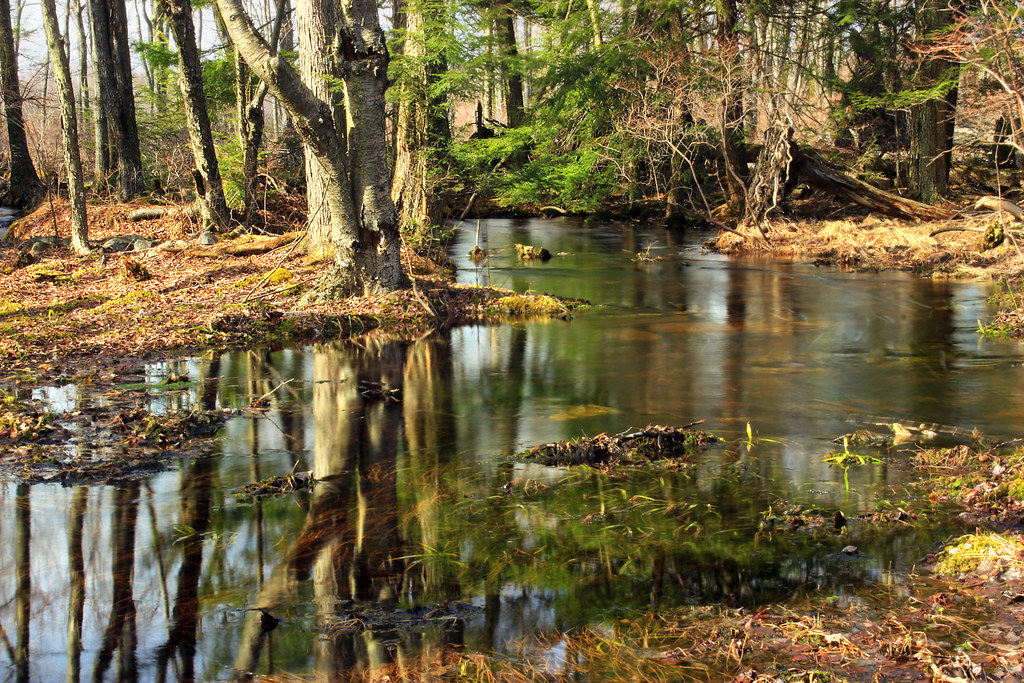
 Photo: Nicholas A. Tonelli from Pennsylvania, USA, CC BY 2.0 (via Wikimedia Commons)
- 1.2 mi
- loop
- 210 ft
- climb
- 1,250 ft
- high point
- Loop
- route
Red Rock Trail is a short, easy hike in Pennsylvania, about a mile long and rising roughly 210 feet from a low point of 1,135 feet to a high of 1,250 feet. The nearest town is Paradise Valley, less than a mile away. The trail is a gentle climb, with the steepest stretch at about 0.8 miles in, where the grade reaches 8 percent. The total elevation gain is 210 feet, and the route is estimated to take about half an hour. Summer is the most comfortable time to go. Typical averages from a nearby weather station at Mt Pocono show July highs around 78°F with lows near 58°F, while winter highs stay in the 30s. Nearby options include Laurel Run Trail, about 4 miles away, and Cranberry Bog Loop at about 5 miles. Brodhead Creek, a fishing spot, is about 6 miles off, and the North Trail is about 5.5 miles away.
- Laurel Run TrailHiking3.8 mi
- Cranberry Bog LoopHiking5 mi
- North Trail Lower LoopHiking5.2 mi
- Blue TrailHiking5.4 mi
- North TrailHiking5.5 mi
- Brodhead CreekRiver fishing5.7 mi
 South TrailHikingPhoto: sarahkaza, CC BY 3.0 (via Wikimedia Commons)6.2 mi
- Red Hiking TrailHiking8.2 mi
Source: Roamze catalog (indexable pages within 10 miles, PostGIS distance)
- South TrailHiking · ~11 min drivePhoto: sarahkaza, CC BY 3.0 (via Wikimedia Commons)
 Fitness TrailHiking · ~15 min drivePhoto: Reparallax, CC BY-SA 4.0 (via Wikimedia Commons)
- Thunder Swamp TrailHiking · ~17 min drive
- North TrailHiking · ~9 min drive
 Blue Hiking TrailHiking · ~15 min drivePhoto: Nicholas_T, CC BY 2.0 (via Flickr)
- Range TrailHiking · ~16 min drive
 Skytop Mount TrailHiking · ~16 min drivePhoto: Apuch, CC BY-SA 2.0 (via Flickr)
- Frank Gantz TrailHiking · ~17 min drive
 Lakeside Trail (Blue)Hiking · ~17 min drivePhoto: Nicholas_T, CC BY 2.0 (via Flickr)
- Goose Pond TrailHiking · ~19 min drive
Best time to visit Red Rock Trail
No month here meets our mild-weather rule. Best months have typical highs of 55–85 °F, lows of 30 °F or warmer (32 °F where the station doesn't record snow), at most one snowy day and no more than 12 wet days.
Jan
30° / 15°
12 wet
Feb
33° / 17°
11 wet
Mar
41° / 24°
13 wet
Apr
55° / 34°
14 wet
May
65° / 45°
16 wet
Jun
73° / 53°
15 wet
Jul
78° / 58°
15 wet
Aug
76° / 56°
15 wet
Sep
69° / 50°
14 wet
Oct
57° / 39°
13 wet
Nov
46° / 30°
12 wet
Dec
35° / 21°
12 wet
Typical high / low (°F) and days with rain or snow, 1991–2020. Measured at Mt Pocono Mountains Ap, PA, 4.9 mi away at 1,916 ft. The station sits about 700 ft higher than this place, so expect it a little warmer here. This station doesn't record snowfall. Source: NOAA NCEI U.S. Climate Normals 1991–2020.
Map and trail data © OpenStreetMap contributors
