Camp Dina
Campground
Campground · 2.1 mi from the trail
 Photo: Nicholas A. Tonelli from Pennsylvania, USA, CC BY 2.0 (via Wikimedia Commons)
Back Nine Trail is a short, easy loop in Pennsylvania's Cherry Valley National Wildlife Refuge, managed by the U.S. Fish and Wildlife Service. The trail is 0.39 miles long, with a total elevation gain of 137 feet, and it starts and ends at nearly the same elevation, around 415 feet. The highest point on the loop reaches 427 feet, and the steepest stretch comes at about 0.21 miles in, with a grade of about 4 percent. The most comfortable months for a visit are typically late spring and early fall. Typical averages from a nearby weather station in E Stroudsburg run from highs around 72°F in May to about 75°F in September, with July the warmest at about 84°F. The Front Nine Trail lies just 0.2 miles away, and the Pocono Heritage Land Trust Trail is about 0.7 miles off. For a longer outing, the Godfrey Ridge Lower Trail is about 1.1 miles away. Across the state line in New Jersey, the Mount Minsi climbing area is roughly 2.7 miles from the trail.
Camp Dina
Campground
Thai Thani
Restaurant
 If it rainsJerrye & Roy Klotz, MD, CC BY-SA 3.0 · Wikimedia Commons
Places © OpenStreetMap contributors · Photos: Jerrye & Roy Klotz, MD, CC BY-SA 3.0 (commons)
More in HackettstownFront Nine TrailHikingPhoto: Nicholas A. Tonelli from Pennsylvania, USA, CC BY 2.0 (via Wikimedia Commons)0.2 mi Pocono Heritage Land Trust TrailHikingPhoto: Nicholas A. Tonelli from Pennsylvania, USA, CC BY 2.0 (via Wikimedia Commons)0.7 mi
 h. High WallRock climbingPhoto: Famartin, CC BY-SA 3.0 (via Wikimedia Commons)2.6 miMount MinsiRock climbingPhoto: Famartin, CC BY-SA 3.0 (via Wikimedia Commons)2.7 mi
 f. Land of the GiantsRock climbingPhoto: Famartin, CC BY-SA 3.0 (via Wikimedia Commons)2.7 mi
Source: Roamze catalog (indexable pages within 10 miles, PostGIS distance)
Front Nine TrailHiking · Next doorPhoto: Nicholas A. Tonelli from Pennsylvania, USA, CC BY 2.0 (via Wikimedia Commons) Red Dot TrailHiking · ~4 min drivePhoto: estro, CC BY-SA 2.0 (via Flickr)Back Nine TrailHiking · Next doorPhoto: Nicholas A. Tonelli from Pennsylvania, USA, CC BY 2.0 (via Wikimedia Commons)
 Karamac One Mile Rail Trail (New York Susquehana and Western R.R. 1881 - 1940)Hiking · ~5 min drivePhoto: Nicholas A. Tonelli from Pennsylvania, USA, CC BY 2.0 (via Wikimedia Commons)Pocono Heritage Land Trust TrailHiking · ~1 min drivePhoto: Nicholas A. Tonelli from Pennsylvania, USA, CC BY 2.0 (via Wikimedia Commons)
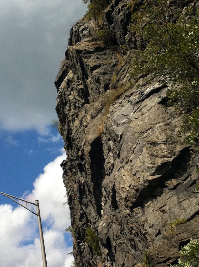 Blue Blaze TrailHiking · ~6 min drivePhoto: joeymanley, CC BY-SA 2.0 (via Flickr)Farview TrailHiking · ~5 min drivePhoto: Nicholas A. Tonelli from Pennsylvania, USA, CC BY 2.0 (via Wikimedia Commons)Dunnfield Creek TrailHiking · ~6 min drivePhoto: estro, CC BY-SA 2.0 (via Flickr)Holly Springs TrailHiking · ~6 min drivePhoto: estro, CC BY-SA 2.0 (via Flickr)
 Douglas TrailHiking · ~8 min drivePhoto: philipmatarese, CC BY 2.0 (via Flickr)
Best months: April and June–October. Best months have typical highs of 55–85 °F, lows of 30 °F or warmer (32 °F where the station doesn't record snow), at most one snowy day and no more than 12 wet days.
Jan
36° / 19°
13 wet
Feb
39° / 21°
11 wet
Mar
48° / 28°
12 wet
Apr
62° / 37°
12 wet
May
72° / 47°
14 wet
Jun
80° / 56°
12 wet
Jul
84° / 61°
12 wet
Aug
82° / 59°
12 wet
Sep
75° / 52°
10 wet
Oct
63° / 40°
12 wet
Nov
51° / 32°
11 wet
Dec
40° / 24°
12 wet
Typical high / low (°F) and days with rain or snow, 1991–2020. Measured at E Stroudsburg, PA, 3.7 mi away at 471 ft. This station doesn't record snowfall. Source: NOAA NCEI U.S. Climate Normals 1991–2020.
Map and trail data © OpenStreetMap contributors

