Jrembt - Tuttletown
- 4.4 mi
- round trip
- 532 ft
- climb
- 2,066 ft
- high point
- Out and back
- route
- Aug–Sep
- best months
Is Jrembt - Tuttletown open right now?
Closure in the area
There's a closure order in Allegheny National Forest. It doesn't name Jrembt - Tuttletown, so check the source for the area it covers (3 listed).
Supervisor's Office Temporarily Closed
Agency closure covering Allegheny National Forest · USFS · Allegheny National Forest
Road Closure on Forest Road 154 for Bridge Replacement
Agency closure covering Allegheny National Forest · USFS · Allegheny National Forest
Kane Fields Area Closures
Agency closure covering Allegheny National Forest · Order 09-19-26-001 · USFS · Allegheny National Forest
Forest Order 09-19-11-01 Nansen Area Closure
Agency alert covering Allegheny National Forest · Order 09-19-11-01 · USFS · Allegheny National Forest
As of · Source: USFS · Allegheny National Forest. Agencies don't list every closure — check before you go.
Jrembt - Tuttletown is a 4.4-mile out-and-back hike in the Bradford Ranger District of Pennsylvania's Allegheny National Forest, managed by the Forest Service. The trail starts at about 2,026 feet and reaches a high point of 2,066 feet, with the steepest stretch at about 1.4 miles in, where the grade reaches 6%. The climb is moderate, with a total elevation gain of 116 feet. The trail is natural-surfaced and allows bikes, but horses are not permitted. It is open year-round, and the surrounding area offers several other options within a short drive. The Jrembt - Cornplanter Loop and Jrembt - Deerfoot hikes both sit about 0.3 miles away. Allegheny Reservoir, about 1.4 miles off, is a fishing spot, and Dewdrop campground is about 1.5 miles away.
- Jrembt - Cornplanter LoopHiking0.3 mi
- Jrembt - DeerfootHiking0.3 mi
- Allegheny ReservoirLake fishing1.4 mi
 DewdropCampingPhoto: Recreation.gov (RIDB) / public domain1.5 mi
- Dewdrop Rec AreaCamping1.5 mi
- Rim RockRock climbing1.8 mi
- Rim Rock BoulderingRock climbing1.8 mi
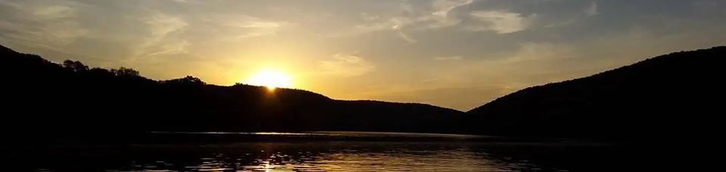 Red BridgeLake fishing6.9 mi
Source: Roamze catalog (indexable pages within 10 miles, PostGIS distance)
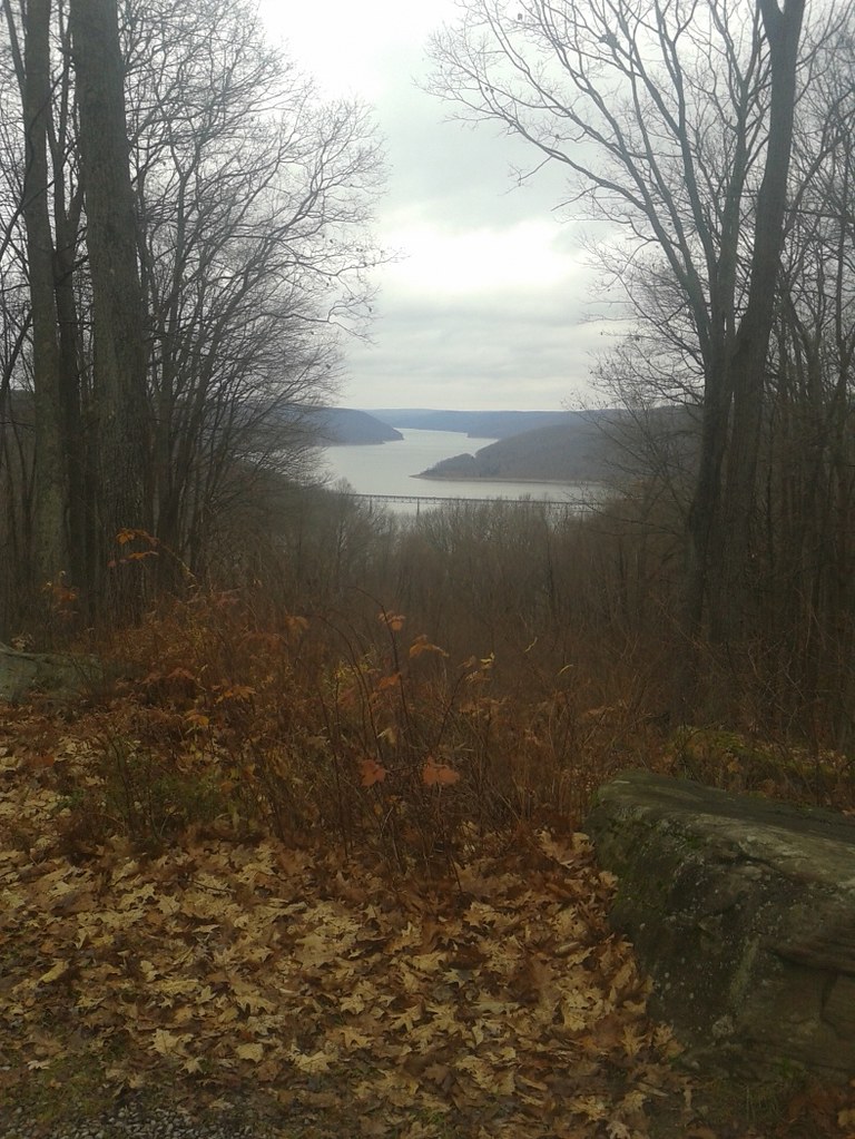 Jrembt - VulpesHiking · ~1 min drivePhoto: andyarthur, CC BY 2.0 (via Flickr)
 Jrembt - BlacksnakeHiking · ~1 min drivePhoto: Andy Arthur on Flickr, CC BY 2.0 (via Wikimedia Commons)
- Rimrock Hiking LoopHiking · ~7 min drive
- Sugar RunHiking · ~9 min drive
- Jrembt - Kinzua PointHiking · ~1 min drive
- Jrembt - SenecaHiking · ~2 min drivePhoto: Andy Arthur on Flickr, CC BY 2.0 (via Wikimedia Commons)
- Robert Frost Interpretive - New YorkHiking · ~10 min drive
- Jrembt - Devils DropHiking · ~1 min drive
 Jrembt - Bent RunHiking · ~2 min drivePhoto: Photo taken by the staff of the Chief Cornplanter Council.
Original uploader was Kjbsa at en.wikipedia, CC BY-SA 3.0 (via Wikimedia Commons)
- Kinzua ValleyHiking · ~13 min drive
Best time to visit Jrembt - Tuttletown
Best months: August–September. Best months have typical highs of 55–85 °F, lows of 30 °F or warmer (32 °F where the station doesn't record snow), at most one snowy day and no more than 12 wet days.
Jan
33° / 18°
18 wet
Feb
35° / 18°
15 wet
Mar
44° / 24°
15 wet
Apr
58° / 34°
15 wet
May
70° / 45°
15 wet
Jun
77° / 54°
13 wet
Jul
81° / 59°
13 wet
Aug
80° / 58°
12 wet
Sep
74° / 52°
12 wet
Oct
61° / 41°
15 wet
Nov
48° / 32°
16 wet
Dec
37° / 24°
18 wet
Typical high / low (°F) and days with rain or snow, 1991–2020. Measured at Warren, PA, 8.7 mi away at 1,210 ft. The station sits about 900 ft lower than this place, so expect it a little cooler here. This station doesn't record snowfall. Source: NOAA NCEI U.S. Climate Normals 1991–2020.
