Jrembt - Devils Drop
- 1.8 mi
- loop
- 1,747 ft
- high point
- Loop
- route
- Easy
- difficulty
- Aug–Sep
- best months
Is Jrembt - Devils Drop open right now?
Closure in the area
There's a closure order in Allegheny National Forest. It doesn't name Jrembt - Devils Drop, so check the source for the area it covers (3 listed).
ACTIVE: Tracy Run Wildfire
Agency closure covering Allegheny National Forest · USFS · Allegheny National Forest
Road Closure on Forest Road 154 for Bridge Replacement
Agency closure covering Allegheny National Forest · USFS · Allegheny National Forest
Kane Fields Area Closures
Agency closure covering Allegheny National Forest · Order 09-19-26-001 · USFS · Allegheny National Forest
Forest Order 09-19-11-01 Nansen Area Closure
Agency alert covering Allegheny National Forest · Order 09-19-11-01 · USFS · Allegheny National Forest
As of · Source: USFS · Allegheny National Forest. Agencies don't list every closure — check before you go.
Jrembt - Devils Drop is a 1.8-mile loop trail in the Bradford Ranger District of Pennsylvania's Allegheny National Forest. The Forest Service manages the land, and the trail is rated easy. The route is a loop, so you can start and end at the same point. A natural surface makes it a straightforward walk, and the trail is open to bikes. Horses are not allowed. Summer is the most comfortable time to go. Typical averages from the nearby Warren weather station run to highs around 81°F in July, with September still reaching about 74°F. That station sits roughly 500 feet lower than the trail, so temperatures on the loop run somewhat cooler. Other outings start close by. Jrembt - Ohi:yo Way and Jrembt - Laurel are each about 0.1 mile away. Old State Road Campground is about 1.4 miles off, and Rim Rock, a climbing area, is about 1.5 miles away.
Best time to go · Aug–Sep
Best time to visit Jrembt - Devils Drop
Best months: August–September. Best months have typical highs of 55–85 °F, lows of 30 °F or warmer (32 °F where the station doesn't record snow), at most one snowy day and no more than 12 wet days.
Jan
33° / 18°
18 wet
Feb
35° / 18°
15 wet
Mar
44° / 24°
15 wet
Apr
58° / 34°
15 wet
May
70° / 45°
15 wet
Jun
77° / 54°
13 wet
Jul
81° / 59°
13 wet
Aug
80° / 58°
12 wet
Sep
74° / 52°
12 wet
Oct
61° / 41°
15 wet
Nov
48° / 32°
16 wet
Dec
37° / 24°
18 wet
Typical high / low (°F) and days with rain or snow, 1991–2020. Measured at Warren, PA, 9.1 mi away at 1,210 ft. The station sits about 500 ft lower than this place, so expect it a little cooler here. This station doesn't record snowfall. Source: NOAA NCEI U.S. Climate Normals 1991–2020.
Keep exploring — more trails worth the drive
 Photo: Andy Arthur on Flickr, CC BY 2.0 (via Wikimedia Commons)
Jrembt - Blacksnake
Next door
Easy 1.35-mile out-and-back trail in Pennsylvania.
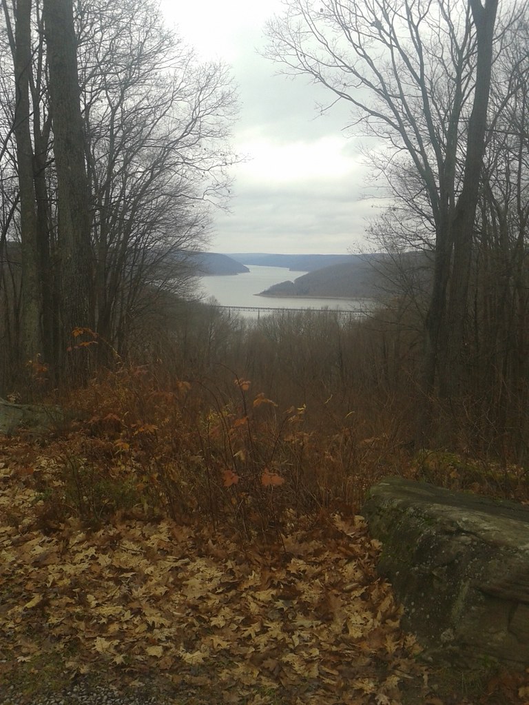 Photo: andyarthur, CC BY 2.0 (via Flickr)
Jrembt - Vulpes
~1 min drive
Easy 1.05-mile out-and-back trail in Pennsylvania.
HIKE
Jrembt - Elijah
~3 min drive
14.44-mile out-and-back trail in Pennsylvania with 836 ft elevation gain.
HIKE
Sugar Run
~8 min drive
5.96-mile out-and-back trail in Pennsylvania with 1,728 ft elevation gain.
Photo: Andy Arthur on Flickr, CC BY 2.0 (via Wikimedia Commons)Jrembt - Seneca
Next door
3.00-mile out-and-back trail in Pennsylvania with moderate difficulty.
HIKE
Jrembt - Laurel
Next door
4.66-mile out-and-back trail in Pennsylvania with 251 ft gain.
HIKE
Rimrock Hiking Loop
~6 min drive
A 14.01-mile hard out-and-back trail in Pennsylvania.
 Photo: U.S. Army Corps of Engineers, photographer not specified or unknown, Public domain (via Wikimedia Commons)
Rimrock Overlook
~2 min drive
A 2.07-mile out-and-back Pennsylvania trail with concrete, dirt, and wooden staircase surfaces, connecting to NRSR 454.
HIKE
Jrembt - Kinzua Point
Next door
Easy 1.62-mile out-and-back trail in Pennsylvania.
HIKE
Morrison Hiking Loop
~7 min drive
An easy 9.35-mile out-and-back trail in Pennsylvania perfect for casual hikers seeking a straightforward day hike.
