Pegleg Falls
- 2,038 ft
- elevation
- May–Oct
- best months
Caution today
Agency alerts are in effect for this area; weather is good · USFS, OpenWeather · checked 10 h ago
Is Pegleg Falls open right now?
Closure in the area
There's a closure order in Clackamas River Ranger District. It doesn't name Pegleg Falls, so check the source for the area it covers (2 listed).
Austin Fire Closure
Agency closure covering Clackamas River Ranger District · Order 06-06-05-26-20 · USFS · Clackamas River Ranger District
Clackamas River RD Fires
Agency closure covering Clackamas River Ranger District · Order 06-06-05-26-20 · USFS · Clackamas River Ranger District
Tamanawas Falls Trail closed due to instability hazards
Agency alert covering Mt. Hood National Forest · USFS · Mt. Hood National Forest
Emergency fire closure on FR 57
Agency alert covering Clackamas River Ranger District · USFS · Clackamas River Ranger District
Eagle Creek Fire Area Closures
Agency alert covering Mt. Hood National Forest · Order 06-22-01-26-04 · USFS · Mt. Hood National Forest
As of · Source: USFS · Clackamas River Ranger District. Agencies don't list every closure — check before you go.
Pegleg Falls is a waterfall in Oregon's Bull of the Woods Wilderness, within the Clackamas River Ranger District of Mt. Hood National Forest. It sits at about 2,038 feet, and the nearest town is Detroit, roughly 15 miles away. Summer is the most comfortable time to visit. Typical averages from a nearby weather station show July and August highs around 75°F with lows near 50°F, while winter highs stay in the low to mid 40s. The Bagby Trail passes just 0.4 miles from the falls, and Bagby Trail #544 is about 1.4 miles away. Paddlers can head to Hot Springs Fork, about 2.3 miles off, and Kingfisher campground is about 3.7 miles away.
- Elevation
- 2,038 ft
Elevation from USGS 3D Elevation Program terrain data (about 10 m resolution).
- Bagby TrailHiking0.4 mi
 Bagby Trail #544HikingPhoto: mjfmjfmjf, CC BY 2.0 (via Flickr)1.4 mi
- Hot Springs ForkCanoeing2.3 mi
- Nohorn CreekCanoeing2.6 mi
 KingfisherCampingPhoto: Recreation.gov (RIDB) / public domain3.7 mi
 RaabCampingPhoto: Recreation.gov (RIDB) / public domain6.6 mi
- CoethedralRock climbing8.7 mi
- Coethedral MainRock climbing8.9 mi
Source: Roamze catalog (indexable pages within 10 miles, PostGIS distance)
 Henline FallsWaterfall · ~20 min drivePhoto: Thehike675, CC BY-SA 4.0 (via Wikimedia Commons)
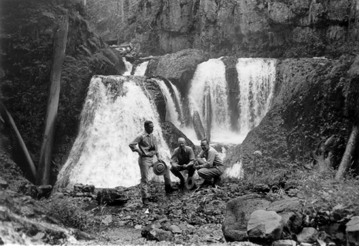 Frustration FallsWaterfall · ~41 min drivePhoto: Unknown authorUnknown author; U.S. Forest Service, Public domain (via Wikimedia Commons)
 Winter FallsWaterfall · ~41 min drivePhoto: Little Mountain 5, CC BY-SA 3.0 (via Wikimedia Commons)
 Middle North FallsWaterfall · ~41 min drivePhoto: Little Mountain 5, CC BY-SA 4.0 (via Wikimedia Commons)
 Shellburg FallsWaterfall · ~41 min drivePhoto: Jamie B., CC BY 2.0 (via Wikimedia Commons)
 Drake FallsWaterfall · ~41 min drivePhoto: Little Mountain 5, CC BY-SA 3.0 (via Wikimedia Commons)
 Lower North FallsWaterfall · ~41 min drivePhoto: Little Mountain 5, CC BY-SA 3.0 (via Wikimedia Commons)
 Lower South FallsWaterfall · ~43 min drivePhoto: Little Mountain 5, CC BY-SA 3.0 (via Wikimedia Commons)
- Sullivan Creek FallsWaterfall · ~16 min drive
- Salmon FallsWaterfall · ~23 min drive
Best time to visit Pegleg Falls
Best months: May–October. Best months have typical highs of 55–85 °F, lows of 30 °F or warmer (32 °F where the station doesn't record snow), at most one snowy day and no more than 12 wet days.
Jan
44° / 33°
Feb
46° / 33°
Mar
49° / 34°
Apr
54° / 36°
May
61° / 41°
Jun
66° / 45°
Jul
75° / 50°
Aug
75° / 51°
Sep
70° / 49°
Oct
56° / 42°
Nov
48° / 36°
Dec
42° / 33°
Typical high / low (°F) and days with rain or snow, 1991–2020. Measured at Scotts Mills 9 Se, OR, 17.8 mi away at 2,315 ft. This station doesn't record snowfall. Source: NOAA NCEI U.S. Climate Normals 1991–2020.
