Mountain · 1 route
Horsepasture Mountain
5,658 ft · Oregon
- Summit
- 5,658 ft
- Routes
- 1 way up
- Season
- Year-round
Route up Horsepasture Mountain
About Horsepasture Mountain
Horsepasture Mountain is a summit in Oregon's Willamette National Forest, within the McKenzie River Ranger District. The nearest town is Foley Springs, about 2.7 miles away. The Saddle and Horsepasture Mtn hikes both start about 0.8 miles from the summit. The East Fork South Fork McKenzie River, a canoeing route, is about 3 miles away. For an overnight stay, Limberlost Campground is roughly 4.4 miles off.
Forecast on Horsepasture Mountain
Daily highs and lows, wind and the chance of precipitation at the summit and horsepasture trailhead for the next 7 days, from the Open-Meteo model.
Questions about Horsepasture Mountain
How tall is Horsepasture Mountain?
5,658 ft (1,725 m).
How many routes go to the summit of Horsepasture Mountain?
One: Horsepasture Mtn.
Where do the routes up Horsepasture Mountain start?
Horsepasture Mtn starts at Horsepasture Trailhead (about 4,752 ft).
When is the best time to climb Horsepasture Mountain?
Year-round.
Mountains nearby
Facts about this place
Where it is
- McKenzie River Ranger District · Ranger district
- Willamette National Forest · National forest
- Nearest town
- Foley Springs, Oregon · 2.7 mi
Conditions
Active alerts for McKenzie River Ranger District as of Oct 9, 2026:
Moose and Gordon Dispersed Camping Closure
information · posted Aug 24, 2026
Camping Restrictions in Cougar Recreation Area
information · posted Aug 24, 2026
Tamolitch Parking / Trail Construction Closure
information · posted Aug 24, 2026
Terwilliger Hot Springs Nudity, Alcohol, and Closed Times
information · posted Aug 24, 2026
Source: USFS forest alerts
Nearby
- SaddleHiking0.8 mi
- Horsepasture MtnHiking0.8 mi
- East Fork South Fork McKenzie RiverCanoeing3 mi
- HORSE CREEKHiking3.1 mi
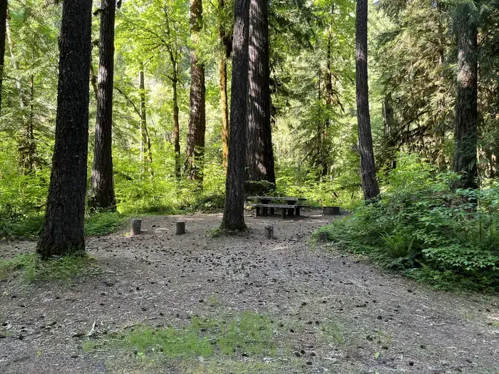 Horse Creek Group CampgroundCampingPhoto: Recreation.gov (RIDB) / public domain4.3 mi
- Limberlost CampgroundCamping4.4 mi
- McKenzie River Trailhead at Paradise CampgroundCamping4.7 mi
 French Pete CreekCanoeingPhoto: JAR, CC BY 2.0 (via Wikimedia Commons)6.8 mi
Source: Roamze catalog (indexable pages within 10 miles, PostGIS distance)
Is Horsepasture Mountain open right now?
Closure in the area
There's a closure order in Willamette National Forest. It doesn't name Horsepasture Mountain, so check the source for the area it covers.
Cedar Creek Fire Closure
Agency closure covering Willamette National Forest · Order 06-18-10-26-04 · USFS · Willamette National Forest
FIRE CLOSURES: Current wildfire closures on the Willamette National Forest
Agency alert covering Willamette National Forest · USFS · Willamette National Forest
As of · Source: USFS · Willamette National Forest. Agencies don't list every closure — check before you go.
