Bald Hill
- 758 ft
- summit
- 2
- ways up
- Jun–Sep
- best months
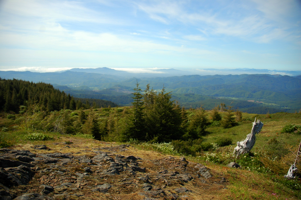
Bald Hill is a summit of 758 feet in Bald Hill Natural Area, about 2 miles from the town of Philomath, Oregon. Summer is the most comfortable time to visit. Typical averages from a nearby weather station in Corvallis show July and August highs around 82 to 83°F with only about four wet days a month, while winter months bring highs in the upper 40s and rain on most days. Several trails start close by. North Summit Trail is about 0.1 mile away, and Mardi's Meadow Interpretive Trail is about 0.2 mile away. West Summit Trail and East Summit Trail are each about 0.3 mile away.
Conditions and forecast
Daily highs and lows, wind and the chance of precipitation at the summit and route start for the next 7 days, from the Open-Meteo model.
- Summit elevation
- 758 ft
Elevation from USGS 3D Elevation Program terrain data (about 10 m resolution).
- West Summit TrailEasyabout 391 ft of climbing0.7 mi round trip
- East Summit TrailEasyabout 715 ft of climbing1.6 mi round trip
Compare the routes West Summit Trail East Summit Trail Climbing About 391 ft About 715 ft Round trip 0.7 mi 1.6 mi Difficulty Easy Easy Terrain Hike Hike Map © Mapbox © OpenStreetMap contributors Questions about Bald Hill
How tall is Bald Hill?
758 ft (231 m).
How many routes go to the summit of Bald Hill?
2: West Summit Trail and East Summit Trail.
What is the shortest route up Bald Hill?
West Summit Trail, about 0.7 mi round trip.
- Dimple Hill1,499 ft · Oregon1 route3.5 mi away
- Vineyard Mountain1,481 ft · Oregon1 route6.0 mi away
- Price Peak1,938 ft · Oregon1 route6.4 mi away
- Hospital Hill464 ft · Oregon1 route8.9 mi away
- Marys Peak4,103 ft · Oregon2 routes12 mi away
 Mount Baldy414 ft · Oregon1 route28 mi awayPhoto: M.O. Stevens, Public domain (via Wikimedia Commons)
- North Summit TrailHiking0.1 mi
- Mardi's Meadow Interpretive TrailHiking0.2 mi
- West Summit TrailHiking0.3 mi
- East Summit TrailHiking0.3 mi
- East Channel Willamette RiverCanoeing4.6 mi
- Greasy CreekCanoeing6.5 mi
- Beaver CreekCanoeing8.3 mi
- Muddy CreekCanoeing9.2 mi
Source: Roamze catalog (indexable pages within 10 miles, PostGIS distance)
 Coffin ButteSummit · ~18 min drivePhoto: Bigcran, CC BY-SA 4.0 (via Wikimedia Commons)
- Mount BaldySummit · ~47 min drivePhoto: M.O. Stevens, Public domain (via Wikimedia Commons)
 Mount HeboSummit · ~1h 24m drivePhoto: Ennetws, Public domain (via Wikimedia Commons)
- Dimple HillSummit · ~6 min drive
- Vineyard MountainSummit · ~10 min drive
- Price PeakSummit · ~11 min drive
- Hospital HillSummit · ~15 min drive
- Marys PeakSummit · ~20 min drive
- Pigeon ButteSummit · ~20 min drive
- Spencer ButteSummit · ~1h 12m drive
Best time to visit Bald Hill
Best months: June–September. Best months have typical highs of 55–85 °F, lows of 30 °F or warmer (32 °F where the station doesn't record snow), at most one snowy day and no more than 12 wet days.
Jan
47° / 28°
21 wet
Feb
51° / 28°
18 wet
Mar
56° / 31°
21 wet
Apr
61° / 33°
18 wet
May
69° / 39°
14 wet
Jun
74° / 43°
9 wet
Jul
82° / 46°
4 wet
Aug
83° / 46°
4 wet
Sep
77° / 42°
8 wet
Oct
65° / 36°
15 wet
Nov
53° / 31°
20 wet
Dec
46° / 28°
22 wet
Typical high / low (°F) and days with rain or snow, 1991–2020. Measured at Corvallis Water Bureau, OR, 7.3 mi away at 592 ft. This station doesn't record snowfall. Source: NOAA NCEI U.S. Climate Normals 1991–2020.

