
Tumalo State Park
About
Tumalo State Park is a 341-acre state park in central Oregon, about 2.6 miles from the town of Tumalo. It is managed by the state park agency, and the park holds one campground, making it a compact base for exploring the surrounding trails and river. Summer is the most comfortable time to visit. Typical averages from the nearby Bend weather station show July highs around 84°F with lows near 49°F, while winter brings highs in the low 40s and a few snowy days each month. Several trails start close by. The Deschutes River Trail is just 0.4 miles away, and the Canyon Loop Trail and Juniper Loop Trail are both within about a mile and a half. Paddlers can reach the Deschutes River about 3.4 miles off.
Park size
341 acres
Inside this park
Campgrounds
Location
Tumalo State Park
Oregon
Data source: USGS PAD-US 4.1 (Protected Areas Database, public domain)
Facts about this place
When to go
Best time to go: May–Oct. The mildest months here, with typical highs of 63–84°F and lows of 34–49°F.
Typical monthly averages (not a forecast) from the Bend, OR weather station, 4.9 mi away. High / low in °F, and days with snow.
- Jan43° high25° low4 days with snow
- Feb46° high24° low3 days with snow
- Mar52° high28° low1 days with snow
- Apr58° high31° low1 days with snow
- May66° high37° low
- Jun74° high42° low
- Jul84° high49° low
- Aug83° high48° low
- Sep76° high41° low
- Oct63° high34° low
- Nov49° high28° low2 days with snow
- Dec41° high23° low4 days with snow
Where it is
- Tumalo State Park · State park
- Nearest town
- Tumalo, Oregon · 2.6 mi
- Managed by
- City Land
Nearby
- Deschutes River TrailHiking0.4 mi
- Canyon Loop TrailHiking1.3 mi
- Juniper Loop TrailHiking1.5 mi
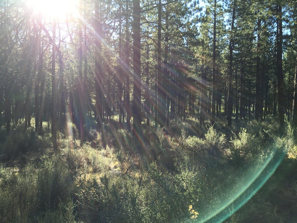 Tumalo Creek TrailHikingPhoto: igb, CC BY 2.0 (via Flickr)2.6 mi
- Deschutes RiverCanoeing3.4 mi
- Bend AreaRock climbing4.1 mi
- The PitRock climbing5.3 mi
- The MBV BouldersRock climbing6 mi
Source: Roamze catalog (indexable pages within 10 miles, PostGIS distance)
Best time to visit Tumalo State Park
Best months: April–October. Best months have typical highs of 55–85 °F, lows of 30 °F or warmer (32 °F where the station doesn't record snow), at most one snowy day and no more than 12 wet days.
Jan
43° / 25°
9 wet · 4 snow
Feb
46° / 24°
7 wet · 3 snow
Mar
52° / 28°
6 wet · 1 snow
Apr
58° / 31°
6 wet · 1 snow
May
66° / 37°
5 wet
Jun
74° / 42°
4 wet
Jul
84° / 49°
2 wet
Aug
83° / 48°
2 wet
Sep
76° / 41°
2 wet
Oct
63° / 34°
4 wet
Nov
49° / 28°
7 wet · 2 snow
Dec
41° / 23°
8 wet · 4 snow
Typical high / low (°F) and days with rain or snow, 1991–2020. Measured at Bend, OR, 4.9 mi away at 3,660 ft. We don't have this place's elevation, so higher spots nearby can run cooler. Source: NOAA NCEI U.S. Climate Normals 1991–2020.
