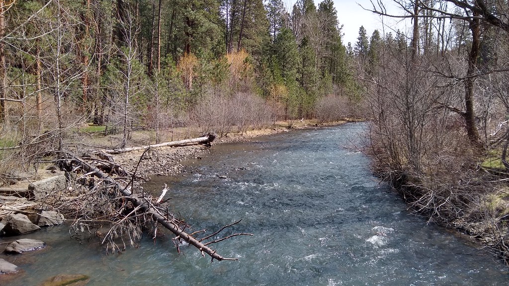
South Fork Catherine Creek
- 8.2 mi
- distance
- 6,135 ft
- high point
Is South Fork Catherine Creek open right now?
Closure in the area
There's a closure order in Wallowa-Whitman National Forest. It doesn't name South Fork Catherine Creek, so check the source for the area it covers.
Anthony Fire Area Closure
Agency closure covering Wallowa-Whitman National Forest · USFS · Wallowa-Whitman National Forest
PHASE B FIRE RESTRICTIONS WALLOW-WHITMAN NATIONAL FOREST
Agency alert covering Wallowa-Whitman National Forest · Order 06-16-00-25-01 · USFS · Wallowa-Whitman National Forest
PHASE A FIRE RESTRICTIONS Wallowa-Whitman NATIONAL FOREST
Agency alert covering Wallowa-Whitman National Forest · Order 06-16-00-25-00 · USFS · Wallowa-Whitman National Forest
As of · Source: USFS · Wallowa-Whitman National Forest. Agencies don't list every closure — check before you go.
South Fork Catherine Creek is an 8.2-mile paddling stretch near Union, Oregon, running through the La Grande Ranger District of the Wallowa-Whitman National Forest. The creek flows year-round, with a modeled average flow of about 36 cfs. Its gradient averages about 305 feet per mile, an exceptionally steep drop over the length of the run. A 14-day stay limit also applies across the forest. The South Fork Catherine Trail starts about half a mile away, and Bottle Creek Trail is roughly 1.4 miles off. For camping, Buck Creek Forest Camp and NF Catherine Creek Campground are each just under 3 miles away.
Local outfitters
- Winding Waters River Expeditions24 mi away
- Snake River Adventures26 mi away
Not on Roamze yet. Their page has how to reach them.
- South Fork Catherine TrailHiking0.6 mi
- Bottle Creek TrailHiking1.4 mi
- Old Elk Creek TrailHiking2.8 mi
- Buck Creek Forest CampCamping2.8 mi
- NF Catherine Creek CampgroundCamping2.9 mi
- No. Fork Catherine Group CampCamping3.4 mi
- North Fork Catherine CreekCanoeing5.2 mi
- Big CreekCanoeing8.8 mi
Source: Roamze catalog (indexable pages within 10 miles, PostGIS distance)
 Minam RiverCanoeing · ~16 min drivePhoto: Williamborg, CC BY-SA 3.0 (via Wikimedia Commons)
- Wallowa Lake County ParkBoat launch · ~40 min drive
 Catherine CreekCanoeing · ~26 min drivePhoto: Ian Poellet (User:Werewombat), CC BY-SA 3.0 (via Wikimedia Commons)
- Anthony Lake Boat LaunchBoat launch · ~57 min drive
 Wallowa RiverCanoeing · ~42 min drivePhoto: pfly from Pugetopolis, CC BY-SA 2.0 (via Wikimedia Commons)
- Grande Ronde Boat LaunchBoat launch · ~58 min drive
 Imnaha RiverCanoeing · ~50 min drivePhoto: Sam Beebe, CC BY 2.0 (via Wikimedia Commons)
- Minam Boat LaunchBoat launch · ~1h 2m drive
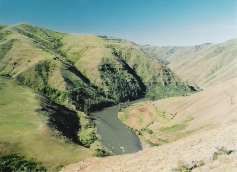 Grande Ronde RiverCanoeing · ~59 min drivePhoto: Dsdugan, Public domain (via Wikimedia Commons)
- Copperfield Boat RampBoat launch · ~1h 2m drive