Shady Cove Boat Ramp
- May–Jun, Sep–Oct
- best months
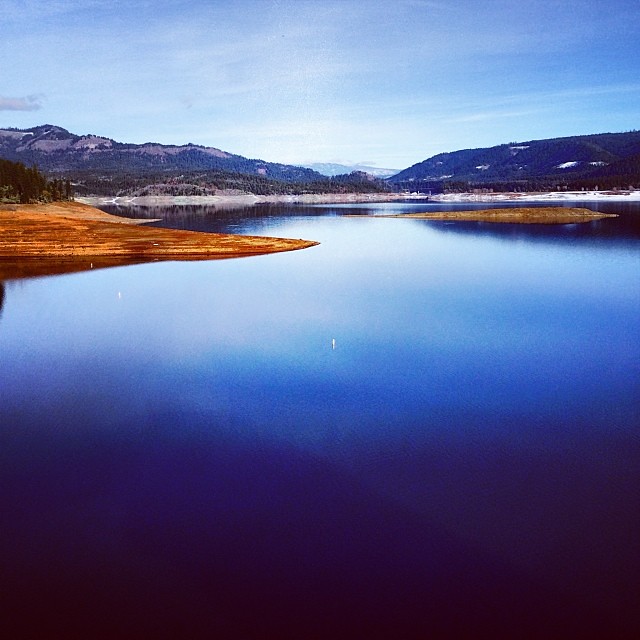
Shady Cove Boat Ramp is a boat launch in Upper Rogue Regional Park, about half a mile from the town of Shady Cove, Oregon. It serves as a put-in for boaters heading out on the water in this corner of the Rogue River country. For the most comfortable conditions, aim for late spring or early fall. Typical averages from the nearby Lost Creek Dam weather station show May highs around 72°F and September highs around 84°F, with only a few wet days in each. July and August average highs near 90°F, and winter brings frequent rain. Climbers will find several areas about 4.5 miles away, including (7)Dominator Wall, (8)Sunset Wall and (6)Rainy Day Cave. Paddlers can also look to Trail Creek, about 6.6 miles off.
- (7)Dominator WallRock climbing4.5 mi
- (8)Sunset WallRock climbing4.5 mi
- (6)Rainy Day CaveRock climbing4.5 mi
- Trail AHiking5.1 mi
- Trail CreekCanoeing6.6 mi
- Viewpoint Mike TrailHiking6.9 mi
- Yellow Rock TrailHiking8.3 mi
- Evans CreekCanoeing8.3 mi
Source: Roamze catalog (indexable pages within 10 miles, PostGIS distance)
 Little Butte CreekCanoeing · ~16 min drivePhoto: An employee of the USDA Forest Service, Public domain (via Wikimedia Commons)
- Takelma Boat RampBoat launch · ~5 min drive
 Elk CreekCanoeing · ~27 min drivePhoto: Little Mountain 5, CC BY-SA 3.0 (via Wikimedia Commons)
- Rogue Elk Boat RampBoat launch · ~8 min drive
 Bear CreekCanoeing · ~43 min drivePhoto: ZabMilenko at English Wikipedia, Public domain (via Wikimedia Commons)
- Dodge Bridge BoatrampBoat launch · ~11 min drive
 Grave CreekCanoeing · ~47 min drivePhoto: James Norman, Photographer, Public domain (via Wikimedia Commons)
- Casey Park Boat RampBoat launch · ~11 min drive
- Trail CreekCanoeing · ~11 min drive
- Cole Rivers Hatchery Boat RampBoat launch · ~13 min drive
Best time to visit Shady Cove Boat Ramp
Best months: May–June and September–October. Best months have typical highs of 55–85 °F, lows of 30 °F or warmer (32 °F where the station doesn't record snow), at most one snowy day and no more than 12 wet days.
Jan
49° / 31°
17 wet
Feb
54° / 31°
14 wet
Mar
59° / 34°
16 wet
Apr
63° / 37°
14 wet
May
72° / 43°
10 wet
Jun
80° / 47°
6 wet
Jul
90° / 52°
3 wet
Aug
90° / 51°
2 wet
Sep
84° / 45°
4 wet
Oct
70° / 38°
9 wet
Nov
55° / 34°
15 wet
Dec
47° / 31°
18 wet
Typical high / low (°F) and days with rain or snow, 1991–2020. Measured at Lost Creek Dam, OR, 8.2 mi away at 1,580 ft. Source: NOAA NCEI U.S. Climate Normals 1991–2020.
Map and trail data © OpenStreetMap contributors
