Rock Creek
- 5.5 mi
- distance
- 250 ft
- high point
- Jan, Apr–Nov
- best months
Rock Creek is a canoeing destination in Oregon, about 2 miles from the small community of Logsden. The place is a paddling spot rather than a route with a set climb, so there is no elevation gain to plan for. It sits among a cluster of similar waterways in this corner of the state, and the nearest paddling routes are Sam Creek, about 1.6 miles away, and Mill Creek, roughly 2.6 miles off. Summer is the mildest time to paddle here. Typical averages from a nearby weather station at Newport show July and August highs around 65 to 66°F with lows near 51°F, while winter highs stay in the mid-50s. Several other paddling routes lie within a few miles. Little Rock Creek and Big Rock Creek are each about 4.7 miles away, and the Yaquina River is about 5.5 miles off. For a change from the water, the Olalla Reservoir Trail is a hike about 9 miles away.
Local outfitters
- Coyote Rock RV Resort & Marina15 mi away
- Whale Research EcoExcursions16 mi away
Not on Roamze yet. Their page has how to reach them.
- Sam CreekCanoeing1.6 mi
- Mill CreekCanoeing2.6 mi
- Little Rock CreekCanoeing4.7 mi
- Big Rock CreekCanoeing4.7 mi
 Yaquina RiverCanoeingPhoto: Bob Heims, U.S. Army Corps of Engineers, Public domain (via Wikimedia Commons)5.5 mi
- Sunshine CreekCanoeing5.6 mi
- Little Elk CreekCanoeing7.4 mi
- Olalla Reservoir TrailHiking9 mi
Source: Roamze catalog (indexable pages within 10 miles, PostGIS distance)
- Yaquina RiverCanoeing · ~9 min drivePhoto: Bob Heims, U.S. Army Corps of Engineers, Public domain (via Wikimedia Commons)
- Twin Bridges Memorial Park Boat LaunchBoat launch · ~7 min drive
 Siletz RiverCanoeing · ~18 min drivePhoto: Becherka, Public domain (via Wikimedia Commons)
- Port of Toledo Boat LaunchBoat launch · ~22 min drive
 Luckiamute RiverCanoeing · ~18 min drivePhoto: M.O. Stevens, Public domain (via Wikimedia Commons)
 Marys RiverCanoeing · ~22 min drivePhoto: Finetooth, CC BY-SA 3.0 (via Wikimedia Commons)
 Ritner CreekCanoeing · ~23 min drivePhoto: Steven Fine, CC BY-SA 4.0 (via Wikimedia Commons)
 Little Luckiamute RiverCanoeing · ~27 min drivePhoto: Ian Sane, CC BY 2.0 (via Wikimedia Commons)
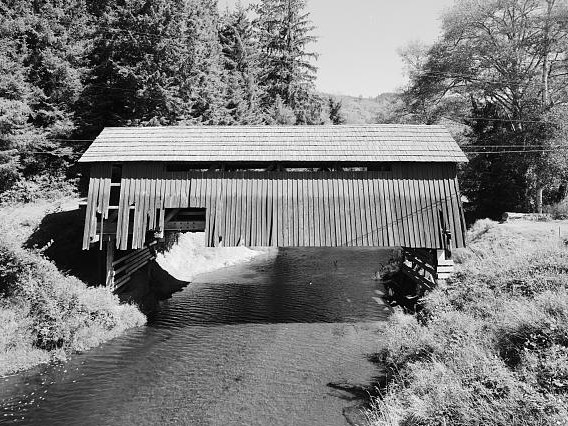 Drift CreekCanoeing · ~25 min drivePhoto: Unknown author, Public domain (via Wikimedia Commons)
- Sam CreekCanoeing · ~3 min drive
Best time to visit Rock Creek
Best months: January and April–November. Best months have typical highs of 55–85 °F, lows of 30 °F or warmer (32 °F where the station doesn't record snow), at most one snowy day and no more than 12 wet days.
Jan
55° / 42°
Feb
54° / 41°
Mar
54° / 41°
Apr
56° / 42°
May
59° / 46°
Jun
62° / 49°
Jul
65° / 51°
Aug
66° / 51°
Sep
66° / 49°
Oct
62° / 47°
Nov
56° / 45°
Dec
53° / 42°
Typical high / low (°F) and days with rain or snow, 1991–2020. Measured at Newport 3n, OR, 14.9 mi away at 220 ft. This station doesn't record snowfall. Source: NOAA NCEI U.S. Climate Normals 1991–2020.
