South Shore Boat Ramp
Is South Shore Boat Ramp open right now?
Alert in the area
The Forest Service lists 6 alerts for Umpqua National Forest.
Tuttle Creek Road Closure
Agency alert covering Umpqua National Forest · USFS · Umpqua National Forest
Fall Prescribed Burning
Agency alert covering Diamond Lake Ranger District · USFS · Diamond Lake Ranger District
Fall Prescribed Burning
Agency alert covering Umpqua National Forest · USFS · Umpqua National Forest
Poole Creek Campground Closed for the 2026 Season
Agency alert covering Umpqua National Forest · USFS · Umpqua National Forest
National Forest Service Road 28 Roadwork
Agency alert covering Umpqua National Forest · USFS · Umpqua National Forest
As of · Source: USFS · Umpqua National Forest. Agencies don't list every closure — check before you go.
South Shore Boat Ramp is a boat launch in the Diamond Lake Ranger District of Oregon's Umpqua National Forest, about 17 miles from the community of Beaver Marsh. It is a day-use site with flush toilets, and a fee applies for each visit. Day use costs $5 per vehicle per day, or $30 for an annual pass. The amenities are simple, and the site sits right beside several campgrounds, making it easy to pair a launch with an overnight stay. Summer is the most comfortable time to visit. Typical averages from a nearby weather station show July and August highs around 79°F with only about four wet days a month, while winter brings highs in the upper 30s and regular snow days. South Shore Hiker/Biker Camp and South Shore Pavilion are both about 0.1 mile away, and Broken Arrow Campground is about 0.3 mile off. Diamond Lake campground lies roughly 1.6 miles away.
- Launch type
- Boat ramp
- Fee
- Day Use: $5 per vehicle per day $30 per annual
- Restrooms
- Yes
- South Shore Hiker/Biker CampCamping0.1 mi
- South Shore PavilionCamping0.1 mi
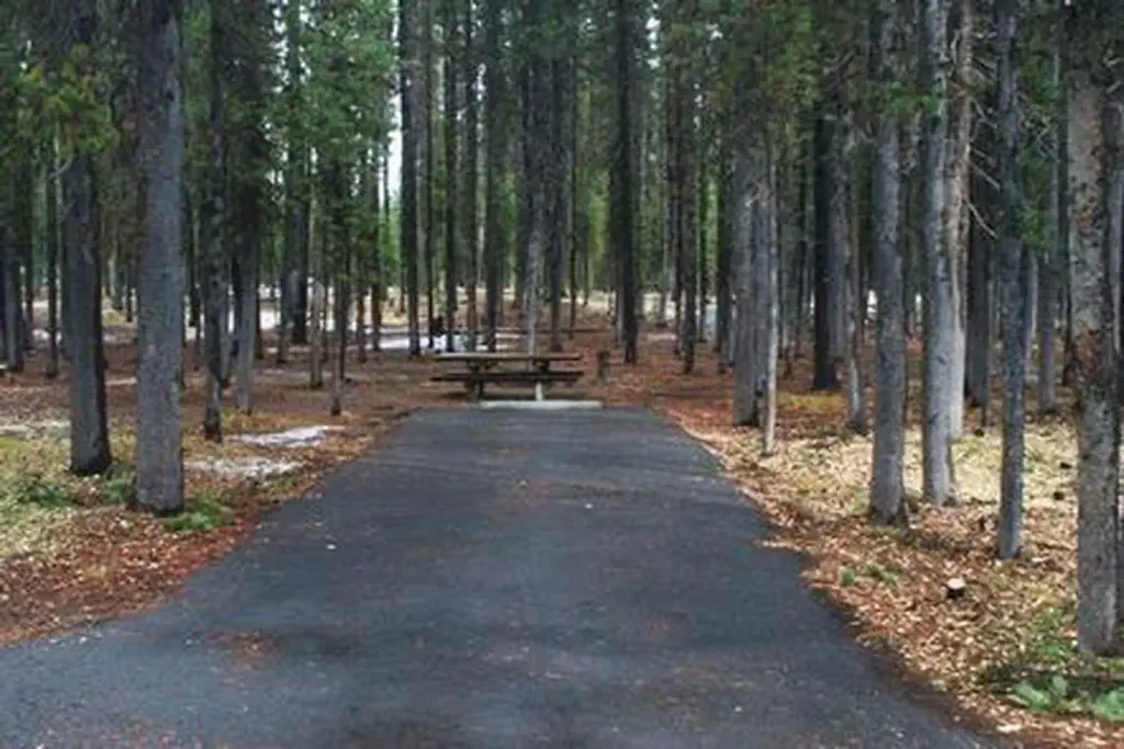 Broken Arrow CampgroundCampingPhoto: Recreation.gov (RIDB) / public domain0.3 mi
 LAKE WEST SNOMOHikingPhoto: OregonDOT, CC BY 2.0 (via Flickr)0.4 mi
- DIAMOND LAKE LOOP RD SNOMOHiking0.8 mi
- Horse Lake TrailHiking0.9 mi
- CRATER LAKE SNOMOHiking0.9 mi
 Diamond LakeCampingPhoto: Recreation.gov (RIDB) / public domain1.6 mi
Source: Roamze catalog (indexable pages within 10 miles, PostGIS distance)
 Rogue RiverCanoeing · ~27 min drivePhoto: Bob Heims, U.S. Army Corps of Engineers, Public domain (via Wikimedia Commons)
- North End Boat RampBoat launch · ~5 min drive
- Canton Creek CampgroundFloat trip · ~57 min drive
 Middle Fork Willamette RiverCanoeing · ~40 min drivePhoto: Arkyan, CC BY-SA 3.0 (via Wikimedia Commons)
- Digit Point Boat LaunchBoat launch · ~19 min drive
 Elk CreekCanoeing · ~58 min drivePhoto: Little Mountain 5, CC BY-SA 3.0 (via Wikimedia Commons)
- Toketee Lake Boat RampBoat launch · ~28 min drive
 South Umpqua RiverCanoeing · ~47 min drivePhoto: McD22, CC BY 2.0 (via Wikimedia Commons)
- Spring Boat LaunchBoat launch · ~40 min drive
- North Umpqua RiverCanoeing · ~23 min drive

