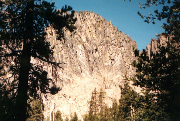
Woods Line Rails to Trails
- 39.4 mi
- round trip
- 1,365 ft
- climb
- 5,286 ft
- high point
- Out and back
- route
- May–Jun, Aug–Sep
- best months
The Woods Line Rails to Trails hike covers 39.4 miles along the OC&E Woods Line State Trail in Oregon, on city-managed land. The route is an out-and-back with a front-loaded climb, rising from a low point of 4,554 feet to a high of 5,286 feet, with a total gain of 1,365 feet over the full trip. The steepest stretch comes at about 6.8 miles in, with a grade of about 5%. The trail is natural-surfaced and allows horses, and it is not accessible. Summer is the most comfortable time to go. Typical averages from a nearby weather station at Gerber Dam run from highs around 75°F in June to about 86°F in July, with the trail sitting a few hundred feet higher than that station. Plan on about 14 hours for the round trip, and the route is open year-round. Horseglades campground is about 8 miles away, and the OC&E Woods Line State Trail (Woods Line Section) is about 6 miles off. Paddlers can find the North Fork Sprague River and Sprague River within roughly 9 miles.
Local outfitters
- Sky Lakes Wilderness Adventures36 mi away
- Yamsi Fly Fishing37 mi away
Not on Roamze yet. Their page has how to reach them.
Best time to go · May–Jun, Aug–Sep
Best time to visit Woods Line Rails to Trails
Best months: May–June and August–September. Best months have typical highs of 55–85 °F, lows of 30 °F or warmer (32 °F where the station doesn't record snow), at most one snowy day and no more than 12 wet days.
Jan
43° / 21°
Feb
45° / 24°
Mar
49° / 25°
Apr
56° / 29°
May
64° / 37°
Jun
75° / 40°
Jul
86° / 48°
Aug
84° / 47°
Sep
78° / 39°
Oct
64° / 31°
Nov
49° / 25°
Dec
40° / 19°
Typical high / low (°F) and days with rain or snow, 1991–2020. Measured at Gerber Dam, OR, 20.7 mi away at 4,870 ft. This station doesn't record snowfall. Source: NOAA NCEI U.S. Climate Normals 1991–2020.
Keep exploring — more trails worth the drive
 Photo: ex_magician, CC BY 2.0 (via Flickr)
Sprague River Trail
~23 min drive
0.86-mile out-and-back hike along the Sprague River in Oregon.
 Photo: U.S. Forest Service- Pacific Northwest Region, Public domain (via Wikimedia Commons)
Dead Cow Trail
~34 min drive
3.80-mile out-and-back trail in Oregon with 13 ft gain and 666 ft loss
Photo: U.S. Forest Service- Pacific Northwest Region, Public domain (via Wikimedia Commons)Lakes Loop
~34 min drive
14-mile loop trail in Oregon with 1,412 ft elevation gain.
HIKE
Boulder Springs
~23 min drive
4.80-mile out-and-back trail in Oregon with 1,628 ft gain.
Photo: ex_magician, CC BY 2.0 (via Flickr)Sprague River Spur A
~23 min drive
0.96-mile out-and-back trail at Sprague River Spur A in Oregon with 58 ft of elevation gain.
HIKE
National Forest Development Road 4452 Trail
~31 min drive
5.51-mile point-to-point forest service road trail in Oregon.
 Photo: Gary Halvorson, Oregon State Archives, CC BY 4.0 (via Wikimedia Commons)
QUARTZ NORDIC EAST LOOP
~36 min drive
17.4-mile out-and-back trail in Oregon with 2,275 ft elevation gain/loss.
HIKE
QUARTZ MTN. NORDIC TRAIL
~36 min drive
19.96-mile out-and-back trail with 2,635 ft elevation gain and loss in Oregon.
Photo: U.S. Forest Service- Pacific Northwest Region, Public domain (via Wikimedia Commons)Lakes Loop Tie
~33 min drive
Lakes Loop Tie is a 0.40-mile lollipop trail in Oregon with 149 feet of elevation gain.
HIKE
Spur
~31 min drive
5.36-mile out-and-back trail in Oregon with 706 ft gain