Horseglades
- May–Jun, Aug–Sep
- best months
Is Horseglades open right now?
No closures listed
The Forest Service lists no closures for Fremont-Winema National Forest.
As of · Source: USFS · Fremont-Winema National Forest. Agencies don't list every closure — check before you go.
- At 5,100 ft
- Bly Ranger DistrictFremont-Winema National Forest
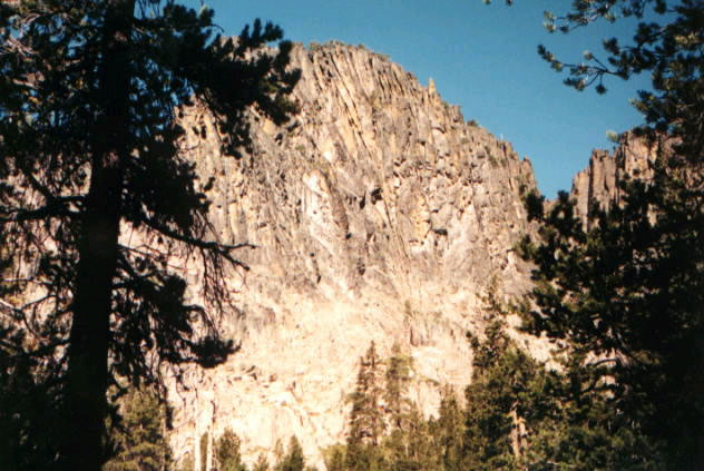
Horseglade campground provides access to Woods Line Spur of the OC and E Trail. Trail users can go south following the Five Mile Creek or head north toward the Sycan Marsh to view Merritt Creek Trestle. The Horseglade campground is 40 minutes north of Bly, Oregon, is situated on the Oregon California and Eastern State (OC and E) Trail, a 100-mile trail built on the old railbed of the OC and E Railroad. This trail is open to hikers, horseback riders and mountain bikers. It begins in the heart of Klamath Falls, Oregon, extending east to Bly, Oregon, and north to the lush Sycan Marsh on the Woods Line railroad spur. Amenities at the campground include picnic tables, campfire rings, a vault toilet and a parking area with room for trailer turnaround. There is no potable water at the campground. Visitors need to pack plenty of water. Maintenance services are provided from June 15th through September 15th.
Local outfitters
- Valley View RV Park45 mi away
- Wild Goose Meadows RV Park46 mi away
Not on Roamze yet. Their page has how to reach them.
Best time to go · May–Jun, Aug–Sep
Best time to visit Horseglades
Best months: May–June and August–September. Best months have typical highs of 55–85 °F, lows of 30 °F or warmer (32 °F where the station doesn't record snow), at most one snowy day and no more than 12 wet days.
Jan
43° / 21°
Feb
45° / 24°
Mar
49° / 25°
Apr
56° / 29°
May
64° / 37°
Jun
75° / 40°
Jul
86° / 48°
Aug
84° / 47°
Sep
78° / 39°
Oct
64° / 31°
Nov
49° / 25°
Dec
40° / 19°
Typical high / low (°F) and days with rain or snow, 1991–2020. Measured at Gerber Dam, OR, 28 mi away at 4,870 ft. This station doesn't record snowfall. Source: NOAA NCEI U.S. Climate Normals 1991–2020.
Keep exploring — more campsites worth the drive
BED
Horse Glade Trailhead
Next door
Horse Glade Trailhead is a campground in Oregon at about 5,066 feet. It is managed by the U.S. Forest Service.
SEE
Bald Butte Lookout Recreation Site
~27 min drive
BED
Sandhill Crossing Campground
~19 min drive
BED
Lee Thomas Campground
~22 min drive
BED
Bald Butte Lookout (Fremont-Winema National Forest, OR)
~27 min drive
BED
Bald Butte Lookout
~27 min drive
Bald Butte Lookout is a campground in Oregon at about 7,539 feet. It is managed by the U.S. Forest Service.
BED
Hanan/Sycan Campground
~27 min drive
Hanan/Sycan Campground is a campground in Oregon at about 6,641 feet. It is managed by the U.S. Forest Service.
BED
Currier Springs Horse Camp
~28 min drive
Currier Springs Horse Camp is a campground in Oregon at about 6,852 feet, with 4 sites. It is managed by the U.S. Forest Service.
BED
Deadhorse Lake Campground
~28 min drive
BED
Campbell Lake Campground
~30 min drive