Wolf Creek Group Site
Campground
Campground · 0.9 mi from the trail
Wolf Creek Trail is an easy out-and-back hike on Bureau of Land Management land in Oregon's Roseburg District Swiftwater Field Office, about 1.16 miles long with a total elevation gain of 516 feet. The trail starts at the Wolf Creek Falls Trailhead and reaches a high point of 1,310 feet before returning to its low point of 1,047 feet. Summer is the most comfortable time to go. Typical averages from a nearby weather station show July and August highs around 84°F with only about three wet days a month, while winter months bring highs in the mid-40s and rain on 17 or more days. Wolf Creek Group Site, a campground, sits about 0.9 miles away, and the Nature Trail is about a mile off. Climbers can head to Chickenhead Wall, roughly 2.8 miles away, and Coolwater campground is about 4 miles away.
Wolf Creek Group Site
Campground
Splitz Family Grill
Restaurant
Floed-Lane House Museum
Museum
Places © OpenStreetMap contributors
More in Myrtle CreekNot on Roamze yet. Their page has how to reach them.
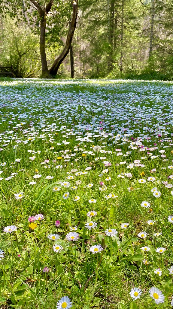 Emerald TrailHikingPhoto: lamblukas, CC BY 2.0 (via Flickr)5 mi
 Cavitt CreekCanoeingPhoto: Bureau of Land Management Oregon and Washington, Public domain (via Wikimedia Commons)5.8 mi
Source: Roamze catalog (indexable pages within 10 miles, PostGIS distance)
Emerald TrailHiking · ~9 min drivePhoto: lamblukas, CC BY 2.0 (via Flickr) North Umpqua TrailHiking · ~12 min drivePhoto: Bonnie Moreland (free images), Public Domain Mark (via Flickr)Susan Creek Falls TrailHiking · ~9 min drivePhoto: lamblukas, CC BY 2.0 (via Flickr)
 North Umpqua Trail: CalfHiking · ~25 min drivePhoto: Forest Service Pacific Northwest Region, Public Domain Mark (via Flickr)
 Shadow FallsHiking · ~9 min drivePhoto: Forest Service Pacific Northwest Region, Public Domain Mark (via Flickr)
 North Umpqua Trail: CalfHiking · ~29 min drivePhoto: Forest Service Pacific Northwest Region, Public Domain Mark (via Flickr)
Also worth it near here
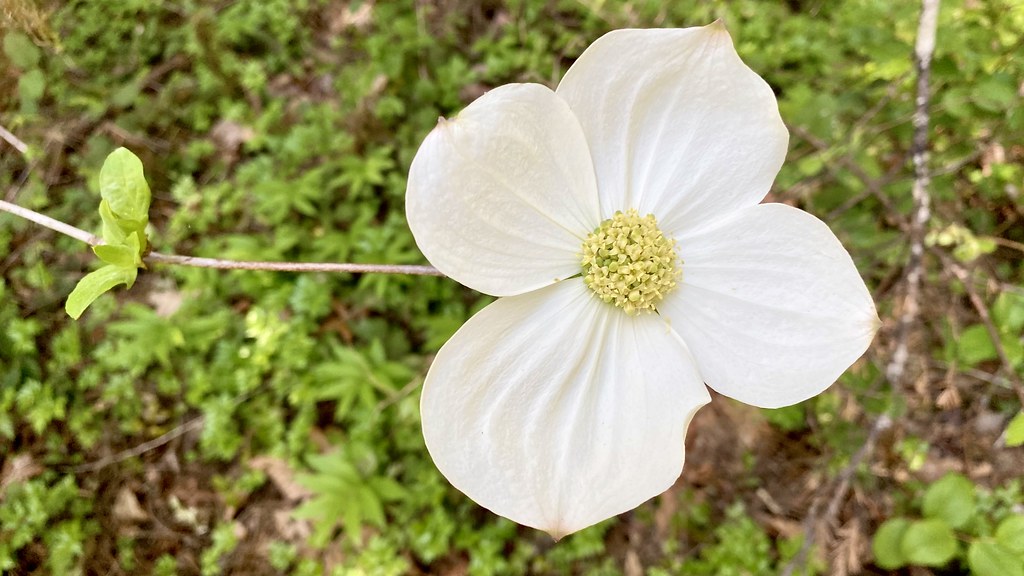 Susan Creek RV ParkCamping · ~8 min drivePhoto: lamblukas — CC BY 2.0 (via Flickr)Cavitt CreekCanoeing · ~10 min drivePhoto: Bureau of Land Management Oregon and Washington, Public domain (via Wikimedia Commons)
Best months: May–October. Best months have typical highs of 55–85 °F, lows of 30 °F or warmer (32 °F where the station doesn't record snow), at most one snowy day and no more than 12 wet days.
Jan
46° / 34°
17 wet
Feb
50° / 34°
15 wet
Mar
56° / 36°
17 wet
Apr
62° / 39°
16 wet
May
70° / 43°
12 wet
Jun
75° / 47°
7 wet
Jul
84° / 50°
3 wet
Aug
84° / 50°
3 wet
Sep
78° / 46°
5 wet
Oct
64° / 41°
11 wet
Nov
51° / 38°
17 wet
Dec
44° / 33°
18 wet
Typical high / low (°F) and days with rain or snow, 1991–2020. Measured at Idleyld Park 4 Ne, OR, 9.5 mi away at 1,080 ft. This station doesn't record snowfall. Source: NOAA NCEI U.S. Climate Normals 1991–2020.
