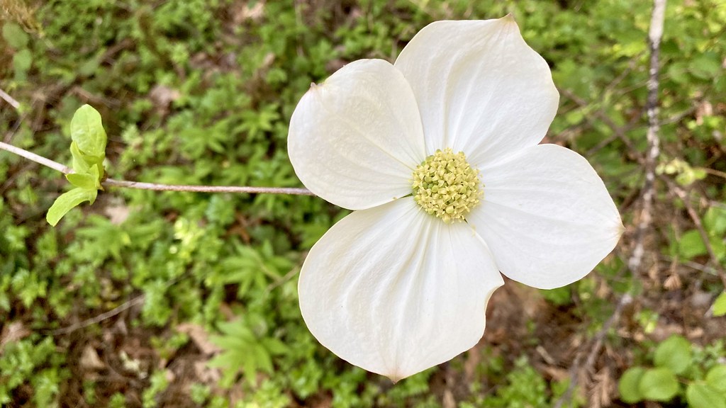
Wolf Creek Group Site
Campground
Campground · 0.1 mi from the trail
Alert in the area
The Forest Service lists 4 alerts for Umpqua National Forest.
Fall Prescribed Burning
Agency alert covering Umpqua National Forest · USFS · Umpqua National Forest
Poole Creek Campground Closed for the 2026 Season
Agency alert covering Umpqua National Forest · USFS · Umpqua National Forest
National Forest Service Road 28 Roadwork
Agency alert covering Umpqua National Forest · USFS · Umpqua National Forest
Blue-Green Algae Precaution for Diamond and Lemolo Lakes
Agency alert covering Umpqua National Forest · USFS · Umpqua National Forest
As of · Source: USFS · Umpqua National Forest. Agencies don't list every closure — check before you go.
Nature Trail is a short, easy hike in the North Umpqua Ranger District of Oregon's Umpqua National Forest, managed by the Forest Service. The trail is about 1.3 miles long and rises roughly 129 feet from its starting point, with the high point at about 1,250 feet. It is an out-and-back route, and the climb is gentle, with the steepest stretch at about 0.11 miles in, where the grade reaches 17 percent. The trail is accessible and is surfaced with gravel. Bikes are allowed, so it works for a walk or a ride. The trip takes about half an hour, and the trail is open year-round. Summer is the most comfortable time to go. Typical averages from a nearby weather station show July and August highs around 84°F with only about three wet days a month, while winter months bring highs in the mid-40s and rain on most days. Wolf Creek Group Site is just 0.1 mile away, and Wolf Creek Trail is about a mile off. Coolwater campground and the Chickenhead Wall climbing area are both within about 3.3 miles.
Wolf Creek Group Site
Campground
Splitz Family Grill
Restaurant
Floed-Lane House Museum
Museum
Places © OpenStreetMap contributors
More in Myrtle CreekNot on Roamze yet. Their page has how to reach them.
Best months: May–October. Best months have typical highs of 55–85 °F, lows of 30 °F or warmer (32 °F where the station doesn't record snow), at most one snowy day and no more than 12 wet days.
Jan
46° / 34°
17 wet
Feb
50° / 34°
15 wet
Mar
56° / 36°
17 wet
Apr
62° / 39°
16 wet
May
70° / 43°
12 wet
Jun
75° / 47°
7 wet
Jul
84° / 50°
3 wet
Aug
84° / 50°
3 wet
Sep
78° / 46°
5 wet
Oct
64° / 41°
11 wet
Nov
51° / 38°
17 wet
Dec
44° / 33°
18 wet
Typical high / low (°F) and days with rain or snow, 1991–2020. Measured at Idleyld Park 4 Ne, OR, 9.1 mi away at 1,080 ft. This station doesn't record snowfall. Source: NOAA NCEI U.S. Climate Normals 1991–2020.
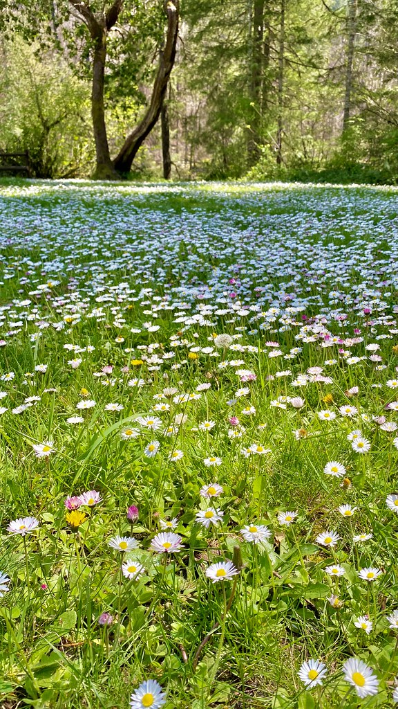 Photo: lamblukas, CC BY 2.0 (via Flickr)
Emerald Trail
~7 min drive
Out-and-back Oregon trail featuring scenic natural landscapes.
 Photo: Bonnie Moreland (free images), Public Domain Mark (via Flickr)
North Umpqua Trail
~12 min drive
Riverside out-and-back trail following the North Umpqua River through Oregon's Cascades.
HIKE
Cougar Creek Trail
~15 min drive
3.1-mile out-and-back trail in Oregon with 1,875 ft elevation gain.
HIKE
Cougar Creek Trail
~15 min drive
3.26-mile out-and-back hike in Oregon with 2,720 ft elevation gain
Photo: lamblukas, CC BY 2.0 (via Flickr)Susan Creek Falls Trail
~7 min drive
0.74-mile out-and-back to Susan Creek Falls in Oregon
 Photo: U.S. Forest Service- Pacific Northwest Region, Public domain (via Wikimedia Commons)
North Umpqua Trail: Mott
~14 min drive
9.9-mile out-and-back trail on the North Umpqua Trail with 4,818 ft gain/loss.
HIKE
Hemlock Creek
~19 min drive
3.10-mile out-and-back trail in Oregon with 1,942 ft elevation gain
HIKE
Mace Mountain
~15 min drive
Mace Mountain is an 8.80-mile out-and-back trail in Oregon with 967 ft gain.
 Photo: Forest Service Pacific Northwest Region, Public Domain Mark (via Flickr)
Shadow Falls
~10 min drive
1.20-mile out-and-back trail in Oregon with 133 ft gain and 305 ft loss.
 Photo: Forest Service Pacific Northwest Region, Public Domain Mark (via Flickr)
North Umpqua Trail: Calf
~23 min drive
7.38-mile out-and-back trail on the North Umpqua Trail system in Oregon.
Also worth it near here