Wilson River Wagon Road Trail
- 1.6 mi
- round trip
- 613 ft
- climb
- 1,848 ft
- high point
- Out and back
- route
- Jun–Sep
- best months
Wilson River Wagon Road Trail is an easy out-and-back hike in western Oregon, about 1.6 miles long and with a total climb of 613 feet. The route starts and ends at roughly 1,685 feet and reaches a high point of 1,848 feet, so the whole trip rises and falls that much over its 3.2-mile length. It is a rolling climb, with the steepest stretch at about 0.5 miles in, peaking at 11 percent grade. The State Land Board manages the land, which falls within the Forest Development Fund of the Board of Forestry. Summer is the most comfortable time to go. Typical averages from a nearby weather station at Vernonia, about 20 miles away, put July and August highs in the upper 70s with only four wet days a month. That station sits well below the trail, so temperatures on the higher ground run cooler. Winters are damp and cold, with highs in the mid-40s and rain on about 20 days a month from November through January. The hike takes about 1.5 hours. Several other trails lie within a mile, including the Quarry Trail and the University Fire Power Trail. Paddlers can find the Devils Lake Fork about 1.3 miles away.
Local outfitters
- Adventures Without Limits13 mi away
- Cascadia Wild34 mi away
Not on Roamze yet. Their page has how to reach them.
Best time to go · Jun–Sep
Best time to visit Wilson River Wagon Road Trail
Best months: June–September. Best months have typical highs of 55–85 °F, lows of 30 °F or warmer (32 °F where the station doesn't record snow), at most one snowy day and no more than 12 wet days.
Jan
46° / 32°
20 wet
Feb
49° / 31°
17 wet
Mar
54° / 33°
19 wet
Apr
59° / 36°
17 wet
May
66° / 40°
13 wet
Jun
70° / 44°
9 wet
Jul
77° / 47°
4 wet
Aug
78° / 47°
4 wet
Sep
73° / 43°
8 wet
Oct
61° / 38°
15 wet
Nov
51° / 34°
19 wet
Dec
44° / 31°
20 wet
Typical high / low (°F) and days with rain or snow, 1991–2020. Measured at Vernonia #2, OR, 20.2 mi away at 625 ft. The station sits about 1,200 ft lower than this place, so expect it a little cooler here. Source: NOAA NCEI U.S. Climate Normals 1991–2020.
Keep exploring — more trails worth the drive
 Photo: LukeDetwiler, CC BY 2.0 (via Flickr)
University Fire Power Trail
~2 min drive
0.6-mile out-and-back hike in Oregon with 129 ft elevation gain.
Photo: LukeDetwiler, CC BY 2.0 (via Flickr)Side Step Trail
~3 min drive
1.66-mile out-and-back trail in Oregon with 842 ft elevation gain and loss.
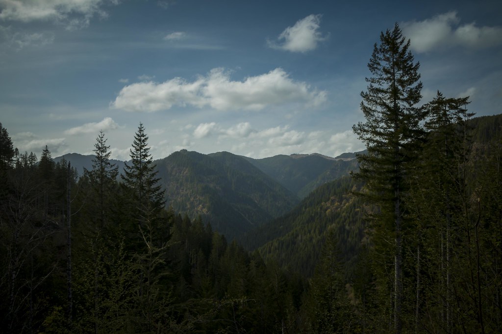 Photo: LukeDetwiler, CC BY 2.0 (via Flickr)
Wilson River Trail
~8 min drive
5.08-mile out-and-back hike in Oregon with 4,069 ft elevation gain/loss.
HIKE
Gales Creek Trail
~11 min drive
17.02-mile out-and-back trail in Oregon with 5,056 ft elevation gain/loss.
Photo: LukeDetwiler, CC BY 2.0 (via Flickr)Horseshoe Trail
~4 min drive
1.0-mile out-and-back trail in Oregon with 342 ft elevation gain
Photo: LukeDetwiler, CC BY 2.0 (via Flickr)Elliott Creek Trail
~3 min drive
1.66-mile out-and-back trail in Oregon with 805 ft elevation gain.
HIKE
Storey Burn Trail
~5 min drive
7.28-mile out-and-back hike in Oregon with 2,751 ft elevation gain.
HIKE
Elk Creek Trail
~12 min drive
7.12-mile out-and-back trail in Oregon with 4,547 ft elevation gain.
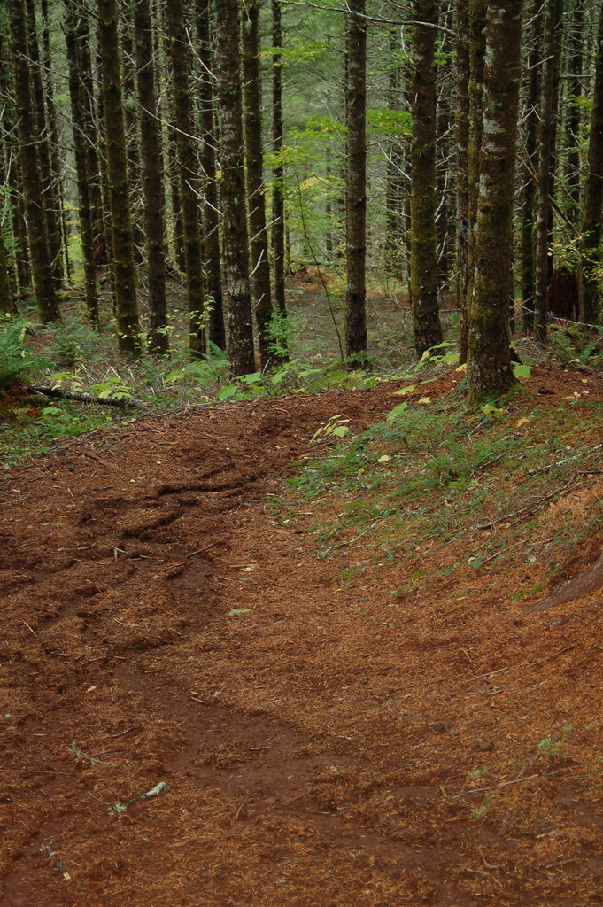 Photo: bzo, CC BY-SA 2.0 (via Flickr)
Kings Mountain Jr.
~14 min drive
0.94-mile out-and-back trail in Oregon with 519 ft elevation gain.
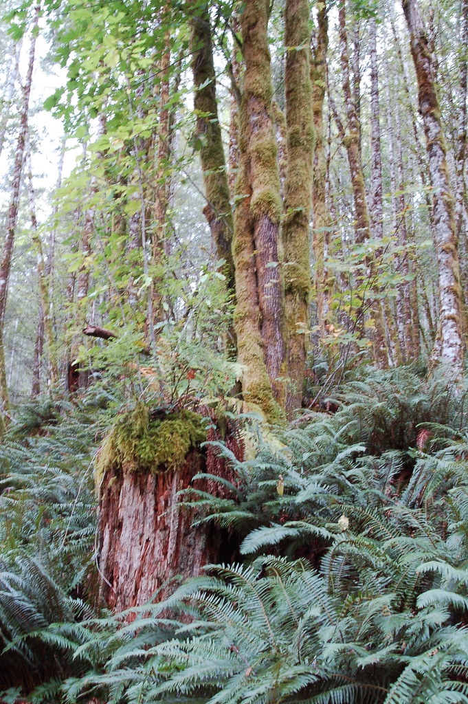 Photo: bzo, CC BY-SA 2.0 (via Flickr)
Elk Mountain-Kings Mountain Loop
~12 min drive
Scenic ridge point-to-point connecting two Coast Range peaks with forest and open views.


Map and trail data © OpenStreetMap contributors
