Gales Creek Trail
- 8.5 mi
- round trip
- 5,056 ft
- climb
- 2,603 ft
- high point
- Out and back
- route
Gales Creek Trail is an out-and-back hike in Oregon on state land managed by the State Land Board, within the Forest Development Fund (Board of Forestry) unit. The route is 17 miles long, with a total elevation gain of 5,056 feet, and it is rated expert. The trail starts at about 1,405 feet and climbs steadily to a high point of 2,603 feet. The steepest stretch comes at about 7.1 miles, where the grade reaches 33 percent. The trip takes about 8 hours. Plan for a full day, with time to rest and take in the steady climb. The trail is a long, challenging route, and the total gain is about double the one-way figure of 2,357 feet. Several other outings sit close by. Raven Ridge Mountain Bike Trail is about a mile away, and Step Creek Trail is about 1.2 miles off. Triple C Trail is about 1.6 miles away. Paddlers can head to Gales Creek, about 3.9 miles from the trail.
Local outfitters
- Adventures Without Limits17 mi away
- River's Edge RV Resort and Camping30 mi away
Not on Roamze yet. Their page has how to reach them.
- Raven Ridge Mountain Bike TrailHiking1.1 mi
- Step Creek TrailMountain biking1.2 mi
- Triple C TrailHiking1.6 mi
- Wolf CreekCanoeing3.3 mi
- Storey Burn TrailMountain biking3.3 mi
 Nehalem RiverCanoeingPhoto: User Decumanus on en.wikipedia, CC BY-SA 3.0 (via Wikimedia Commons)3.7 mi
 Gales CreekCanoeingPhoto: M.O. Stevens, CC BY-SA 3.0 (via Wikimedia Commons)3.9 mi
- Devils Lake ForkCanoeing5.6 mi
Source: Roamze catalog (indexable pages within 10 miles, PostGIS distance)
 Elliott Creek TrailHiking · ~9 min drivePhoto: LukeDetwiler, CC BY 2.0 (via Flickr)
- Horseshoe TrailHiking · ~11 min drivePhoto: LukeDetwiler, CC BY 2.0 (via Flickr)
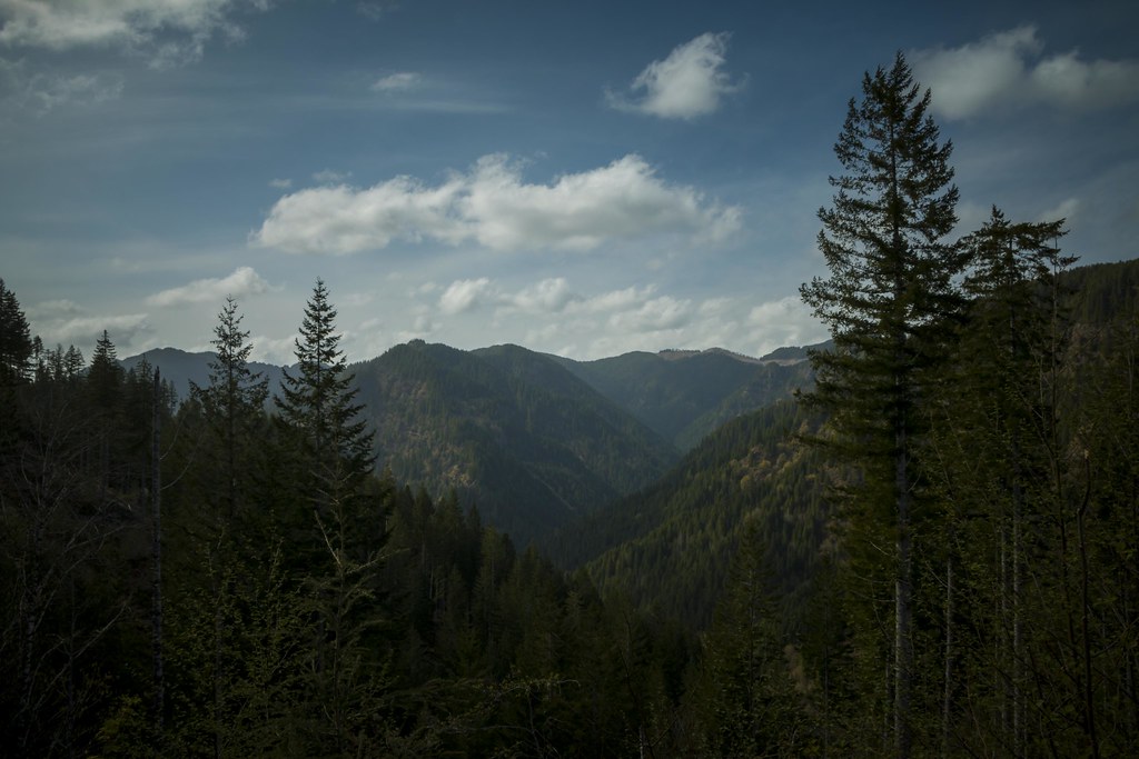 Wilson River TrailHiking · ~12 min drivePhoto: LukeDetwiler, CC BY 2.0 (via Flickr)
- Elk Creek TrailHiking · ~13 min drive
- Side Step TrailHiking · ~11 min drivePhoto: LukeDetwiler, CC BY 2.0 (via Flickr)
- University Fire Power TrailHiking · ~12 min drivePhoto: LukeDetwiler, CC BY 2.0 (via Flickr)
- Storey Burn TrailHiking · ~6 min drive
- Raven Ridge Mountain Bike TrailHiking · ~2 min drive
 Dooley Spur LoopHiking · ~15 min drivePhoto: Deciare, CC BY-SA 2.0 (via Flickr)
- Triple C TrailHiking · ~3 min drive

Map and trail data © OpenStreetMap contributors
