Elk Mountain-Kings Mountain Loop
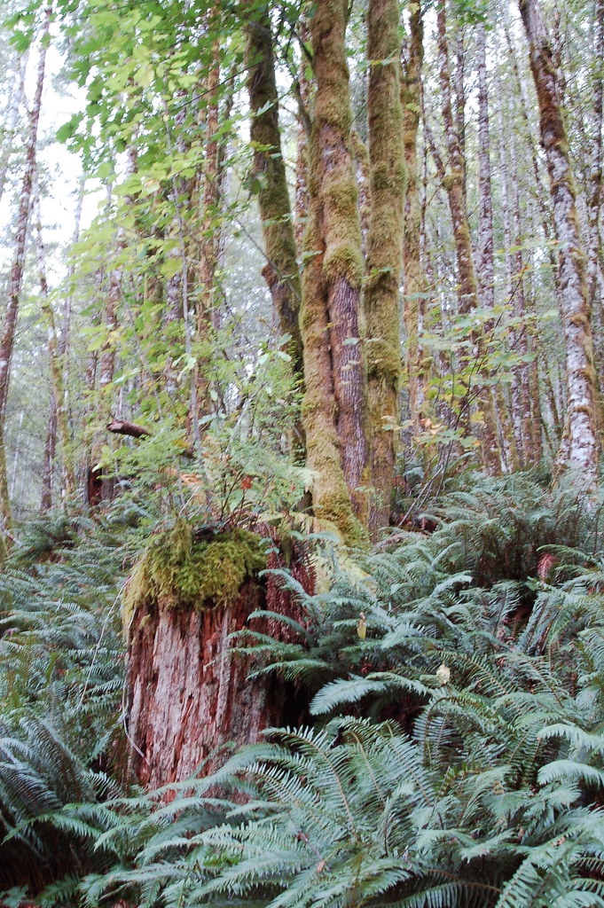 Photo: bzo, CC BY-SA 2.0 (via Flickr)
- 13.0 mi
- one way
- 5,625 ft
- climb
- 3,214 ft
- high point
- Point to point
- route
Elk Mountain-Kings Mountain Loop is a 13-mile point-to-point hike in Oregon, crossing from an elevation of about 860 feet to a high point of 3,214 feet with a total climb of roughly 5,625 feet. The route is rated moderate, and it lies on land managed by the State Land Board within the Forest Development Fund (Board of Forestry) unit. The hike is a long, steady climb. It begins at a low of about 680 feet and ends at the top of Kings Mountain, so plan for a full day, and allow time to move at your own pace through the change in elevation. Bikes and horses are not allowed. Kings Mountain Jr. and Ben Smith Loop both start within about a mile of the trail, and the Wilson River offers paddling about 1.4 miles away. For another walk, the Old Wilson River Trail is about 2.4 miles off.
Local outfitters
- Adventures Without Limits20 mi away
- Hart's Camp35 mi away
Not on Roamze yet. Their page has how to reach them.
Conditions and forecast on Kings Mountain
Daily highs and lows, wind and the chance of precipitation at the summit and route start for the next 7 days, from the Open-Meteo model.
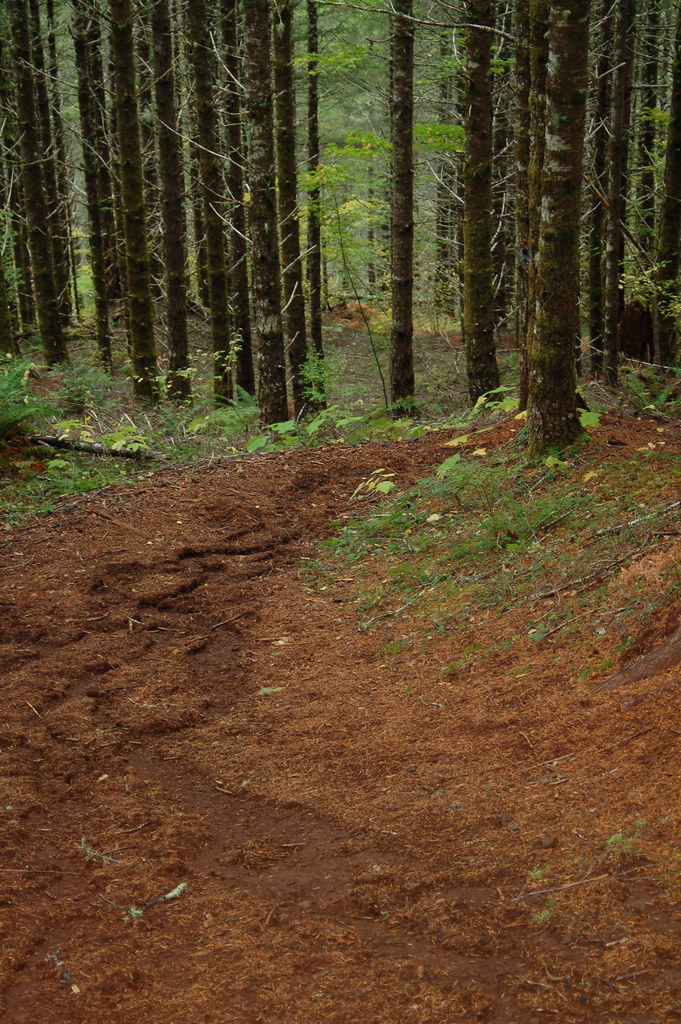 Kings Mountain Jr.HikingPhoto: bzo, CC BY-SA 2.0 (via Flickr)1 mi
- Ben Smith LoopHiking1.2 mi
 Wilson RiverCanoeingPhoto: Finetooth, CC BY-SA 3.0 (via Wikimedia Commons)1.4 mi
 Old Wilson River TrailHikingPhoto: Ryan Harvey, CC BY-SA 2.0 (via Flickr)2.4 mi
- Elk Creek TrailHiking2.5 mi
- Elk CreekCanoeing3.4 mi
- South Fork Wilson RiverCanoeing3.6 mi
- North Fork Wilson RiverCanoeing3.8 mi
Source: Roamze catalog (indexable pages within 10 miles, PostGIS distance)
- Kings Mountain Jr.Hiking · ~2 min drivePhoto: bzo, CC BY-SA 2.0 (via Flickr)
 Wilson River TrailHiking · ~5 min drivePhoto: Mafue, CC BY-SA 2.0 (via Flickr)
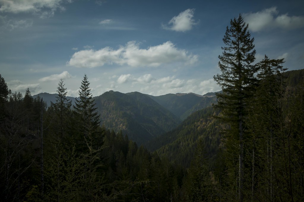 Wilson River TrailHiking · ~5 min drivePhoto: LukeDetwiler, CC BY 2.0 (via Flickr)
 Side Step TrailHiking · ~9 min drivePhoto: LukeDetwiler, CC BY 2.0 (via Flickr)
- Old Wilson River TrailHiking · ~4 min drivePhoto: Ryan Harvey, CC BY-SA 2.0 (via Flickr)
- Elk Creek TrailHiking · ~4 min drive
- Jordan Creek TrailHiking · ~7 min drive
- Elliott Creek TrailHiking · ~10 min drivePhoto: LukeDetwiler, CC BY 2.0 (via Flickr)
- Horseshoe TrailHiking · ~8 min drivePhoto: LukeDetwiler, CC BY 2.0 (via Flickr)
- Deer Fence TrailHiking · ~8 min drive
Also worth it near here

Route details
- Distance
- 13.0 mi
- Climbing
- About 5,625 ft
- Summit
- 3,224 ft
- Difficulty
- Moderate
- Time
- About 6 hours
Questions about this route
How long is the Elk Mountain-Kings Mountain Loop on Kings Mountain?
About 13.0 mi.
How much elevation gain is on the Elk Mountain-Kings Mountain Loop?
About 5,625 ft of climbing round trip.
How hard is the Elk Mountain-Kings Mountain Loop?
It is rated moderate.
How long does the Elk Mountain-Kings Mountain Loop take?
About 6 hours round trip.
Map and trail data © OpenStreetMap contributors
