Todd Creek Horse Camp
Campground
Campground · 4.8 mi from the trail
Closure in the area
There's a closure order in Deschutes National Forest. It doesn't name Vista Butte Trail #40.2, so check the source for the area it covers (3 listed).
West Bend Area Trail Closures
Agency closure covering Deschutes National Forest · USFS · Deschutes National Forest
West Bend IRSC- Area, Road and Trail Closure
Agency closure covering Bend/Fort Rock Ranger District · Order 06-01-01-26-03 · USFS · Bend/Fort Rock Ranger District
Cabin Butte Area Closure
Agency closure covering Bend/Fort Rock Ranger District · Order 06-01-01-26-01 · USFS · Bend/Fort Rock Ranger District
Camping & Campfire Restrictions Forest Order
Agency alert covering Deschutes National Forest · Order 06-01-26-01 · USFS · Deschutes National Forest
Cave Resource Protection Forest Order
Agency alert covering Deschutes National Forest · Order 06-01-26-02 · USFS · Deschutes National Forest
As of · Source: USFS · Deschutes National Forest. Agencies don't list every closure — check before you go.
Vista Butte Trail #40.2 is a short, easy hike in the Bend/Fort Rock Ranger District of Deschutes National Forest in Oregon, managed by the Forest Service. The trail is about half a mile long, and the round trip adds up to roughly 1.1 miles with a total elevation gain of about 250 feet. The climb is front-loaded, with the steepest stretch at about 0.22 miles from the start, where the grade reaches about 13%. The trail reaches a high point of about 6,600 feet before returning to the starting elevation of about 6,360 feet. The Butte Trail lies about half a mile away, and the Swampy-Dutchman Trail #40 and the Swampy Xc Shelter Tie are each about 0.6 miles off. For an overnight stay, Soda Creek Campground is about 6.6 miles away.
Todd Creek Horse Camp
Campground
Clearing Rock Bar
Pub
Clearwater Gallery
Gallery
Places © OpenStreetMap contributors
More in SistersNot on Roamze yet. Their page has how to reach them.
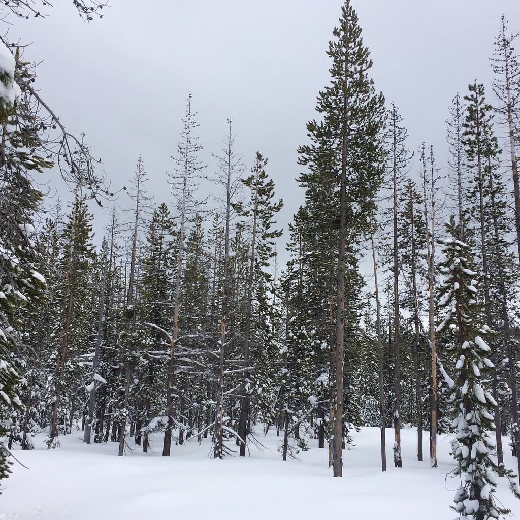 BUTTE TRAILHikingPhoto: bilbord99, CC BY 2.0 (via Flickr)0.5 mi
 Soda CreekCampingPhoto: Bonnie Moreland (free images) — Public Domain Mark 1.0 (via Flickr)6.6 mi
 Three Creeks Lake CampgroundCampingPhoto: Recreation.gov (RIDB) / public domain7 mi
Source: Roamze catalog (indexable pages within 10 miles, PostGIS distance)
BUTTE TRAILHiking · Next doorPhoto: bilbord99, CC BY 2.0 (via Flickr)Swede Ridge LoopHiking · ~2 min drivePhoto: bilbord99, CC BY 2.0 (via Flickr) South Fork Trail #25Hiking · ~4 min drivePhoto: Don Henise, CC BY 2.0 (via Flickr)RIDGE LOOPHiking · ~1 min drivePhoto: bilbord99, CC BY 2.0 (via Flickr)Bridge Creek Trail #24Hiking · ~6 min drivePhoto: Don Henise, CC BY 2.0 (via Flickr)
 Swampy Lakes Trail #23Hiking · ~4 min drivePhoto: lamblukas, CC BY 2.0 (via Flickr)Swampy LoopHiking · ~2 min drivePhoto: bilbord99, CC BY 2.0 (via Flickr)
 Tumalo MountainHiking · ~5 min drivePhoto: kallahar, CC BY 3.0 (via Wikimedia Commons)Swampy LakesHiking · ~3 min drivePhoto: bilbord99, CC BY 2.0 (via Flickr)
Map and trail data © OpenStreetMap contributors

